Ruski križ - Špik (via Kačji graben)
Starting point: Ruski križ (1000 m)
Starting point Lat/Lon: 46.4444°N 13.7746°E 
Path name: via Kačji graben
Time of walking: 4 h 50 min
Difficulty: difficult marked way
Difficulty of skiing: no data
Altitude difference: 1472 m
Altitude difference (by path): 1585 m
Map: TNP 1:50.000
Access to starting point:
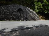
First, we drive to Kranjska Gora, and then we continue driving towards the mountain pass Vršič. Only a little before 3rd hairpin turn of Ruska cesta or Vršič road, we will on the right side notice Ruski križ (a cross), and on the left a smaller parking lot, where we park. Because the parking lot is relatively small and quickly full we can park also a little higher on a larger parking lot little above the 4th hairpin turn (in this case, we have to our starting point at Ruski križ descend a little).
To the starting point, we can also come from Primorska side through the mountain pass Vršič.
Path description:
Only a little before 3rd hairpin turn of road Ruska cesta, we will notice by the road signposts for mountain hut Koča v Krnici, which point us slightly left on a wide cart track which immediately starts moderately descending. We soon over the bridge cross a torrent stream and we are descending all the way to the riverbed of Suha Pišnica, where we have two options to continue.
To the beginning of the path on Špik through Kačji graben we can get to, if only few meters before a marked path or road crosses Suha Pišnica we continue left on a wide unmarked cart track which at first continues through the forest and then it brings us on a larger meadow. Over the meadow we continue in the direction of northeast, we walk there all the way to the riverbed of Velika Pišnica. On appropriate place we walk past the river, and then we step on a marked road which we follow to the left (right mountain hut Koča v Krnici), and we walk there to marked turn-off of the path through Kačji graben.
The second option is, that we simply cross Suha Pišnica (when there is a lot of water it isn't exactly simple) and we continue on the road which leads towards the mountain hut Koča v Krnici. Only a little after we cross the mentioned stream, the path turns slightly to the left and it brings us out of the forest on ample grassy slopes of the mountain pasture V Klinu, where on the right side we notice a lonely cottage, and on the left a smaller memorial park Mali Tamar. The path ahead entirely flattens, and then it joins the forest road which comes from the former hotel Erika or bridge over Velika Pišnica. Here we continue left (right mountain hut Koča v Krnici) and we walk on the road to marked turn-off of the path through ditch Kačji graben.
The path from the crossing ahead leaves the road and is at first ascending through overgrown forest, and higher crosses bottom part of the mentioned ditch and then steeply ascends. Ascent by Kačji graben is very steep and in wet dangerous for slipping (we get help from some fixed safety gear). After that, the path becomes a little easier and passes into a dense forest, through which we are ascending to altitude approximately 1600 meters. Forest then becomes thinner and the path brings us by the foot of mighty scree. When we ascend to the scree, the path turns a little to the left and starts ascending on gravel terrain of the scree. A walk on a relatively steep scree takes quite some energy.
Higher, the path turns to the right, crosses to falling stones exposed gully and then it brings us into a smaller cirque between Špik on the left and Liprtica (Lipnica) on the right. Here the path for a short time flattens a little and in few next strides it brings us to the spot, where joins the path over Grunt or path over Lipnica.
Here we continue left, on the path which very steeply ascends on the upper slope of Špik (without fixed safety gear). After approximately 15 minutes of walking on the upper slope, on which we ascend on rugged rocks we reach the panoramic peak.
In the last part of the path is a great risk of falling stones.
Pictures:
 1
1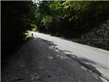 2
2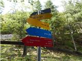 3
3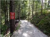 4
4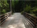 5
5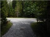 6
6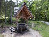 7
7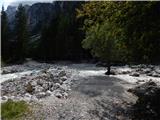 8
8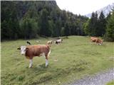 9
9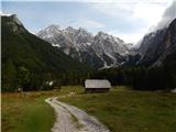 10
10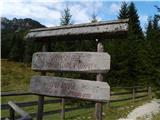 11
11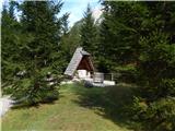 12
12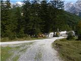 13
13 14
14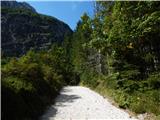 15
15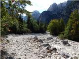 16
16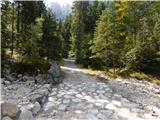 17
17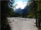 18
18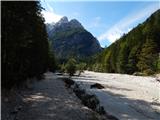 19
19 20
20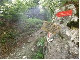 21
21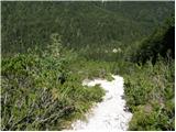 22
22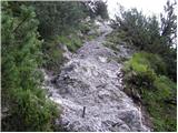 23
23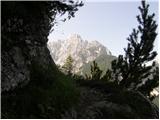 24
24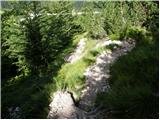 25
25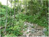 26
26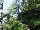 27
27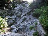 28
28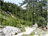 29
29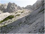 30
30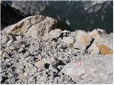 31
31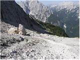 32
32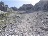 33
33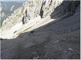 34
34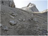 35
35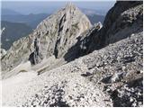 36
36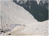 37
37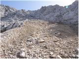 38
38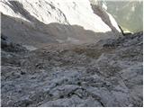 39
39 40
40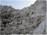 41
41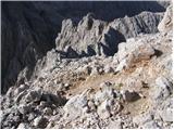 42
42 43
43