Šahovec - Trebni vrh (Baragova pot)
Starting point: Šahovec (340 m)
Starting point Lat/Lon: 45.8801°N 14.9979°E 
Path name: Baragova pot
Time of walking: 1 h 5 min
Difficulty: easy marked way
Difficulty of skiing: no data
Altitude difference: 241 m
Altitude difference (by path): 255 m
Map:
Access to starting point:
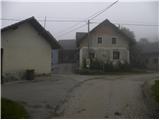
A) We leave the Ljubljana–Novo mesto highway at the Trebnje–west exit, then continue driving towards Žužemberk and Dobrnič. When we arrive in Dobrnič, we leave the main road, as at the crossroads by the church we continue straight ahead and then at the inn Pr Lubčku turn left onto a somewhat narrower asphalt road. We then drive through the settlement of Lokve pri Dobrniču to the village of Šahovec, where at the crossroads in the middle of the village we continue left (there is a traffic mirror at the crossroads). From the crossroads we drive a few hundred metres further along the narrower asphalt road to a small pond, beside which we park in a suitable place.
B) First we drive to Žužemberk, then continue towards Trebnje and Dobrnič. When we arrive in Dobrnič, at the crossroads by the church we continue right and then immediately before the inn Pr Lubčku turn left onto a somewhat narrower asphalt road. We then drive through the settlement of Lokve pri Dobrniču to the village of Šahovec, where at the crossroads in the middle of the village we continue left (there is a traffic mirror at the crossroads). From the crossroads we drive a few hundred metres further along the narrower asphalt road to a small pond, beside which we park in a suitable place.
Path description:
From the pond we go left and start the path along the edge of the forest on a cart track that leads into the forest. Baragova pot is initially quite easy to follow, as it runs along a cart track or forest track. A little higher we leave the cart track, as the signs for Baragova pot direct us onto a short section of the path where the trail is harder to follow and overgrown, but if we carefully follow the signs we will soon reach another cart track, along which we continue the moderate ascent. Further on, the cart track levels out even more and brings us out of the forest to the edge of the village Vrhtrebnje.
We reach the village near the church of St. Jakob, in front of which we continue right towards the landmark of the 15th meridian and the hunting lodge, to which we have only a minute's walk.
From the hunting lodge we continue along the macadam road, which we soon leave, and continue the path left onto a forested cart track along which we ascend to Trebni vrh.
Pictures:
 1
1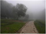 2
2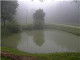 3
3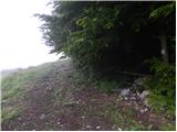 4
4 5
5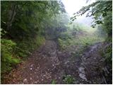 6
6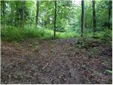 7
7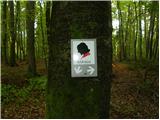 8
8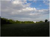 9
9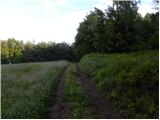 10
10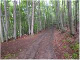 11
11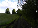 12
12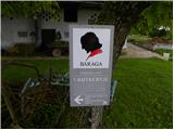 13
13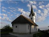 14
14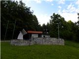 15
15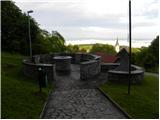 16
16 17
17 18
18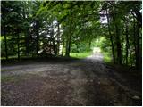 19
19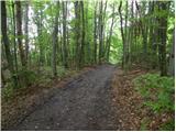 20
20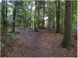 21
21 22
22