Sant'Uberto - Furcia Rossa III
Starting point: Sant'Uberto (1421 m)
Starting point Lat/Lon: 46.60229°N 12.1072°E 
Time of walking: 5 h 15 min
Difficulty: very difficult marked way
Ferrata: C
Difficulty of skiing: no data
Altitude difference: 1370 m
Altitude difference (by path): 1540 m
Map: Tabacco 03 1:25.000
Access to starting point:
Via the border crossing Rateče, we drive to Trbiž / Tarvisio, where we take the motorway in the direction of Vidma / Udine. We leave the motorway at the exit for Tolmezzo and follow the road to the mentioned place. From Tolmezzo, we continue in the direction of the settlement Ampezzo and the mountain pass Passo della Mauria. The road then starts descending and brings us to the Cadore valley, where we continue right (left to Belluno and Cortina d'Ampezzo) in the direction of the settlement Auronzo. After a few more km of driving, we reach the next major junction, where we turn right in the direction of Misurina (left to the Tre Croci pass). From here, we descend the road to a major junction, where we continue left towards Cortina d'Ampezzo (right to Austria). From the mentioned junction, we continue for about 10 km towards Cortina d'Ampezzo, then in a sharp left bend we turn right onto the road to the mountain hut Rifugio Ra Stua. We park in the parking lot at the very beginning of the mentioned road.
Path description:
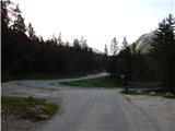
From the parking lot, we turn left onto the cart track following the signs for »Valle di Fanes« (path no. 10). The cart track starts descending from the parking lot and quickly brings us to a marked junction. At the junction, we turn right onto the footpath following the signs for »Valle di Fanes«. From the junction, the path starts descending through the forest and brings us to an asphalt road.
We continue right along the road and cross a bridge over the stream Rio di Fanes. The road, which runs along the stream, then brings us to a junction.
Right leads the more demanding path named Sentiero dei Canyons; we turn left (path no. 10) onto the road, which is asphalted for a short time and then becomes macadam. Further on, the road mostly ascends gently through the forest, and occasionally views open up to the nearby peaks.
Later, a footpath branches off to the left towards the Posporcora saddle, and we continue along the macadam road. The road then turns slightly right and crosses the deep gorge Gola di Fanes over a bridge. We continue along the road and soon reach another junction. Near the junction there are also some benches and tables.
At the junction, we continue left along the road; straight ahead leads the Scorciatoia path (shortcut), which is somewhat steeper and later rejoins the road. From the mentioned shortcut, the Sentiero dei Canyons path also branches off. To the right at the junction leads the path to the Cascata di Fanes waterfall, which is just a few minutes' walk along an exposed ledge (use of self-belaying recommended).
We therefore continue left and ascend further along the macadam road, which is also suitable for mountain bikers. After a short ascent, we reach another junction where path 401 branches off to the left towards the Forcella Posporcora notch. We continue right and ascend further along the road through the forest, from which views of the surrounding peaks open up more and more frequently. Further on, the road ascends steeply in places and is occasionally concreted. Higher up, the Sentiero dei Canyons path also branches off to the left, leading also towards the Val Travenanzes valley.
Our path then slowly turns right and approaches the Rio di Fanes stream again. Here, the Scorciatoia path joins from the right, and shortly after, the path to the last waterfall on the Rio di Fanes stream branches off to the right. The waterfall is just a few minutes' walk along an exposed path. Self-belaying is also recommended here.
At the junction, the road turns slightly left and continues along the mentioned stream. The path soon brings us out of the forest, and wonderful views open up to the surrounding peaks. The panoramic path then brings us to Lago di Fanes lake.
At the end of the lake, we cross a bridge and continue along a gentle cart track beside the stream. The path brings us to a fence where we leave the Dolomiti d'Ampezzo nature park and enter the Fanes-Senes-Braies nature park. The border between the Veneto region and South Tyrol (Trentino-Alto Adige) also runs here. We continue along the cart track, which briefly continues beside the stream before ascending somewhat more steeply from grassy slopes into the forest. The forest becomes sparser and sparser, and from the path we have a fine view of the peaks above the Valle di Fanes valley. Our path runs beside the stream again for a while and brings us to a junction.
Right leads path 10A to the Rifugio Fanes hut; we continue left along the road to the Malga Fanes Grande pasture. Further on, the road ascends gently towards the southwest. Later, the road starts to descend slightly, and the road from the Rifugio Fanes hut joins from the right. Only a short descent remains along the panoramic road to the Ütia de Gran Fanes hut.
From the hut, we continue along the road, which leads across the panoramic pasture, and descend slightly more. The road then crosses a small bridge and soon brings us to a marked junction.
At the junction, we turn left onto path no. 17, also known as the Path of Peace (Fridensweg / Via della pace). From the junction, the path initially runs across grassy slopes and then brings us to a belt of very sparse larch and pine forest. Further on, the path is marked with no. 17 and signs VB and FR, indicating the Vallon Bianco and Furcia Rossa peaks. The path continues to ascend gently along the old military mule track towards the southeast. The path slowly turns a little further left, and a view towards the east opens up to the Valle di Fanes valley. The mule track brings us here to rockier terrain, where we soon reach a junction.
Right leads path 17 to Monte Castello or the Bivacco della Pace bivouac; we continue left along the path towards the Furcia Rossa and Vallon Bianco peaks. From the junction, the path then crosses the slopes somewhat further east for quite some time and brings us to somewhat steeper slopes. This is followed by an ascent mostly in switchbacks up the steep slope, bringing us to the next junction.
This time, we turn right towards the protected climbing path leading to the Furcia Rossa III summit (marked Ferrata – Klettersteig, Furcia Rossa). Straight ahead leads the path to the Vallon Bianco summit and Furcia Rossa II. From the junction, we then cross the slope towards the southwest, and the path brings us to a wide ledge below sheer walls. The path then turns left and continues along the edge of the crag, also beginning to ascend slightly. Higher up, the path turns slightly right and brings us to the start of the protected path.
Before entering the protected section, we equip ourselves with a helmet and self-belaying kit. At the start of the protected path, we first descend slightly along the cable, followed by a steeper descent with the aid of a few ladders. After the descent, the path becomes less demanding again and starts ascending towards the slopes of the Furcia Rossa III peak. Here, during the ascent, we cross the valley on the eastern side of the mentioned peak, followed by a somewhat steeper ascent on somewhat crumbly slopes where the path is somewhat damaged. In early summer, there may still be a snow patch here. Such terrain then brings us to the crag where the protected path continues. The path ascends here along the cable, aided again by a few ladders. Higher up, the path turns right and brings us along occasionally somewhat exposed slopes to the most demanding section. Here we ascend vertically with the aid of numerous pegs; on a shorter section, the wall is even slightly overhanging. Above the pegs, we continue ascending for a while with the aid of cables, then the path brings us to less demanding slopes on the northern side of the Furcia Rossa III peak. Here we first cross the slope towards the west, and the path brings us to a junction.
We continue left towards the aforementioned peak; right continues the protected path towards Monte Castello peak and the Bivacco della Pace bivouac. From the junction, a short ascent follows along the panoramic ridge, and the path soon brings us to the summit, where we will notice a small cross and an interesting bench.
We can descend by continuing along the mentioned protected path and then returning along path no. 17 back to the Malga Gran Fanes pasture. Descent is also possible via the ascent route.
Pictures:
 1
1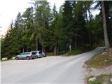 2
2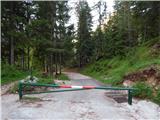 3
3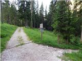 4
4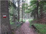 5
5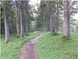 6
6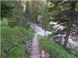 7
7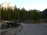 8
8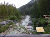 9
9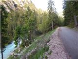 10
10 11
11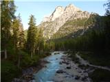 12
12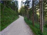 13
13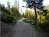 14
14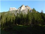 15
15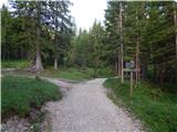 16
16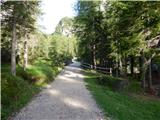 17
17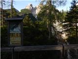 18
18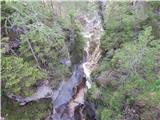 19
19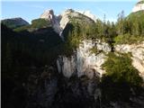 20
20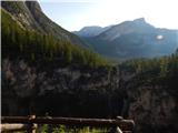 21
21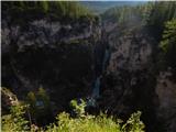 22
22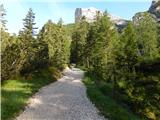 23
23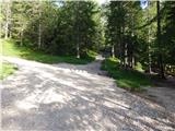 24
24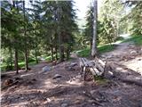 25
25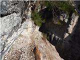 26
26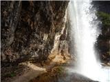 27
27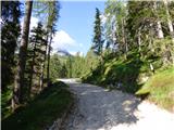 28
28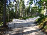 29
29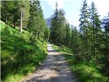 30
30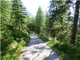 31
31 32
32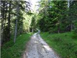 33
33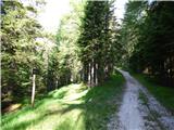 34
34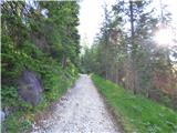 35
35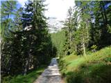 36
36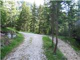 37
37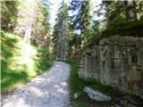 38
38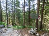 39
39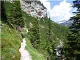 40
40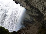 41
41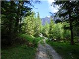 42
42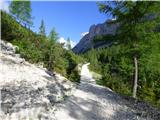 43
43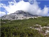 44
44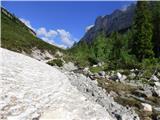 45
45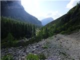 46
46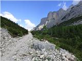 47
47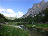 48
48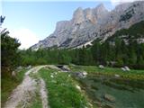 49
49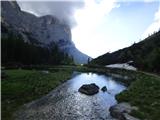 50
50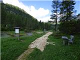 51
51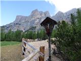 52
52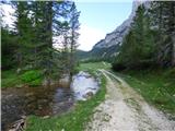 53
53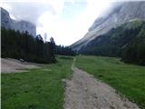 54
54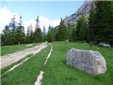 55
55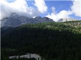 56
56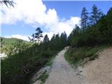 57
57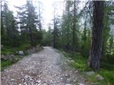 58
58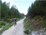 59
59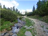 60
60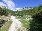 61
61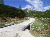 62
62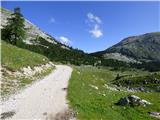 63
63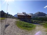 64
64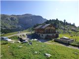 65
65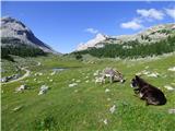 66
66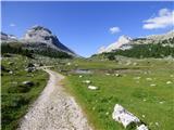 67
67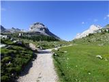 68
68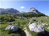 69
69 70
70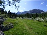 71
71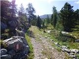 72
72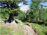 73
73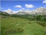 74
74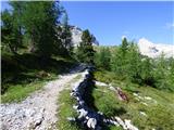 75
75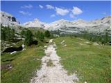 76
76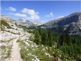 77
77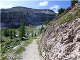 78
78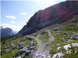 79
79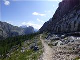 80
80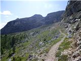 81
81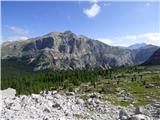 82
82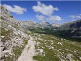 83
83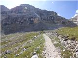 84
84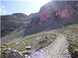 85
85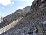 86
86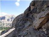 87
87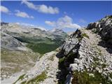 88
88 89
89 90
90 91
91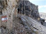 92
92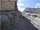 93
93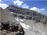 94
94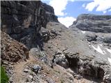 95
95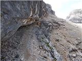 96
96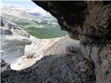 97
97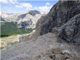 98
98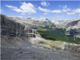 99
99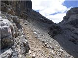 100
100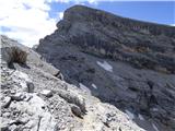 101
101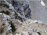 102
102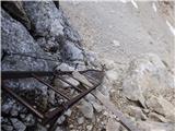 103
103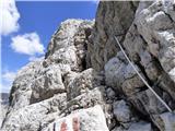 104
104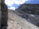 105
105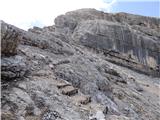 106
106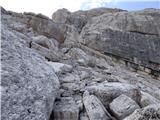 107
107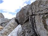 108
108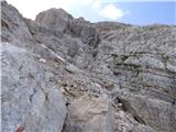 109
109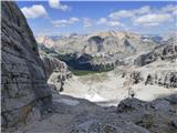 110
110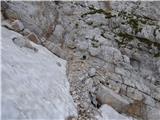 111
111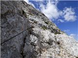 112
112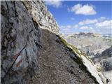 113
113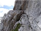 114
114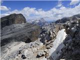 115
115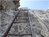 116
116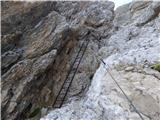 117
117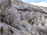 118
118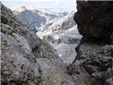 119
119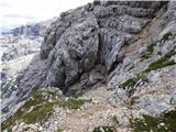 120
120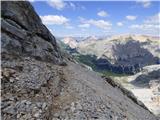 121
121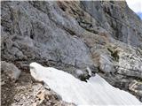 122
122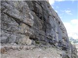 123
123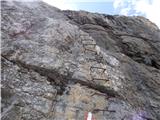 124
124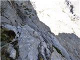 125
125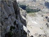 126
126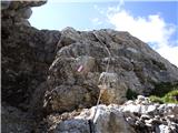 127
127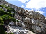 128
128 129
129 130
130 131
131 132
132 133
133 134
134 135
135 136
136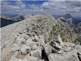 137
137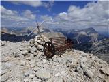 138
138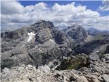 139
139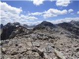 140
140 141
141 142
142