Seljanec - Ham (via Seljanečki potok)
Starting point: Seljanec (235 m)
| Latitude/Longitude: | 46,2076°N 16,2412°E |
| |
Route name: via Seljanečki potok
Walking time: 1 h 30 min
Difficulty: easy marked way
Elevation gain: 444 m
Elevation difference along the route: 444 m
Map:
Recommended equipment (summer):
Recommended equipment (winter):
Views: 2.826
 | 1 person like this post |
Access to starting point:
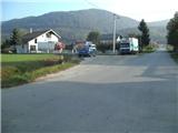
A) Over the border crossing Gruškovje we drive to Croatia and further we drive on the Croatian motorway, which we leave at the first exit. Further, we drive in the direction of Trakoščan and Ivanec. At the end of the settlement Ivanec we get to the village Ivanečko Naselje, where we leave the main road towards Varaždin and continue in the direction of Margečan (the main road towards Varaždin we leave only a few dozen meters before the railway underpass). Further, we drive through the village Salinovec, then we cross the bridge over Bednja and enter its gorge. When the gorge ends, we soon get to a crossroad, where we continue right into the village Margečan. When the village Margečan ends we get to the neighbouring village Seljanec, where we park on a small parking lot in Belska ulica (we park after the blue bridge or somewhere by the main road).
B) First, we drive to Varaždin, then we continue driving towards Zagreb. In the village Turčin we don't turn left towards the motorway, but first we continue straight through the village, then we turn right towards the settlement Ivanec. In the village Sveti Ilija we go left and drive to the next village Beletinec, from where we continue in the direction of Ivanovec. At the end of the village Završje we continue over the bridge across Bednja (yellow railing), then in the village Bela we notice a trail marker (arrow). The road then leads us by the renovated mansion Bela, after which we get to the village Seljanec.
Route description:
No matter where in Seljanec we've parked, we first return to the main road, from where we continue towards the east. When the settlement ends we continue right along Barunska ulica and at the end of it along the cart track into the forest, where we first cross Seljanečki potok, along which we then ascend approximately one third of the path. The cart track then quickly brings us to a junction, by which there is usually a lot of logs and sawdust. We continue forward along the gentle cart track, which further brings us to two successive crossings of the previously mentioned stream. Here we will notice by the path a feeding station for wild animals and a branch-off of the path to the right towards the climbing area Velika Zija.
We continue along the left path, which from the cart track quickly turns into a forest path, which then crosses the stream a few more times. Further, the path becomes steeper and ascends along and beside the gully of the several times mentioned Seljanečki potok. Above the place where we last cross the stream we step onto a usually quite muddy cart track, which a little further brings us to the next junction, where we continue right towards the summit of Ham (slightly left mountain hut Lujčekova Hiža na Pokojcu - 10 minutes). For some time we still continue along the gentle cart track, then we arrive at a meadow, from where we again continue right into the forest (at the edge of the forest there is a bench where we can rest). Here the path begins to ascend more steeply, and it quickly brings us to a junction, where we can go astray because the arrow is poorly drawn. We continue left, although it seems more logical to go right. When somewhat further we arrive at the next path fork, we continue uphill along an even steeper path, which then ascends along the southwestern slope of Ham. When the steepness eases we will step onto the abandoned pasture Velika Raven (formerly cattle were grazed on the pasture, today the pasture is abandoned and overgrown).
We continue along the marked cart track into the forest, which again becomes quite steep. Higher the markers from the cart track direct us onto a marked path, which temporarily flattens, then brings us to a steeper and partly rocky slope, where especially when wet there is a somewhat greater danger of slipping. When higher we arrive at the ridge of Ham the path flattens, and we in a minute or two of further walking arrive at the summit.
The summit is overgrown with forest, so for the view from the summit we must continue right to the nearby vantage point, from which a nice view opens onto Ivanščica, Ravna gora and Hamec, and with very good visibility Kamnik-Savinja Alps are also visible.

Photos:
 1
1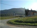 2
2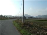 3
3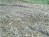 4
4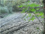 5
5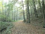 6
6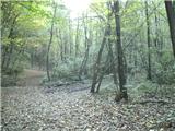 7
7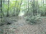 8
8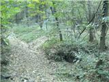 9
9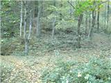 10
10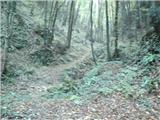 11
11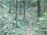 12
12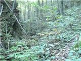 13
13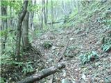 14
14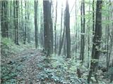 15
15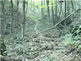 16
16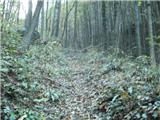 17
17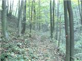 18
18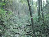 19
19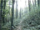 20
20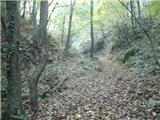 21
21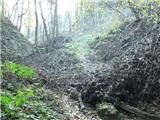 22
22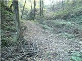 23
23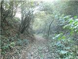 24
24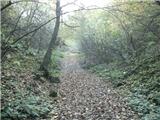 25
25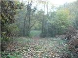 26
26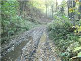 27
27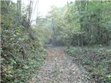 28
28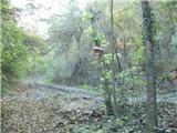 29
29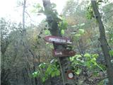 30
30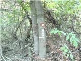 31
31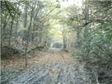 32
32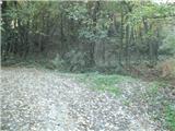 33
33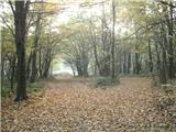 34
34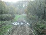 35
35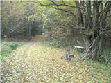 36
36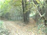 37
37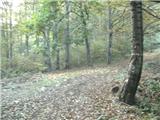 38
38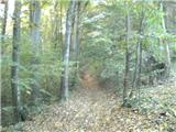 39
39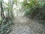 40
40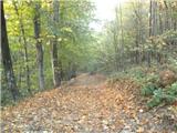 41
41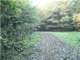 42
42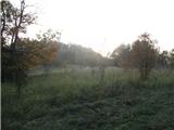 43
43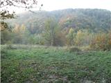 44
44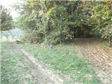 45
45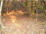 46
46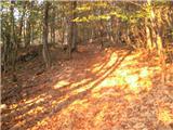 47
47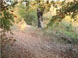 48
48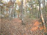 49
49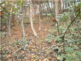 50
50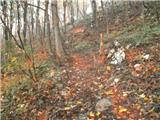 51
51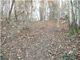 52
52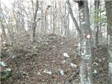 53
53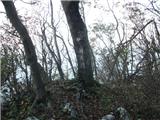 54
54 55
55
Discussion about the trip Seljanec - Ham (via Seljanečki potok)
|
| Marx7. 06. 2015 |
Was on this path today (07.06.). At the start there are some fallen trees, but only one is problematic. Almost no stream, but therefore the section from the last crossing of Seljanečki potok (Pic 28) to Frukov Krč meadow (Pic 36) is quite muddy despite the heat without rain.
Unfortunately, the viewpoint at the top is now overgrown with forest and there is no view anymore...
That path is currently the only official and marked path to Ham. For descent (and occasionally ascent) I use the unofficial northern variant. From the top go south and after a few minutes walking you reach a cart track. Now follow this cart track all the way to Seljanec. The problem is that at some places the ground is extremely demanding because the cart track is used for lowering trees into the valley and with mud and snow it is almost impassable.
|
|
|
To post a comment you must log in:
If you do not yet have a username, you must first
register.