Sella Nevea - Foronon del Buinz / Špik nad Nosom (via Forcella Lavinal dell Orso)
Starting point: Sella Nevea (1170 m)
Starting point Lat/Lon: 46.3908°N 13.4755°E 
Path name: via Forcella Lavinal dell Orso
Time of walking: 6 h
Difficulty: very difficult marked way
Ferrata: C
Difficulty of skiing: no data
Altitude difference: 1361 m
Altitude difference (by path): 1600 m
Map: Julijske Alpe - zahodni del 1:50.000
Access to starting point:
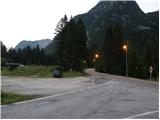
From Kranjska Gora over the border crossing Rateče we drive to Trbiž / Tarvisio. In Trbiž we continue left in the direction of Bovec and we follow the road to the crossroad near the lake Rabeljsko jezero. Here we continue right in the direction of Nevejski preval / Sella Nevea. This road which is mostly ascending we follow to the saddle, where we will on the right side of the road notice a smaller ski slope. We park on the macadam parking lot below the ski slope.
From Bovec, we drive to the border crossing Predel, from which we descend to italian side. Only a little after the lake Rabeljsko jezero we come to a crossroad, where we continue left in the direction of Nevejski preval / Sella Nevea. Further, follow the upper description.
Path description:
From the parking lot, we continue on the asphalt road (on the left side of the ski slope - ski track on the northern side of the main road), which on a saddle branches off from the main road. By the road, we will also notice a sign which marks the path 625 towards the mountain hut Corsi and detailed map. In a left turn we leave the road and go right on a poorly beaten footpath which brings us to a macadam road which is ascending on the right side of the ski slope. For some time we are then ascending on the road, and then blazes point us to the left in the forest. After a short ascent, we come to a crossroad, where we continue right on the path 625 and the path towards the mountain pasture Pecol and mountain hut Brazza branches off to the left. The path is then still ascending through the forest and few times crosses a mountain road and it brings us to a crossroad, where another path, which runs towards the mountain hut Brazza branches off to the left. The path then turns to the right and starts crossing slopes towards the east. We soon come out of the forest on grassy slopes and then follows an ascent towards the saddle Passo degli Scalini (2022m), and usually there are a lot of ibexes. From the saddle then follows a shorter descent, which again brings us to a crossroad. Here we leave the path which leads towards the mountain hut Corsi and we go left towards the notch Škrbina prednje Špranje on the path 626. The path is here for some time still ascending on a grassy slope and then it brings us into a valley below the steep slopes of Punta Plagnis on the left and Koštrunove špice on the right side. At the beginning of the valley path becomes a little less steep and then follows an ascent towards the notch Škrbina prednje Špranje, which we see in front of us all the time while we are walking through the valley.
On the notch where there is a crossing, we continue left on the path Ceria Merlone.
Here the path turns left towards the southwest and starts ascending on steep western slopes. Few times we steeply ascend and then follows crossing of exposed slopes towards the south. Next follows an ascent over 10 meters high ladder, and then the path soon brings us to a crossing. Left downwards leads the path towards the mountain pasture Krni dol, and we continue right and on an exposed ledge we bypass peak Špice in Planji / Punta Plagnis 2411 meters. Further, the path mostly crosses steep south slopes, and occasionally also ascends a little steeper by the steel cable. A gentle descent follows into a notch Forca de la Val (2352 meters).
From the notch, we continue left and at first, we slightly descend, and then we start very steeply ascending by the steel cable upwards. The steep ascent by the steel cable then brings us on a slightly crumbly gravel terrain on which we are for a short time ascending. The path then turns to the left and long time on ledges crosses slopes below Špik nad Špranjo / Modeon del Buinz (2554 meters). Such a path brings us on a little less steep ridge on the west side Špik nad Špranjo. Further, the path again avoids the ridge on the south side and then follows a shorter ascent to a panoramic summit Špik nad Nosom.
We can descend on the ascent route, or we continue on a path Ceria Merlone towards Špik Hude police and then we descend past the mountain hut Brazza.
On the way: Passo degli Scalini (2022m), Škrbina prednje Špranje (2138m), Forca de la Val (2352m)
Pictures:
 1
1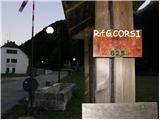 2
2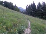 3
3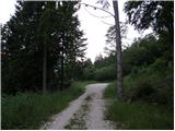 4
4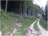 5
5 6
6 7
7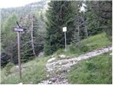 8
8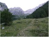 9
9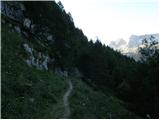 10
10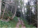 11
11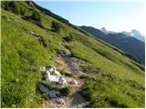 12
12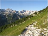 13
13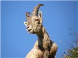 14
14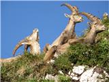 15
15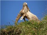 16
16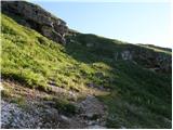 17
17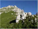 18
18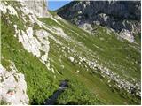 19
19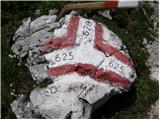 20
20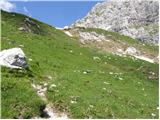 21
21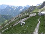 22
22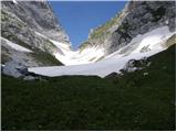 23
23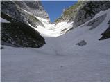 24
24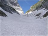 25
25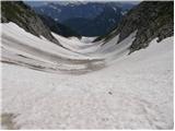 26
26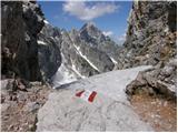 27
27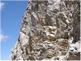 28
28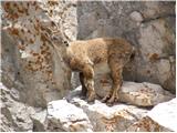 29
29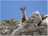 30
30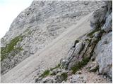 31
31 32
32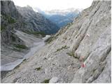 33
33 34
34 35
35 36
36 37
37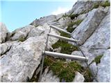 38
38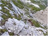 39
39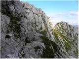 40
40 41
41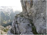 42
42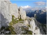 43
43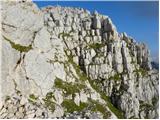 44
44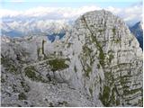 45
45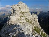 46
46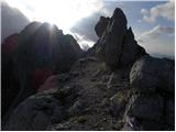 47
47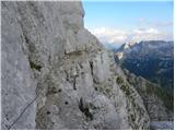 48
48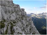 49
49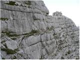 50
50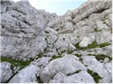 51
51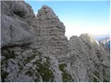 52
52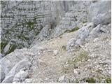 53
53 54
54 55
55 56
56 57
57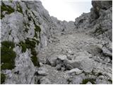 58
58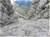 59
59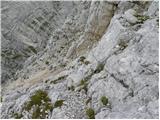 60
60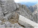 61
61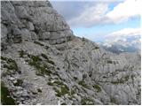 62
62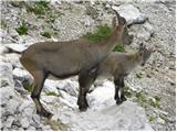 63
63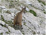 64
64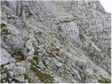 65
65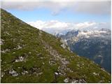 66
66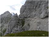 67
67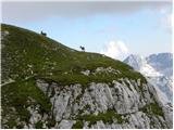 68
68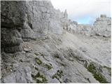 69
69 70
70 71
71 72
72 73
73 74
74 75
75 76
76 77
77 78
78