Sella Nevea - Monte Bila pec
Starting point: Sella Nevea (1170 m)
Starting point Lat/Lon: 46.3874°N 13.4734°E 
Time of walking: 2 h 45 min
Difficulty: difficult marked way
Difficulty of skiing: no data
Altitude difference: 976 m
Altitude difference (by path): 1000 m
Map: Jullijske Alpe - zahodni del 1:50.000
Access to starting point:
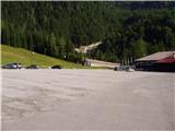
From Kranjska Gora via the border crossing at Rateče we drive to Trbiž / Tarvisio. In Trbiž we continue left in the direction of Bovec and follow the road to the crossroads near Rabeljsko jezero. Here we continue right in the direction of Nevejski preval / Sella Nevea. We follow this road, which is mostly ascending, to the large parking lot at the lower station of the cableway, which leads to the Gilberti hut.
From Bovec we drive to the border crossing at Predel, from which we descend to the Italian side. Just a little after Rabeljsko jezero we come to the crossroads, where we continue left in the direction of Nevejski preval / Sella Nevea. Thereafter, follow the above description.
Path description:
At the end of the parking lot we notice the sign for the mountain hut Gilberti, which directs us to the lower part of the ski slope. When we step onto the slope we continue left and after a shorter ascent we step onto the transport-rescue road, which ascends along the slope upwards. Along the relatively steep and closed-to-traffic road new views open up step by step, which are the most beautiful towards the nearby Bela peč and the Montaž group of mountains. The road higher up gets very close to the cliffs of Bela peč and then brings us to the upper station of the cableway at the mountain hut Gilberti.
From the hut we slightly descend (direction west) into a smaller valley, where there is a path junction. We continue right in the direction of S.Grubia on the path which runs between the main Kanin ridge on the left and Bela peč on the right. The path ahead first ascends gently through the valley, then starts to ascend more steeply and after a few minutes of ascent brings us to an old military fort on the saddle Bela peč.
On the saddle we continue right where the inscription on the rock “Bila” directs us. After a shorter steep ascent the path brings us to the west side of the ridge. Here we first cross a steep slope towards the north in a gentle ascent, then start to ascend steeply to the right. When we reach the ridge we continue left and after a shorter steep ascent on an unsecured path we soon reach the summit.
Pictures:
 1
1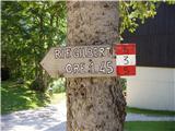 2
2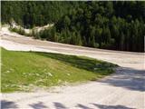 3
3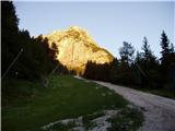 4
4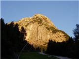 5
5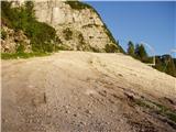 6
6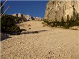 7
7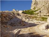 8
8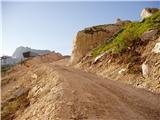 9
9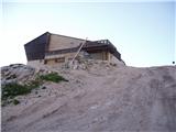 10
10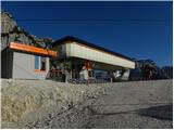 11
11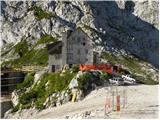 12
12 13
13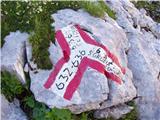 14
14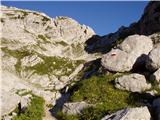 15
15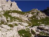 16
16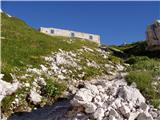 17
17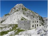 18
18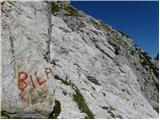 19
19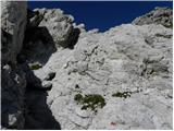 20
20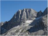 21
21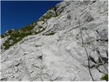 22
22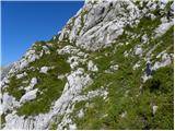 23
23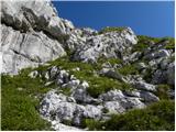 24
24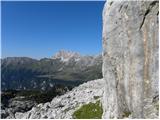 25
25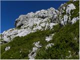 26
26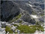 27
27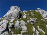 28
28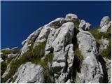 29
29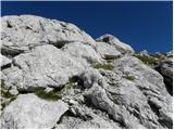 30
30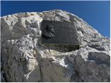 31
31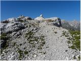 32
32