Selnica ob Dravi - Kranjčeva pečina
Starting point: Selnica ob Dravi (315 m)
Starting point Lat/Lon: 46.55191°N 15.49326°E 
Time of walking: 2 h 10 min
Difficulty: easy marked way
Difficulty of skiing: no data
Altitude difference: 645 m
Altitude difference (by path): 680 m
Map: Pohorje 1:50.000
Access to starting point:
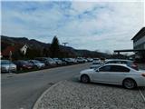
From Maribor or Dravograd we drive to Selnica ob Dravi, where by the main road near the primary school Selnica ob Dravi the described path begins. We park a few minutes away at one of the designated parking spaces in the settlement.
Path description:
Before the primary school we notice signs for the path Aljaževa pot, which leads towards Sveti Duh on Ostri Vrh, directing us onto a side road that bypasses the school on the left. At first, we walk on a sidewalk, then along the edge of a local road. When we reach a smaller crossroad, we continue straight on the road, where the blazes continue and signs for a tourist learning path are present. Next follows a steeper ascent, initially past houses, then higher through the forest. When we reach an indistinct ridge, we continue right (sharply left is the church of St. John the Baptist on Janževa Gora), and at the nearby crossing of asphalt roads, we go slightly right. The path ahead leads us past a cross, then we ascend with occasional views past individual houses. Higher up, we reach a fenced area, where we go left (here the path sometimes led right) and continue ascending on a narrower, quite steep asphalt road. Higher up, we reach the edge of the forest, where the asphalt ends, and we continue sharply right. Next follows some traversing to the right, which we do in a gentle ascent; when we reach the Katržan homestead, we go left across the yard and ascend between the house and the outbuilding. Above the house, the path enters the forest and begins ascending on a forest logging trail. A few minutes higher, we reach a forested ridge, on and along which we continue the ascent. Further on, there are a few smaller crossings where we follow the blazes; for some time, signs for the trail Lovska naravoslovna učna pot LD Boč na Kozjaku are also along the path, but these end soon after a hunting observatory, where a visitor book is located.
We continue to follow the blazes, and the path gradually shifts from the ridge to the right, eastern side of Janžev vrh. Here, the cart track begins to widen, but we leave it before reaching the nearby homestead and continue slightly left on a footpath that bypasses an older house on the left, then joins a rough road, which we follow to the left. On panoramic saddle a beautiful view opens up, which reaches all the way to Peca.
On the other side of the saddle, the path returns into the forest, and we continue straight on a footpath which ascends between two roads. Next follows a short ascent on and along the forested ridge; when the ridge flattens, a short path branches off to the left to a panoramic cliff, from which a beautiful view opens up.
We continue towards the north and gradually start to descend lightly. Lower down, we reach a cart track, and we continue slightly to the right, gently to moderately ascending on a wider cart track. A little further, blazes guide us onto a footpath which ascends more steeply and bypasses cliff Kranjčeva pečina on the lower left side. A few minutes higher, when we reach the edge of the pasture, we leave the path towards Sveti Duh na Ostrem Vrhu and go right in the direction of Kranjčeva pečina, which we reach after a minute of additional walking. The ascent to the very peak of the cliff is slightly exposed and, especially in wet conditions, dangerous for slipping.
The description and pictures refer to the condition in March 2024.
Pictures:
 1
1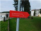 2
2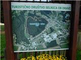 3
3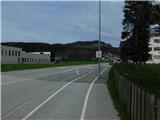 4
4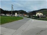 5
5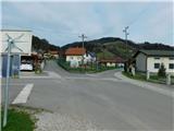 6
6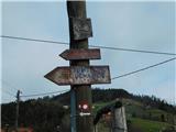 7
7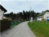 8
8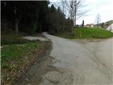 9
9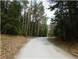 10
10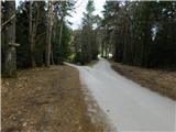 11
11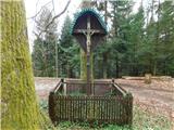 12
12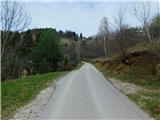 13
13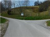 14
14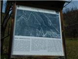 15
15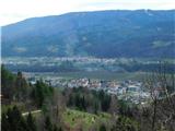 16
16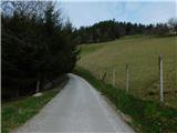 17
17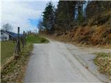 18
18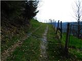 19
19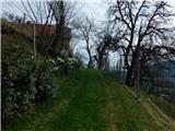 20
20 21
21 22
22 23
23 24
24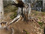 25
25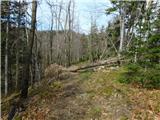 26
26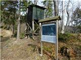 27
27 28
28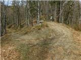 29
29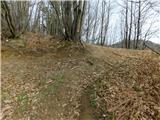 30
30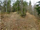 31
31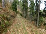 32
32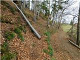 33
33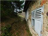 34
34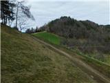 35
35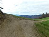 36
36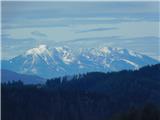 37
37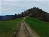 38
38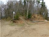 39
39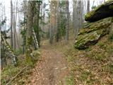 40
40 41
41 42
42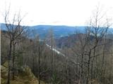 43
43 44
44 45
45 46
46 47
47 48
48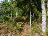 49
49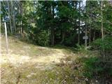 50
50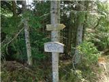 51
51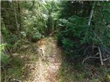 52
52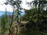 53
53 54
54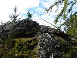 55
55 56
56