Starting point: Selo (710 m)
Starting point Lat/Lon: 46.1017°N 14.296°E 
Time of walking: 1 h
Difficulty: easy marked way
Difficulty of skiing: easily
Altitude difference: 311 m
Altitude difference (by path): 315 m
Map: Ljubljana - okolica 1:50.000
Access to starting point:
From Horjul or Dobrova we drive to Polhov Gradec, and then we continue driving towards Črni vrh. A little above Polhov Gradec, at the crossroad at the confluence of the rivers Mala and Velika Božna, we continue straight in the direction of Selo and Škofja Loka (left Črni Vrh). Further, we drive by the stream Mala Božna, and after a time we continue right in the direction of village Selo (second turn-off to the right from the spot, when we left the road which leads on Črni Vrh). Further, we drive on a quite steep road which higher flattens, and after a short descent brings us to Selo. Here we continue right (straight St. Ožbolt) and we follow the road only a good 100 meters to the parking lot by the chapel.
Access is also possible from Škofja Loka side.
Path description:
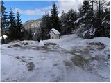
From the parking lot by the chapel we go on the road by which we notice signs for Tošč and church of St. Jedert. The road which is barely ascending quickly brings us out of the forest, where in front of us, we notice the church of St. Jedert, which we reach after few minutes of additional walking.
From St. Jedert we continue left, at first through a panoramic grassy meadow, which ends by a lane of thin forest. We continue the ascent on easy to follow path, which for some time is still ascending by the edge of even steeper grassy meadows, and then it passes into a dense forest, where gradually flattens. Higher, the path turns a little towards the right and gradually passes on northwestern forested ridge of Tošč. The path ahead in a moderate ascent crosses some panoramic slopes, and then it starts ascending steeper. This in the last part a little more steep path, we then follow all the way to the top of Tošč, which we reach after few minutes of additional walking.
Pictures:
 1
1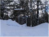 2
2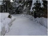 3
3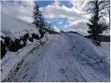 4
4 5
5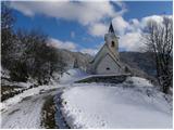 6
6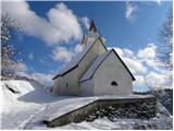 7
7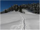 8
8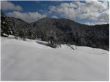 9
9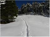 10
10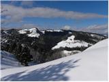 11
11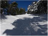 12
12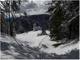 13
13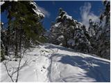 14
14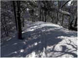 15
15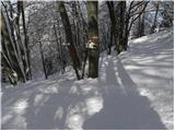 16
16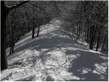 17
17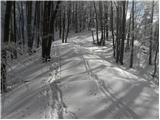 18
18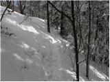 19
19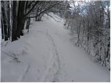 20
20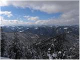 21
21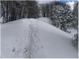 22
22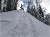 23
23 24
24 25
25