Senožeti - Cicelj (hunting path)
Starting point: Senožeti (275 m)
Starting point Lat/Lon: 46.0905°N 14.7336°E 
Path name: hunting path
Time of walking: 1 h 30 min
Difficulty: easy marked way
Difficulty of skiing: no data
Altitude difference: 561 m
Altitude difference (by path): 570 m
Map:
Access to starting point:
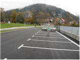
A) From highway Ljubljana - Celje we go to the exit Šentjakob and follow the road ahead towards Litija. Few kilometers after Dolsko road brings us to the roundabout, where we go towards the village Senožeti. The road then immediately brings us in the village, where at the crossroad we turn right and drive for approximately 100 meters to a larger parking lot near the school fields.
B) From Litija we drive towards Ljubljana but only to a roundabout, where signs point us towards the village Senožeti. The road then immediately brings us in the village, where at the crossroad we turn right and drive for approximately 100 meters to a larger parking lot near the school fields.
Path description:
From the parking lot, we continue on the road which over the stream brings us to a crossroad at which we continue left. The road then already after few meters brings us to the next crossroad, where blazes point us to the left, on a footpath which continues left from the chapel. We walk on the footpath for a short time because already after few meters, we return on the road. We continue walking on the road few minutes, and then signs for Miklavž point us to the left, steeply upwards. We further follow the path which is ascending through the forest and a little higher brings us to a larger clearing, behind which we join the road. The road then brings us to a crossroad in Velika vas, where we continue left in the direction of Križevska vas (right - Sveti Miklavž). The dense part of the settlement quickly ends, and further we are ascending diagonally towards the left. With nice views we reach a small saddle, where on the left we notice a hunting observatory, and on the right the beginning of the hunting path on Cicelj.
We continue right into the forest on a path in the direction of Cicelj. After few 10 strides we go slightly left (right - Velika vas) and we continue the ascent on an increasingly steep path. After few minutes, we reach the cart track which we follow to the left (right we return into Velika vas), and from there we soon go right on a steep path. Further, we are for some time steeply ascending on a steep slope, and then the path flattens and brings us on the ridge of Cicelj, where we join a better beaten path.
We continue right and after a minute of additional walking, we step on the summit of Cicelj, where there are bench and an inscription box with an inscription book and a stamp.
Senožeti - Velika vas 40 minutes, Velika vas - Cicelj 50 minutes.
On the way: Velika vas (510m)
Pictures:
 1
1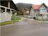 2
2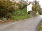 3
3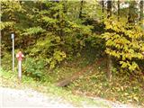 4
4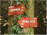 5
5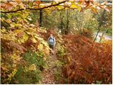 6
6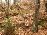 7
7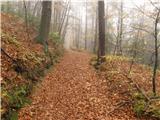 8
8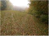 9
9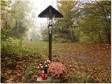 10
10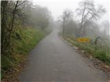 11
11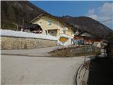 12
12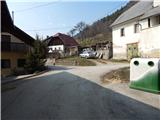 13
13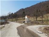 14
14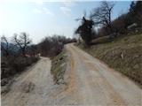 15
15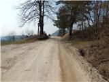 16
16 17
17 18
18 19
19 20
20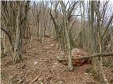 21
21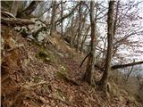 22
22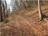 23
23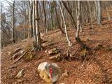 24
24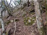 25
25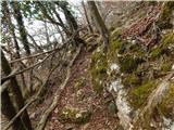 26
26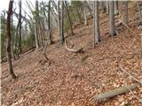 27
27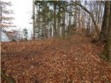 28
28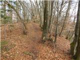 29
29 30
30