Šentilj v Slovenskih goricah - Gradišče Novine
Starting point: Šentilj v Slovenskih goricah (292 m)
| Latitude/Longitude: | 46,68318°N 15,65078°E |
| |
Walking time: 45 min
Difficulty: easy marked way
Elevation gain: 54 m
Elevation difference along the route: 80 m
Map:
Recommended equipment (summer):
Recommended equipment (winter): ice axe, crampons
Views: 177
 | 1 person like this post |
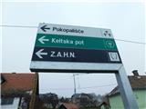
Access to starting point:
We leave the Maribor - Graz highway at the Šentilj exit, then at the intersection in Šentilj we continue straight towards Sladki Vrh, then we go immediately left towards the cemetery, where we park.
Route description:
From the parking lot at the cemetery we return to the eastern side of the highway, then we continue sharply left onto the path that continues parallel with the highway. We continue for a few minutes along the highway, at first still on the asphalt road, later on the cart track. When the red hiking signposts direct us to the right we leave the cart track and continue on the path that takes us into the forest. Soon we approach the local road, below which we ascend for some time. Higher we reach the macadam road, which we follow to the left for a few steps, then the blazes direct us to the left onto the forest cart track, which soon changes into a path. Next follows the crossing of the high-voltage power line route, then we return into the forest. Through the forest we first continue without major changes in altitude, then we descend to the macadam road. We continue slightly to the left and with the path continue on the macadam road, which increasingly changes into a cart track. A few more minutes of walking through the forest follow and we arrive at the Gradišče Novine registration box.
Description and pictures refer to the condition in December 2022.

Photos:
 1
1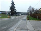 2
2 3
3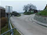 4
4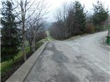 5
5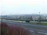 6
6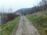 7
7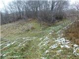 8
8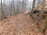 9
9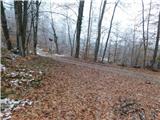 10
10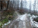 11
11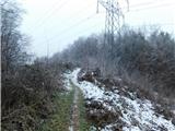 12
12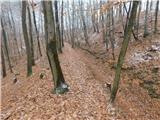 13
13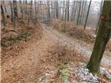 14
14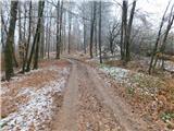 15
15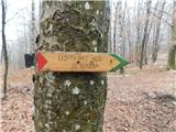 16
16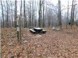 17
17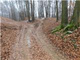 18
18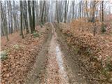 19
19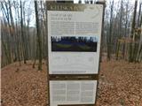 20
20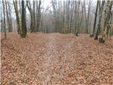 21
21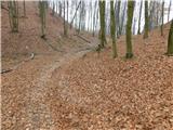 22
22 23
23
Discussion about the trip Šentilj v Slovenskih goricah - Gradišče Novine
To post a comment you must log in:
If you do not yet have a username, you must first
register.