Starting point: Skadanščina (550 m)
Starting point Lat/Lon: 45.5468°N 14.0119°E 
Time of walking: 1 h 40 min
Difficulty: easy marked way
Difficulty of skiing: no data
Altitude difference: 478 m
Altitude difference (by path): 500 m
Map: Slovenska Istra - Čičarija, Brkini in Kras 1:50.000
Access to starting point:
We leave the Primorska highway at the Kozina exit, and then follow the road towards Ilirska Bistrica and Reka. After the settlement of Materija, we stay alert, as the road soon branches off to the right towards Skadanščina. We continue on this road, following it to a marked parking lot located shortly before the settlement of Skadanščina.
Path description:
From the parking lot, we head onto a marked footpath toward Skadanščina and Slavnik, which ascends through a strip of forest, and when the forest ends, we quickly reach the church of St. Rok, located on the outskirts of the settlement Skadanščina.
We bypass the church on the right side, then begin descending through the village, following the trail markers. Lower, we reach a marked crossroads in the middle of the village, and we choose the road with signs for Slavnik SPP, Mala Vrata, and Plešivec (to the right, Jegno pasture). The road after the village loses an asphalt covering and after few minutes of walking splits into two parts. We continue on the right upper road towards Slavnik (the left road leads towards Mala Vrata), and it gradually enters the forest and slowly turns into a cart track. We continue the ascent on a gentle cart track, and it leads us past numerous and well-marked crossings. A little higher, the cart track entirely flattens, and then it gradually starts ascending steeper. A moderately steep cart track, higher crosses a forest road and then gradually starts changing into a wide and easy to follow footpath. The path ahead brings us to the information board, which marks the beginning of natural monument Slavnik, and only few steps further it comes out of the forest on panoramic grassy slopes. Here the path turns slightly towards the right and after approximately 10 minutes of additional walking brings us to the summit of Slavnik.
The starting point - Sveti Rok 0:05; Sveti Rok - Slavnik 1:35.
Pictures:
 1
1 2
2 3
3 4
4 5
5 6
6 7
7 8
8 9
9 10
10 11
11 12
12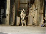 13
13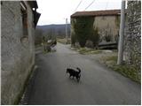 14
14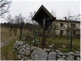 15
15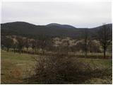 16
16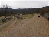 17
17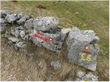 18
18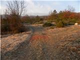 19
19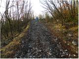 20
20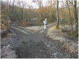 21
21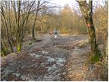 22
22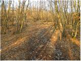 23
23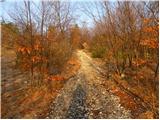 24
24 25
25 26
26 27
27 28
28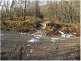 29
29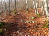 30
30 31
31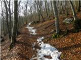 32
32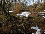 33
33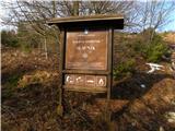 34
34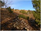 35
35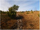 36
36 37
37 38
38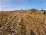 39
39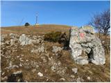 40
40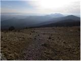 41
41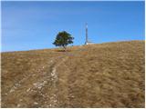 42
42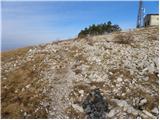 43
43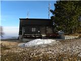 44
44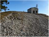 45
45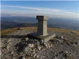 46
46 47
47