Skadanščina - Slavnik (via Planina Jegno)
Starting point: Skadanščina (550 m)
Starting point Lat/Lon: 45.54791°N 14.01324°E 
Path name: via Planina Jegno
Time of walking: 2 h 10 min
Difficulty: easy marked way
Difficulty of skiing: no data
Altitude difference: 478 m
Altitude difference (by path): 535 m
Map: Slovenska Istra - Čičarija, Brkini in Kras 1:50.000
Access to starting point:
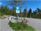
We leave the Primorska highway at the Kozina exit, and then follow the road towards Ilirska Bistrica and Reka. After the settlement of Materija, we stay alert, as the road soon branches off to the right towards Skadanščina. We continue on this road, following it to a marked parking lot located shortly before the settlement of Skadanščina.
Path description:
From the parking lot, we head onto a marked footpath toward Skadanščina and Slavnik, which ascends through a strip of forest, and when the forest ends, we quickly reach the church of St. Rok, located on the outskirts of the settlement Skadanščina.
We bypass the church on the right side, then begin descending through the village, following the trail markers. Lower down, we reach a marked crossroad in the center of the village, choose the right path, and soon leave the settlement area. The path ahead leads us along a gravel road, which quickly brings us to a small triangular crossroad. At this crossroad, we continue straight, proceeding uphill on a rougher gravel road that leads to a larger turning area. We continue on a wide cart track which at first moderately descends, and then it continues without large changes in altitude. After approximately half an hour of walking, we get to a bigger watering place for animals, where we also step on a macadam road. We follow the mentioned road to the left (right Povžane), and it soon turns slightly to the right and then ascends diagonally towards the west. After a few minutes of ascent on the road, we will notice signs on a tree, which direct us to the left onto a footpath (at the crossing, there is also a metal pole with signposts, but not for all directions), and if we continue straight, we will reach the Jegno mountain pasture (the ascent to Slavnik is also possible via the mentioned mountain pasture).
The path ahead ascends on a footpath, and then again joins the forest road. The road, along which we notice some blazes, we follow slightly upwards, walking along it for only a few minutes, and then the blazes direct us to the left onto a pleasant footpath. Follows few minutes of easy walking on partly grassy slopes, and then we cross a little wider cart track. We continue on a poorly visible path, by which we notice numerous blurred blazes (few blazes are still there). The path ahead gradually starts ascending steeper, and higher brings us to a forest road. We follow the road to the right, but we walk there only few steps, and then poorly visible blazes point us to the left on an ascending footpath. The path ahead at first steeply ascends, and then turns to the left, where it flattens a little. Then follows few minutes of a diagonal ascent towards the left and then the path comes out of the forest on a grassy slope, on which we in few minutes ascend to the road which leads on Slavnik. When we step on the road, we continue to the left, and in front of us, we already notice the peak of Slavnik, to which we can ascend on the already mentioned road, or on a little shorter footpath.
The starting point - Sveti Rok 0:05, Sveti Rok - Slavnik 2:05.
Pictures:
 1
1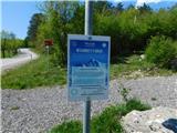 2
2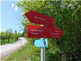 3
3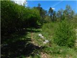 4
4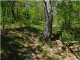 5
5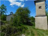 6
6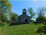 7
7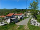 8
8 9
9 10
10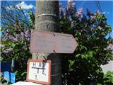 11
11 12
12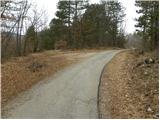 13
13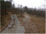 14
14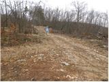 15
15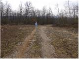 16
16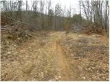 17
17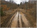 18
18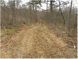 19
19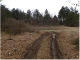 20
20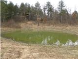 21
21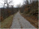 22
22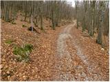 23
23 24
24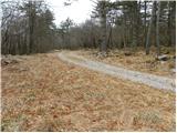 25
25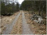 26
26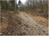 27
27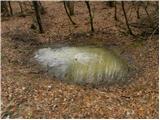 28
28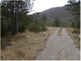 29
29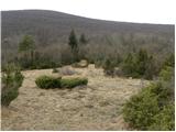 30
30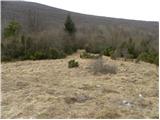 31
31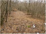 32
32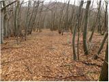 33
33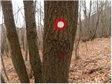 34
34 35
35 36
36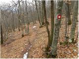 37
37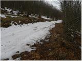 38
38 39
39 40
40 41
41 42
42 43
43 44
44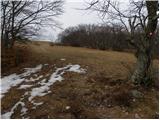 45
45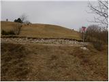 46
46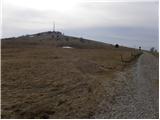 47
47 48
48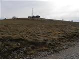 49
49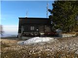 50
50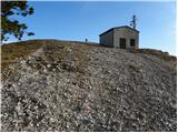 51
51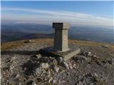 52
52 53
53