Škalske Cirkovce - Smodivnik
Starting point: Škalske Cirkovce (615 m)
Starting point Lat/Lon: 46.3955°N 15.1364°E 
Time of walking: 45 min
Difficulty: easy unmarked way
Difficulty of skiing: no data
Altitude difference: 308 m
Altitude difference (by path): 320 m
Map: Šaleška dolina z okolico 1:50000
Access to starting point:
From the Ljubljana - Maribor highway, take the Žalec exit, then continue driving in the direction of Velenje. In the main roundabout (2nd roundabout) in Velenje, below the ski jumping hill, continue straight (2nd exit) in the direction of Šoštanj - Mozirje. Then at the traffic-light intersection turn right. Drive straight, over the railway track, uphill to the next roundabout. Take the 3rd exit in the direction of the town stadium. The next roundabout follows, in which take the 1st exit in the direction of Škale - Graška gora.
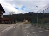
Drive past Škale Lake to the settlement Škale. An intersection follows, in which turn right towards Cirkovce. Drive through the settlement Hrastovec to Škalske Cirkovce. At the church of St. Ožbolt turn right and park by the sports field.
Path description:
From the parking lot at the sports field we go up the road ahead. Soon we come to the turn-off for Graška gora. We turn right. We walk along the road to the turn-off for Huda luknja. We turn right again. After 200 m we leave the road and turn right onto a forest cart track.
We follow the path. When we come past the chapel, a wide ridge begins, which brings us to the top.
Pictures:
 1
1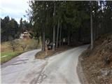 2
2 3
3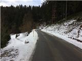 4
4 5
5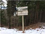 6
6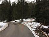 7
7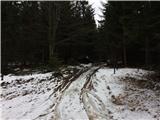 8
8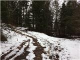 9
9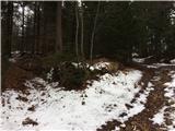 10
10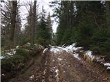 11
11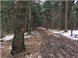 12
12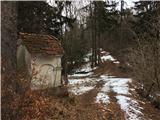 13
13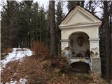 14
14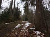 15
15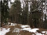 16
16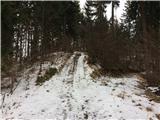 17
17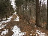 18
18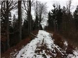 19
19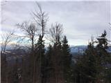 20
20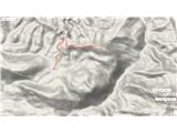 21
21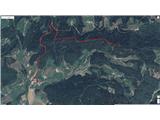 22
22