Škalske Cirkovce - Stropnica
Starting point: Škalske Cirkovce (615 m)
Starting point Lat/Lon: 46.39553°N 15.13639°E 
Time of walking: 1 h
Difficulty: easy marked way
Difficulty of skiing: no data
Altitude difference: 265 m
Altitude difference (by path): 325 m
Map: Šaleška dolina z okolico 1:50000
Access to starting point:
From highway Ljubljana - Maribor we go to the exit Žalec. We continue driving in the direction of Velenje.
In the main roundabout (2nd roundabout) in Velenje, below the ski jumping hill, we continue straight (2nd exit) in the direction of Šoštanj - Mozirje.
Then at the traffic light crossroad we turn right. We drive straight, over the railway track, uphill to the next roundabout.
We choose 3rd exit in the direction of the town stadium. Follows next roundabout, in which we choose 1st exit in the direction of Škale - Graška gora.
We drive past Lake Škale to the settlement Škale. Next follows a crossroad, in which we turn right towards Cirkovce.
We drive through the settlement Hrastovec to Škalske Cirkovce. At the church of St. Ožbolt we turn right and we park by the sports field.
Path description:
From the parking lot at the sports field, we go right past the succursal school Cirkovce and descend on a narrower paved path to the road.
Next follows a crossroad, where we continue straight (the right leads the road to Šenbric). We walk on the road, at all subsequent crossroads sticking to the far-right path.
The road brings us to a homestead situated on the saddle between Smodivnik and Stropnica.
At the homestead, we go right past the building. We continue on the road, which a little higher leads into the forest.
After approximately 500 meters from the homestead, we pay attention to a turn-off to the left. We leave the road and continue on a clearly visible footpath steeply upwards through the forest.
We reach a cottage, which we bypass on the left side. At the beginning, the path leads slightly downwards, but further along the steep path upwards, we quickly gain altitude.
We carefully follow the yellow "sun" signs. At some crossings, the path turns entirely in another direction.
When we overcome the steepest part of the path, we pass a larger cairn. From here, it is only 200 meters, and we reach the top of Stropnica.
Pictures:
 1
1 2
2 3
3 4
4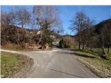 5
5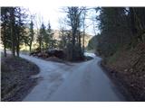 6
6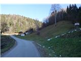 7
7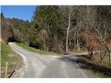 8
8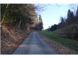 9
9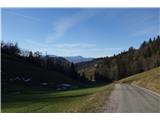 10
10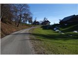 11
11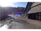 12
12 13
13 14
14 15
15 16
16 17
17 18
18 19
19 20
20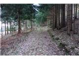 21
21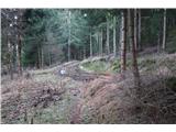 22
22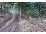 23
23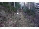 24
24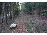 25
25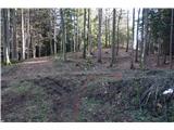 26
26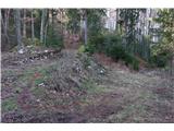 27
27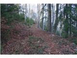 28
28 29
29 30
30 31
31 32
32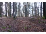 33
33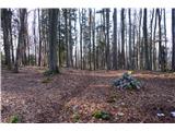 34
34 35
35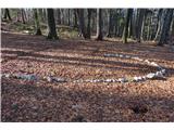 36
36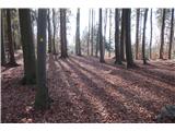 37
37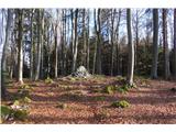 38
38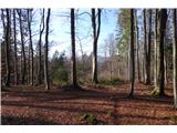 39
39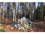 40
40 41
41