Slovenska vas - Sveta Trojica
Starting point: Slovenska vas (567 m)
Starting point Lat/Lon: 45.7011°N 14.2114°E 
Time of walking: 2 h 15 min
Difficulty: easy marked way
Difficulty of skiing: no data
Altitude difference: 539 m
Altitude difference (by path): 600 m
Map: Snežnik 1:50.000
Access to starting point:
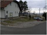
From highway Ljubljana - Koper we go to the exit Postojna, and then we continue driving in the direction of Pivka and Ilirska Bistrica. When we come in the village Petelinje, we leave the main road and we continue left in the direction of Slovenska vas. On a little narrower road we quickly get to the mentioned village, where we park at Beekeeping education center Slovenska vas (Čebelarsko izobraževalno središče Slovenska vas).
Path description:
At the starting point, we notice signs for lake Petelinjsko jezero and Sveta Trojica, which point us to the right on a gradually bad macadam road. The road at first slightly ascends, and then starts lightly descending. After few minutes of a descent, we get to a smaller crossroad, where signs for Sveta Trojica point us sharply to the left. We still continue on the macadam road which leads through ample meadows, on which we can observe numerous pines and juniper plants. And a little further we come to a crossing, where a marked footpath branches off to the right on Sveta Trojica (and straight the road continues towards the lake Petelinjsko jezero - 2 minutes).
We continue in the direction of Sveta Trojica and we go on a footpath which continues through a dense lane of bushes. The path then brings us out of the forest, where it turns to the left and for a short time continues along the grazing fence. Few 10 meters further we get to a gate, through which we continue. Ahead we are for some time gently ascending through an ample pasture, and then the path gradually starts ascending steeper on panoramic grazing slopes. When we higher leave the pasture, we continue left at first on a cart track, and then on a macadam road. Further, we for some time walk on the road, and we follow it to a smaller crossroad, where a worse forest road branches off to the right, on which also blazes point us to. Higher, the road gradually changes into a cart track which leads through a thin pine forest surrounded with numerous bushes of juniper plants. A gently sloping cart track eventually changes into a pleasant footpath, and it soon brings us to a forest road which we only cross. We continue in the direction of Sveta Trojica and we go through the forest, which higher gets thinner. Because the path in this part has quite a few crossings, we carefully follow the blazes. The path then entirely flattens and brings us on a larger meadow, in the middle of which stands a hunting observatory.
Here from the left joins the path from a higher starting point, and we continue slightly right in the direction of the summit, to which separates us 45 minutes of walking.
The path ahead continues on a cart track, and through some unmarked crossings it brings us to the spot, where from the right side joins the path from Vlačno. We continue on a partly rocky cart track which higher crosses another forest road. A little further, the cart track changes into a moderately steep footpath which quickly brings us out of the forest on the upper grassy slope of the mountain. Here the path turns slightly to the left and with increasingly beautiful views on basin Pivška kotlina and surrounding hills quickly brings us to the summit, in the middle of which stands renovated church of the Holy Trinity.
Pictures:
 1
1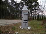 2
2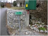 3
3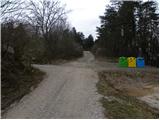 4
4 5
5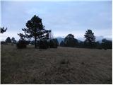 6
6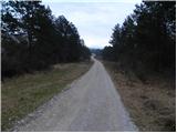 7
7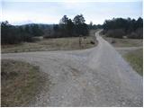 8
8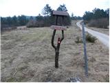 9
9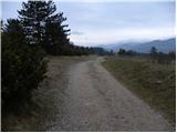 10
10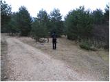 11
11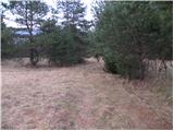 12
12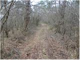 13
13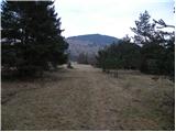 14
14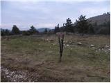 15
15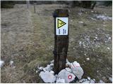 16
16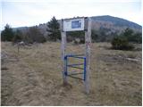 17
17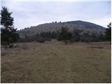 18
18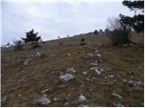 19
19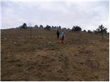 20
20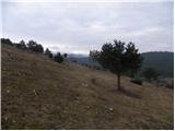 21
21 22
22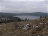 23
23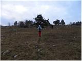 24
24 25
25 26
26 27
27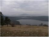 28
28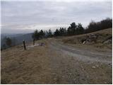 29
29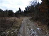 30
30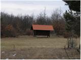 31
31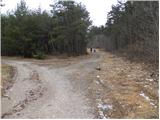 32
32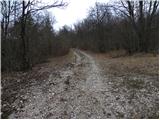 33
33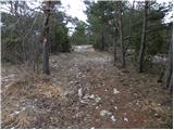 34
34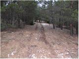 35
35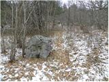 36
36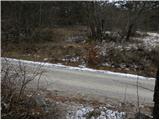 37
37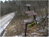 38
38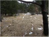 39
39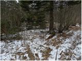 40
40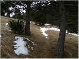 41
41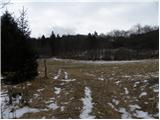 42
42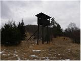 43
43 44
44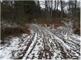 45
45 46
46 47
47 48
48 49
49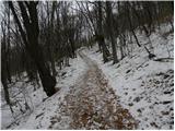 50
50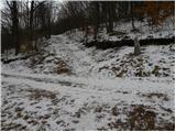 51
51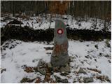 52
52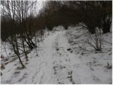 53
53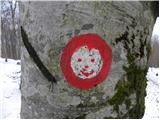 54
54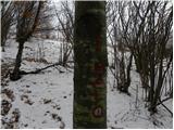 55
55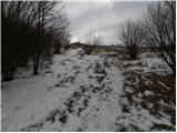 56
56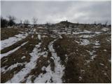 57
57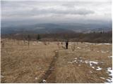 58
58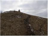 59
59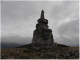 60
60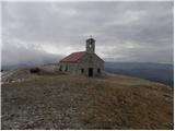 61
61 62
62