Slovenske Konjice - Skala (gentle path)
Starting point: Slovenske Konjice (333 m)
Starting point Lat/Lon: 46.3372°N 15.4204°E 
Path name: gentle path
Time of walking: 1 h 30 min
Difficulty: easy marked way
Difficulty of skiing: partly demanding
Altitude difference: 417 m
Altitude difference (by path): 450 m
Map:
Access to starting point:
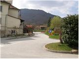
From highway Ljubljana - Maribor we go to the exit Slovenske Konjice and we follow the road to the mentioned town. In the center of Slovenske Konjice, we leave the main road (we continue left) and we go towards the church, near of which we park on a large marked parking lot.
Path description:
From the parking lot at the church, we continue on a sidewalk (towards the west), which after few ten meters brings us to the school, where we notice signposts for Stolpnik. We continue left on a sidewalk, which is slightly ascending and after a short ascent, it brings us to mountain signposts right next to the cemetery.
Here we continue straight in the direction of the castle Stari grad on the path which leads us on the left side of the cemetery. On the top of the cemetery, we leave the road and we continue the ascent on a marked footpath which steeply ascends. After few minutes of the ascent, the steepness decreases and the path brings us out of the forest on a macadam road which we only cross (right - castle Konjice 5 minutes). A wide cart track on which we walk, in few steps brings us to a crossing of paths, where a trail blaze points us left upwards. And after few ten strides the situation is repeated, the difference is that we don't continue on a cart track but on a footpath which is ascending through the forest. Higher, the path brings us to the next road, where we continue left on a footpath in the direction of Skala. After a shorter further ascent, the path crosses the recently mentioned road. The path which is further ascending diagonally quickly brings us to the next crossing, where we have two options to continue. We choose the right easier (left - very demanding climbing path), which after additional few minutes of a diagonal ascent with the help of steel cables (undemanding) quickly brings us to the vantage point Skala.
Pictures:
 1
1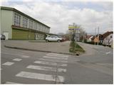 2
2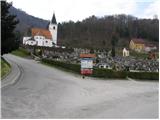 3
3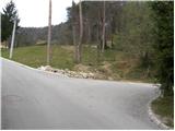 4
4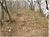 5
5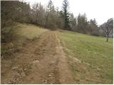 6
6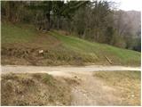 7
7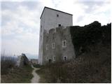 8
8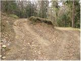 9
9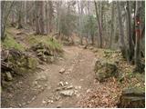 10
10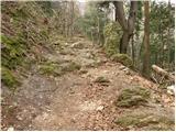 11
11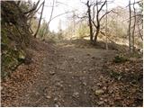 12
12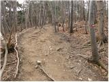 13
13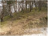 14
14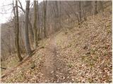 15
15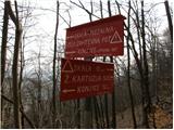 16
16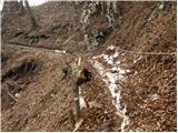 17
17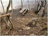 18
18 19
19