Šmartno - Šmarna gora (path around Šmarna gora)
Starting point: Šmartno (317 m)
Starting point Lat/Lon: 46.1245°N 14.4798°E 
Path name: path around Šmarna gora
Time of walking: 1 h 30 min
Difficulty: easy marked way
Difficulty of skiing: no data
Altitude difference: 352 m
Altitude difference (by path): 360 m
Map: Ljubljana - okolica 1:50.000
Access to starting point:
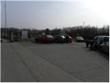
From highway Ljubljana - Jesenice we go to the exit Šmartno, and then at the beginning of the settlement Šmartno we drive towards the nearby cemetery, by which it is possible to park.
Path description:
From the parking lot by the cemetery, we go on a one-way road, on which past the church we walk to the next crossroad. Here we continue straight across the road (left Tacen, right inn Bizeljčan) to the near hiking signposts. Signs for Šmarna gora point us on a narrower road which starts ascending between the houses. After a shorter gentle ascent we get to a smaller crossroad, where signs for Šmarna gora point us to the right on a gradually quite steep road which at the last house changes into a forest mountain path. Further, we are for some time gently ascending through the forest and then we get to a marked crossing, where we continue right (left path Šmartinska pot, straight upwards path Partizanska pot) on a cart track which at first slightly descends, and then it starts ascending diagonally towards the right. Cart track on which we continue an ascent further gradually turning more and more to the left, and in doing so most of the time runs through the forest. Higher, we overlook left turn off, where one of the paths on Šmarna gora branches off and we still continue in the same direction. Only a little further from the right almost unnoticeably joins the path from Povodje and Skaručna, and we continue on a wide path, which further runs over little steeper slopes. Only a little further, the path for a short time steeply ascends, and then it brings us to Turkovo znamenje (chapel).
Here we continue straight (left steep upwards another path on Šmarna gora) and we still continue on the path which is ascending diagonally. Higher, the path turns a little more to the left and out of the forest brings us on grassy slopes. Here at first we cross a grazing fence, after that with a view on Grmada we walk to a crossing, where we join the rough road which leads to the summit of Šmarna gora. The mentioned road, we follow to the left and there in few minutes we ascend to the peak.
Pictures:
 1
1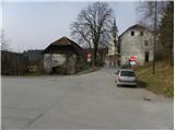 2
2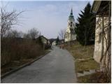 3
3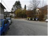 4
4 5
5 6
6 7
7 8
8 9
9 10
10 11
11 12
12 13
13 14
14 15
15 16
16 17
17 18
18 19
19 20
20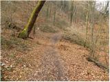 21
21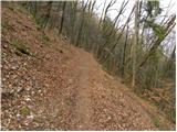 22
22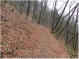 23
23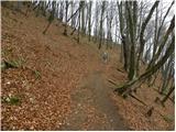 24
24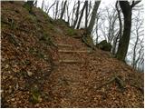 25
25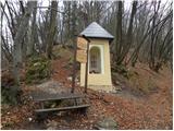 26
26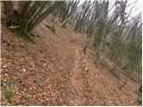 27
27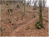 28
28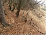 29
29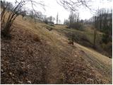 30
30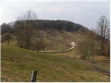 31
31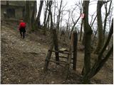 32
32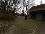 33
33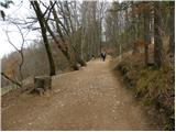 34
34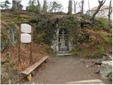 35
35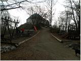 36
36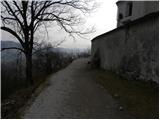 37
37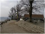 38
38 39
39