Šobčev bajer - Zjavka (via Fux footbridge)
Starting point: Šobčev bajer (426 m)
Starting point Lat/Lon: 46.3556°N 14.1507°E 
Path name: via Fux footbridge
Time of walking: 2 h 10 min
Difficulty: easy unmarked way
Difficulty of skiing: no data
Altitude difference: 79 m
Altitude difference (by path): 160 m
Map: Karavanke - osrednji del 1:50.000
Access to starting point:
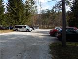
From the Ljubljana–Jesenice highway, take the Lesce exit, then continue driving towards Bled. Still before Bled, notice the signs for camp Šobec, which direct us left onto the road, along which we quickly arrive at a large parking lot located before the entrance to the camp. The parking lot or the last part of the road is payable during part of the year. During the high summer season, the entrance to the camp or access to Šobčev bajer is also payable.
Path description:
From the parking lot, continue along the access road that proceeds left of the fenced area of Šobčev bajer and begins to ascend transversely. When the wider macadam road turns slightly left, continue right onto the side road, beside which there are signs for the Pot ob Savi path. With a view of Babji zob and the surrounding hills, quickly arrive at a few beehives, beyond which the road turns into a cart track. A little further on, upon reaching a larger meadow, a short path less than 5 minutes long branches left to the Lehnjak stream and its spring; we continue straight if not viewing the stream, otherwise return to the mentioned junction and proceed towards Lancovo. Leaving the larger meadow, the path alternates through forest and partly across meadows. Upon reaching a smaller footbridge, cross it, then continue along the left bank of the Sava River, which leads past fish. After a few minutes walking along the river, reach an asphalt road, turn right, then cross the Sava over the bridge. Beyond the bridge, go left, where the path first passes the hydrological station Sava Radovljica, then ends behind some houses. The path continues across a larger meadow, entering forest on the other side. Through the forest, follow the cart track that descends transversely to the Sava, then proceed along a gentle path running close to the river. Further on, the path passes the former bridge, a boulder, and animals, then reaches Fux Footbridge, where the path from Radovljica joins.
Here, continue right and after a short ascent along the cart track, reach the next junction, continuing straight (right to Pusti grad via Ravnica). The path leads through forest, then at the next junction continue slightly left towards Kamne Gorice and after a few more steps reach a private path, bypassing the nearby house. Behind the house, the private path ends, and the trail crosses a short panoramic meadow. Further, the path passes a statue of Our Lady of Lourdes and some information boards of the nature study trail. After a shorter somewhat steeper ascent, reach a small saddle (a small cross is at the saddle), continuing left onto the unmarked path (right to Pusti grad).
After just a few ascent steps, the path forks again; continue on the lower right path (along the Ojstri vrh ridge – path bypassing Zjavka). At subsequent minor junctions, keep to the right paths; the moderately steep path quickly leads to Zjavka, from which a beautiful view opens.
On the way: Lancovo (415m)
Pictures:
 1
1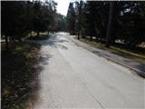 2
2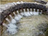 3
3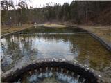 4
4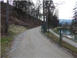 5
5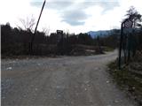 6
6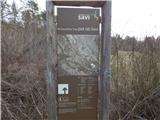 7
7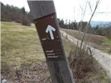 8
8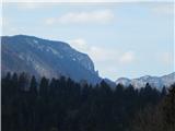 9
9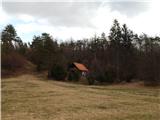 10
10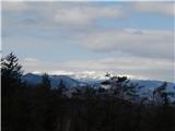 11
11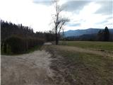 12
12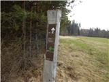 13
13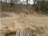 14
14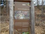 15
15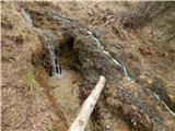 16
16 17
17 18
18 19
19 20
20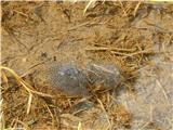 21
21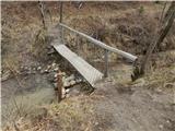 22
22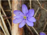 23
23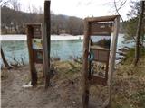 24
24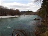 25
25 26
26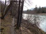 27
27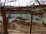 28
28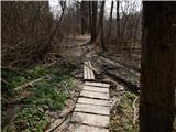 29
29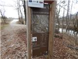 30
30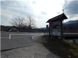 31
31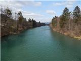 32
32 33
33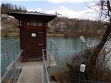 34
34 35
35 36
36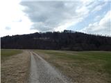 37
37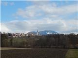 38
38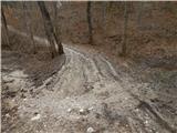 39
39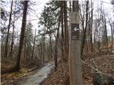 40
40 41
41 42
42 43
43 44
44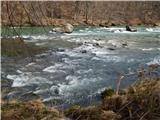 45
45 46
46 47
47 48
48 49
49 50
50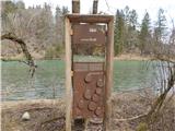 51
51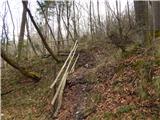 52
52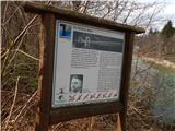 53
53 54
54 55
55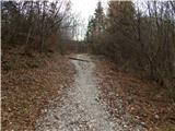 56
56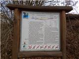 57
57 58
58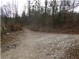 59
59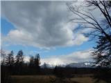 60
60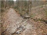 61
61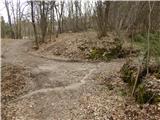 62
62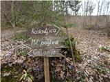 63
63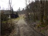 64
64 65
65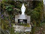 66
66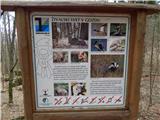 67
67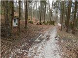 68
68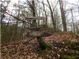 69
69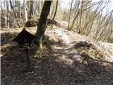 70
70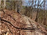 71
71 72
72 73
73 74
74 75
75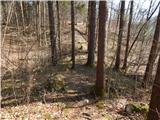 76
76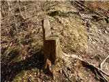 77
77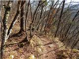 78
78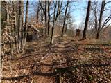 79
79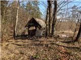 80
80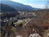 81
81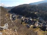 82
82