Šober (Spodnji Rušnik) - Koča na Žavcarjevem vrhu
Starting point: Šober (Spodnji Rušnik) (368 m)
| Latitude/Longitude: | 46,59180°N 15,55540°E |
| |
Walking time: 1 h 30 min
Difficulty: easy marked way
Elevation gain: 495 m
Elevation difference along the route: 513 m
Map: Pohorje 1:50.000
Recommended equipment (summer):
Recommended equipment (winter): ice axe, crampons
Views: 18.578
 | 1 person like this post |
Access to starting point:
From the Maribor - Dravograd road, in the village of Bresternica (on maps Brestrnica) we will notice signs for the village Gaj, directing us right (from the direction of Dravograd left). After a few meters, at a poorly marked intersection we continue left and follow the road that takes us through the village to the chapel, where we continue left. The mostly ascending road takes us higher to an intersection next to which we notice hiking direction signs for Tojzlov vrh. Here we continue left and follow the road for about another 1km to the next hiking signs (this time for Žavcarjev vrh) next to which we park at one of several smaller parking lots by the road.
Route description:
Important warning: The trail has been removed by PZS from the register of official marked trails, therefore the markings in the lower part are incomplete or removed. The trail in several places passes by isolated farms and homesteads, where larger dogs are often let loose in the yards, so passage with own dogs or leading younger children requires extreme caution. The hike is undertaken at your own risk.
From the starting point we head onto the gravel road in the direction of Žavcarjev vrh. The road initially leads along a stream, then turns right and ascends more steeply. We follow this road, which mainly runs through the forest, to a small hamlet, where it turns into a wide cart track. We continue the ascent along the mentioned cart track, which higher up leads past an isolated homestead and then brings us to a forest road, which we merely cross.
We continue the ascent along the cart track, which ascends transversely through the forest, but we follow it only to the point where markings direct us right onto a footpath.
Higher up the path widens into a cart track and later into a road, which we quickly leave, as markings again lead us onto a footpath. Higher up the path joins a road, along which we continue the ascent for the next few minutes.
Soon we will notice the next signs for Žavcarjev vrh, which direct us onto a cart track, along which we ascend in a few minutes to the mountain hut.

Photos:
 1
1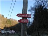 2
2 3
3 4
4 5
5 6
6 7
7 8
8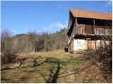 9
9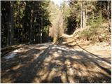 10
10 11
11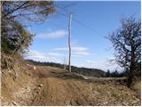 12
12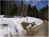 13
13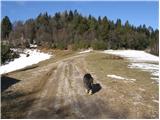 14
14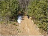 15
15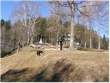 16
16 17
17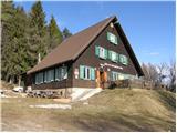 18
18
Discussion about the trip Šober (Spodnji Rušnik) - Koča na Žavcarjevem vrhu
|
| prlekj19. 12. 2009 |
And who knows how the hut is open (in winter)?
|
|
|
|
| drago1321. 12. 2009 |
The hut is open on weekends, same as in the summer season
|
|
|
|
| bostjan8522. 12. 2011 |
I'm curious if the hut now (two years after the last post) is still open on weekends too?
|
|
|
|
| Marx10. 02. 2013 |
Today (10.02.2013.) a winter-snowy ascent from Šober to the hut. The path is snowy, but well trodden, just slippery in places. The hut is open on weekends and renovated.
|
|
|
|
| mornar22. 04. 2018 |
Today on a nice trip to the hut. nice weather nice path. At the hut positively surprised by the friendly service and cleanliness in the hut especially the toilets. Thanks to the warden for the very good buhtelnje. Worth a visit, we'll come again.
|
|
|
|
| Bojan C.4. 08. 2019 |
I'm interested if the hut is still open only on Saturdays and Sundays? Where can I get a stamp when the hut is closed?
|
|
|
|
| alenka9891. 08. 2025 14:21:23 |
Those heading along this path with a dog, I don't recommend it, as there are two large dogs along the path, one of them unleashed. Unfortunately we turned back at a quarter of the way to the parking lot. Shame.
|
|
|
To post a comment you must log in:
If you do not yet have a username, you must first
register.