Starting point: Šober (392 m)
Starting point Lat/Lon: 46.60503°N 15.56975°E 
Time of walking: 1 h
Difficulty: easy marked way
Difficulty of skiing: no data
Altitude difference: 311 m
Altitude difference (by path): 311 m
Map:
Access to starting point:
From the road Maribor - Dravograd, from the roundabout in Bresternica we drive in the direction of exit for Gaj nad Mariborom, and immediately after the crossroad we go once again left towards Gaj. The path ahead leads us past Mercator store and then also through part of the settlement Bresternica, and then we get to the chapel, where we go left towards Gaj nad Mariborom. Further, we drive by the stream Bresterniški potok, and from the crossroad at Šoberjev dvor we go right on the road towards Sveti Urban. Further, we drive on Petkova graba, and we follow the road to the spot, where opposite of a meadow to the right, a marked path branches off towards Kamnica, and to the left leads a marked path on Tojzlov vrh. We park on an appropriate place by the crossroad, best on the other side of the bridge, where continues the road towards Kamnica.
Path description:
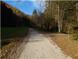
From the starting point, we go on the path towards Tojzlov vrh, where we walk through a meadow, after which we ascend into the forest. Through the forest, we are ascending on a cart track, and after few minutes we reach another cart track which we follow left upwards. Also further we are ascending on a cart track and at the crossings we follow the blazes. Higher, we leave the forest and we ascend to an asphalt road which we follow to the left.
For a short time, we walk on a panoramic road, from which a nice view opens up towards Sveti Urban and surrounding hills, and then the road returns into the forest. Follows few minutes of a moderate ascent and we get to Planinski dom Kozjak or Planinski dom Obrtnik on Tojzlov vrh.
Before the hut we go right on a cart track, by which there are signs for the peak. After few steps the path goes into the forest, through which it is lightly ascending and after few minutes brings us on with a forest covered peak, where there are an inscription box and NOB monument.
The starting point - Planinski dom Kozjak 0:55, Planinski dom Kozjak - Tojzlov vrh 0:05.
Description and pictures refer to a condition in November 2021.
Pictures:
 1
1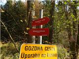 2
2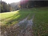 3
3 4
4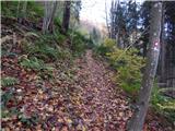 5
5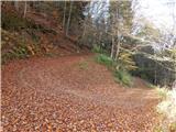 6
6 7
7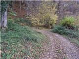 8
8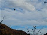 9
9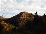 10
10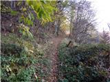 11
11 12
12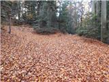 13
13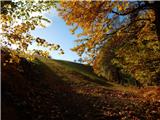 14
14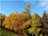 15
15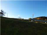 16
16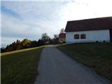 17
17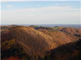 18
18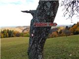 19
19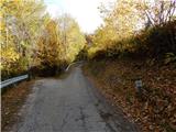 20
20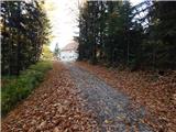 21
21 22
22 23
23 24
24 25
25 26
26