Starting point: Sommeralm (1404 m)
Starting point Lat/Lon: 47.34759°N 15.55492°E 
Time of walking: 22 min
Difficulty: easy unmarked way
Difficulty of skiing: no data
Altitude difference: 127 m
Altitude difference (by path): 127 m
Map:
Access to starting point:
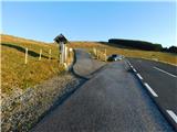
Highway A2 Graz - Vienna / Wien we leave at the exit for Gleisdorf West, and then we follow the signs for Hartberg and Weiz, and later only Weiz. Through Weiz, we follow the signs for Passail. For the gorge Weizklamm, we turn right from the main road towards Sommeralm and surrounding settlements (straight for Passail). The road gradually starts ascending significantly, and we follow the signs for Sommeralm. Higher, we pass the cottage Stoakoglhütte, and a little further we reach the parking lot by the road to Sommeralm, where we park.
Path description:
From the parking lot, we head onto a side road that branches off northward in the middle of the parking lot and leads toward the nearby wind power plant. For a short time, we walk along the road, then veer slightly right onto a well-trodden path that begins ascending a scenic grassy slope (right Stoakogelhütte). Higher up, we cross a grazing fence, followed by a few minutes of moderate ascent to the cross at the mountain's summit.
Description and pictures refer to the condition in November 2023.
Pictures:
 1
1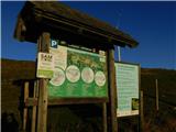 2
2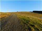 3
3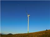 4
4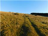 5
5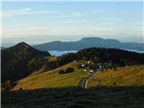 6
6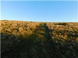 7
7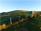 8
8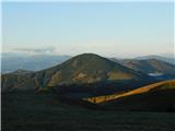 9
9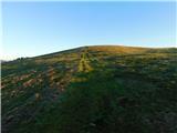 10
10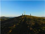 11
11 12
12