Source of Ljubija - Smrekovec (by road)
Starting point: Source of Ljubija (658 m)
Starting point Lat/Lon: 46.4032°N 14.9405°E 
Path name: by road
Time of walking: 2 h 30 min
Difficulty: easy unmarked way
Difficulty of skiing: no data
Altitude difference: 919 m
Altitude difference (by path): 940 m
Map: Kamniške in Savinjske Alpe 1:50.000
Access to starting point:
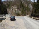
A) From highway Ljubljana - Maribor we go to the exit Šentrupert, and then we continue driving in the direction Mozirje and valley Logarska dolina. At the beginning of Mozirje from the roundabout we turn right in the direction of the settlement Bele Vode, and then we further follow the signs for Ljubijski graben. Higher, the asphalt ends and after shorter quite steep part the road flattens and past the homestead Rožman brings us to a water catchment, which is situated near the confluence of the rivers Ljubija and Kramarica. We park on an appropriate place by the water catchment.
B) From Ljubno ob Savinji or Gornji Grad we drive to Mozirje, and there from a roundabout near the store Hofer we continue in the direction of Bele Vode, and then we further follow the signs for Ljubijski graben. Higher, the asphalt ends and after shorter quite steep part the road flattens and past the homestead Rožman brings us to a water catchment, which is situated near the confluence of the rivers Ljubija and Kramarica. We park on an appropriate place by the water catchment.
C) We drive to Šoštanj, where from the roundabout by TEŠ we continue in the direction of Bele Vode. After the bridge over the river Paka and behind the railway track at the crossroad we continue straight in the direction of Bele Vode and also in the next crossroads, we follow the mentioned direction. Further, we drive past the church in Bele Vode, and then we get to a saddle north from Sveti Križ. After the saddle, the road starts descending, and then in diagonal descent brings us into a valley of the stream Kramarica, where we continue left. Further, we are descending by the stream Kramarica, after we get to a confluence of the rivers Kramarica and Ljubija we park on an appropriate place by the water catchment.
Path description:
From the starting point by the water catchment we continue left by the stream Ljubija, where over a bad road is placed a green gate. After the gate we continue on a bad road which leads us through scenic gorge. In few minutes we get to relatively strong karst source, where stream Ljubija originates. From the source we continue on a worse and because of frequent rain quite rough road which continues through Ljubijski graben. Higher gorge splits into two parts, and we continue on the left gorge, by which still continues worse road. Further slopes by the path become less steep, and then we suddenly step on an ample meadow. The path continues by the left edge of a meadow, and then we join the wider macadam road which we follow to the left, or straight (right Dom na Smrekovcu - over Leskovškova pustota).
We continue on the road which still continues by the left edge of a meadow, and a little right from the path, we notice sinkhole. After the sinkhole road turns left and passes into the forest. Only a little higher follows also right turn, and then we are for some time ascending diagonally through the forest. When the forest ends at first a nice view opens up, and then the road for some time changes into a cart track. On the cart track, we are ascending in some longer zig-zags, and then the cart track widens into a road which is ascending diagonally towards the right. Higher, the road flattens, and further twice also descends a little. Even a little further from the right joins a wider cart track (path over Leskovškova pustota), and we still continue on the road, on which we walk only to the spot, where we reach a marked path Bele Vode - Smrekovec.
We continue left upwards on a marked path (right Bele Vode, straight on the road saddle Kramarica). Higher, we cross another road, where to the left continues the path towards Golte, and a little above the road we step out of the forest, where we continue right in the direction of the mountain hut Dom na Smrekovcu. From the spot, when we step out of the forest follows few minutes of a little more panoramic path and we already reach the mountain hut Dom na Smrekovcu.
From Dom na Smrekovcu we continue in the direction of the peak of Smrekovec, where the path at first leads through the short panoramic part, from which a view opens up towards the main Kamnik Savinja Alps, and then it passes into a thin forest, where after a short ascent, we reach the marked crossing, where we continue right (straight Komen, Travnik...). From the crossing ahead the forest gets even thinner, and then already on entirely unvegetated part it leads a little more to the right, where with a view, which reaches far around, without any bigger problems we reach pyramid on the top of Smrekovec.
Description and pictures refer to a condition in the year 2016 (March).
Pictures:
 1
1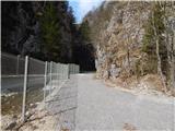 2
2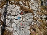 3
3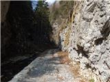 4
4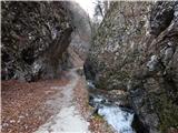 5
5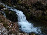 6
6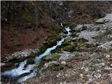 7
7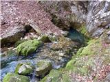 8
8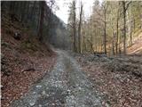 9
9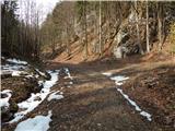 10
10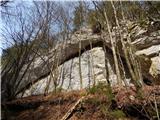 11
11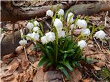 12
12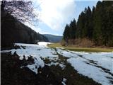 13
13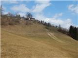 14
14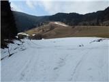 15
15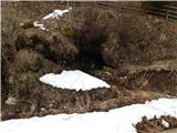 16
16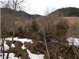 17
17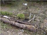 18
18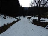 19
19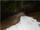 20
20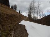 21
21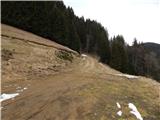 22
22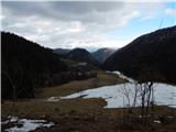 23
23 24
24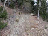 25
25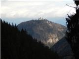 26
26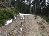 27
27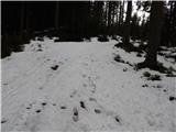 28
28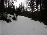 29
29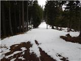 30
30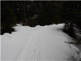 31
31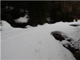 32
32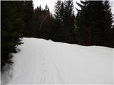 33
33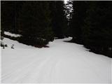 34
34 35
35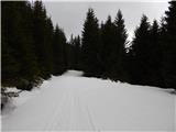 36
36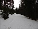 37
37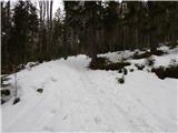 38
38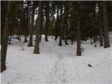 39
39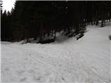 40
40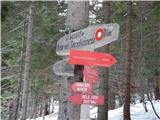 41
41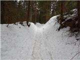 42
42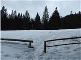 43
43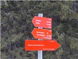 44
44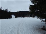 45
45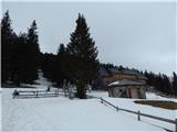 46
46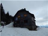 47
47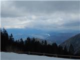 48
48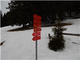 49
49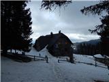 50
50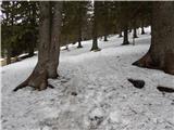 51
51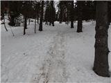 52
52 53
53 54
54 55
55 56
56 57
57 58
58 59
59