Spodnja Kokra - Škrbina (Slaparjeva gora) (via farm Zajc)
Starting point: Spodnja Kokra (530 m)
Starting point Lat/Lon: 46.30359°N 14.4779°E 
Path name: via farm Zajc
Time of walking: 1 h 40 min
Difficulty: easy unmarked way
Difficulty of skiing: no data
Altitude difference: 612 m
Altitude difference (by path): 612 m
Map:
Access to starting point:
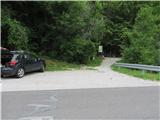
From highway Ljubljana - Jesenice we go to the exit Kranj - vzhod and follow the road ahead in the direction of Jezersko. Only few kilometers after the turn-off for Preddvor, we will on the right side of the road notice transformer and next to it a parking lot, and we drive for few hundred meters ahead, where we park direct by stream Čemšeniški potok.
Path description:
From the parking lot, we at first by the road carefully circumvent the stream (concrete bridge) and right after it we look for a footpath which takes us steep in the forest and is all the time ascending by the stream. Already after 5 minutes of a moderate ascent we run into a stairs, which bring us on at first macadam, and a little later asphalt road. After 20 minutes of walking, it brings us to the turn-off for mountain hut Dom Čemšenik. There we cross the stream and we still stick to the main road which a little less than half an hour we still follow it all the way to the farm Zajc. There we ascend over a pasture past two holiday cottages and immediately after them we follow the cart track left in the forest. Cart track, which has few crossings, we follow all the way until, near the upper ridge, poorly maintained cart track turns to the right. After 5 minutes we reach the ridge, actually saddle, because left path leads towards Slaparjeva gora, and we look for a footpath which already in few minutes brings us on the lower secondary peak of Škrbina, from where we can already enjoy in striking views on Kamnik Alps. From there we have to make an effort 5 more minutes on a poorly visible, but not very exposed ridge footpath among dwarf pines and rocks to the peak of Škrbina.
Pictures:
 1
1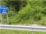 2
2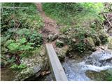 3
3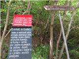 4
4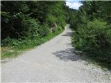 5
5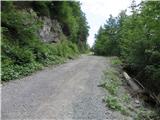 6
6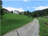 7
7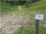 8
8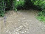 9
9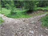 10
10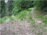 11
11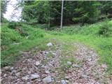 12
12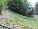 13
13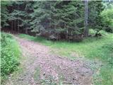 14
14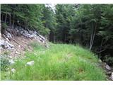 15
15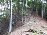 16
16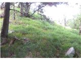 17
17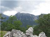 18
18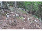 19
19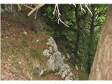 20
20 21
21