Spodnja Lipnica (Kolnica) - Suharna (via Vrtača)
Starting point: Spodnja Lipnica (Kolnica) (491 m)
Starting point Lat/Lon: 46.3206°N 14.1629°E 
Path name: via Vrtača
Time of walking: 1 h 10 min
Difficulty: easy marked way
Difficulty of skiing: no data
Altitude difference: 461 m
Altitude difference (by path): 461 m
Map:
Access to starting point:
From highway Ljubljana - Jesenice we go to the exit Naklo, Podtabor or Brezje, and then we continue driving in the direction of Kropa. At the crossroad, where in the direction of straight road continues towards Kropa we turn right and further we drive through Kamna Gorica. Ahead we for some time still drive through the valley Lipniška dolina, and then we turn left in the direction of Spodnja Lipnica and hunting cottage Lovska koča na Taležu. Before hamlet Kolnica we park right on a parking lot. B) From highway Jesenice - Ljubljana we go to the exit Lesce or Radovljica, and then we continue driving in the direction of Radovljica and later village Lancovo, Lipnica and Kamna Gorica. Further road over a bridge crosses the river Sava and on the other side it gradually starts ascending. The path ahead leads us through Lancovo, and then we descend into a valley Lipniška dolina, where we soon turn right into Spodnja Lipnica. After about a little less than a kilometer before the hamlet Kolnica we park left before the bridge on a parking lot.
Path description:
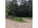
The starting point is left before the bridge before we come into hamlet Kolnica. Here is available a smaller parking lot. The path leads us upwards at first on a forest cart track past a smaller source, when we come on first crossing, we go right on a forest cart track, at the next crossing left, and when the cart track flattens then right on newly made cart track. From here the path starts steeply ascending at first on a forest cart track and then on an old path in zig-zags, meanwhile we go past a religious symbol and a bench on Počivavo and forward to Ravan, when the path comes on a forest cart track, we go left, straight is a sign for Razpok. After 50 meters we leave the cart track and we go right on a worse path towards Vrtača on the ridge, at the crossing at the end of Vrtača we go left on a poorly visible path. Then we come to the forest cart track where we go left and after 100 meters we reach vantage point on Suharna (Suhrna).
On the way: Počivav (747m), Vrtača (950m)
Pictures:
 1
1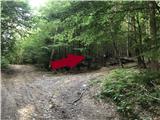 2
2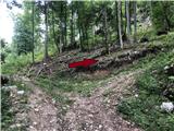 3
3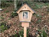 4
4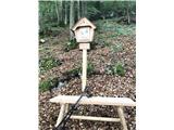 5
5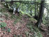 6
6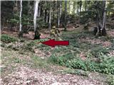 7
7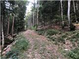 8
8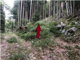 9
9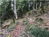 10
10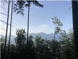 11
11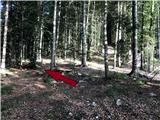 12
12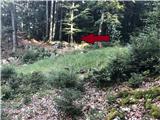 13
13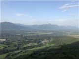 14
14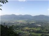 15
15