Starting point: Spodnje Tinsko (226 m)
Starting point Lat/Lon: 46.17616°N 15.56169°E 
Time of walking: 1 h 35 min
Difficulty: easy unmarked way
Difficulty of skiing: no data
Altitude difference: 391 m
Altitude difference (by path): 420 m
Map:
Access to starting point:
a) From the Ljubljana - Maribor highway, we exit at Dramlje, then follow the signs for Šentjur. From the center of Šentjur, we briefly continue towards the settlement Šmarje pri Jelšah, but soon turn right onto the road towards Podsreda and Planina pri Sevnici. When Šentjur ends, we soon turn left from the main road in the direction of Podsreda, Kozje, and Gorica pri Slivnici. When we get to the settlement Gorica pri Slivnici, we go from the roundabout on the exit for Sodna vas and Sveti Štefan. When Gorica pri Slivnici ends, the path leads us along lake Slivniško jezero, and we follow the main road to Loke pri Žusmu and a little further to the settlement Tinsko. After the road sign marking the end of the settlement Tinsko and before the sign marking the start of the settlement Roginska Gorca, a side road branches off to the right, leading to a nearby house, from which a marked path continues to Rudnica. At the start of the described path, there are no designated parking spaces for hikers.
b) From the Šentjur - Rogaška Slatina road, between the settlements Šmarje pri Jelšah and Mestinje, we turn right (or left from the direction of Rogaška Slatina) towards Podčetrtek. We continue following the road towards Podčetrtek, and after the settlement Pristava pri Mestinju, we soon turn right towards Gorica and Slivnica. Further, we drive through Roginska Gorca. After the road sign marking the end of the mentioned settlement and before the start of the settlement Tinsko, a side road branches off to the left, leading to a nearby house, from which a path continues towards Rudnica. At the start of the described path, there are no designated parking spaces for hikers.
Path description:
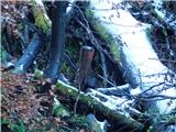
From the asphalt road, we turn onto a side macadam road which branches off towards the south, and along it we gently descend to a nearby house, where we continue through the yard. The path ahead leads us along the road towards the next house, situated at the edge of the forest, and just before the next house we turn right into the forest, where trail blazes guide us. The path ahead leads through the forest and quickly brings us into the valley of a torrent stream, where the footpath, due to several fallen trees, becomes practically impassable. A less trodden path has formed slightly to the left of the more difficult section and higher up returns to the valley of the stream, where it also flattens for a while. From here, we continue briefly alongside the stream, then cross it, and the footpath turns to the right, where it ascends diagonally across a steeper slope to a nearby cart track, which we follow left upwards. A little further, we reach a wider cart track, which at a turning point widens into a macadam road, along which, in a few hairpin turns and under the route of a high-voltage power line, we ascend to a saddle, where we reach a marked crossing.
From the crossing, we go right (left tower Stolp Zdravja in Veselja) and for a few minutes continue gently ascending along the macadam road; when the road becomes asphalt, we begin to moderately descend. At the start of the descent, a beautiful view opens towards Žusem, where the tower Stolp Ljubezni stands, and we continue along the asphalt road. The road then flattens and loses its asphalt surface, and we arrive at a small crossroad, from which we continue straight onto a footpath (left Koča pri Čarovnici).
We continue along a gently sloping path through the forest, and a little further, the path from Koča pri Čarovnici joins from the left.
Here we go right, and a few steps further, turn left following the signs for Plešivec.
The path ahead leads us along a macadam road, which splits a few minutes further.
We choose the slightly right path (slightly left lake on Olimska gora) and continue along the road to a small saddle, where we turn right onto an unmarked path (left Plešivec), along which, in a few minutes of moderate ascent, we reach a fairly panoramic peak.
Pictures:
 1
1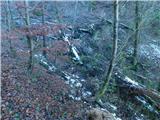 2
2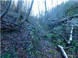 3
3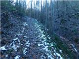 4
4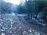 5
5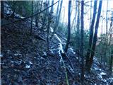 6
6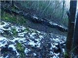 7
7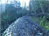 8
8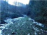 9
9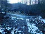 10
10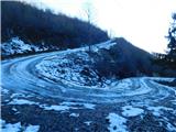 11
11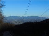 12
12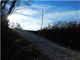 13
13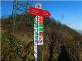 14
14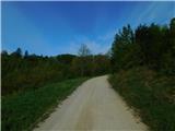 15
15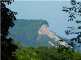 16
16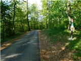 17
17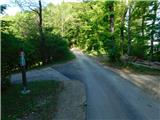 18
18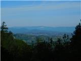 19
19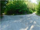 20
20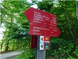 21
21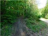 22
22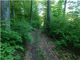 23
23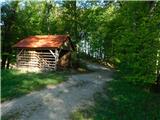 24
24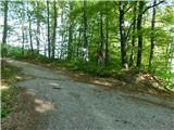 25
25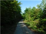 26
26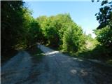 27
27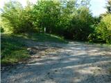 28
28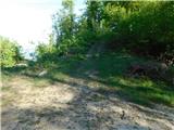 29
29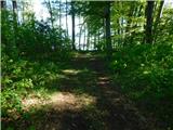 30
30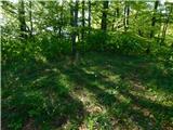 31
31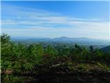 32
32