Srednji Vrh - Vošca (via Jureževa planina)
Starting point: Srednji Vrh (960 m)
Starting point Lat/Lon: 46.4894°N 13.8371°E 
Path name: via Jureževa planina
Time of walking: 2 h 5 min
Difficulty: easy unmarked way
Difficulty of skiing: no data
Altitude difference: 777 m
Altitude difference (by path): 777 m
Map: Kranjska Gora 1:30.000
Access to starting point:
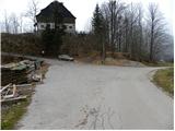
From highway Ljubljana - Jesenice we go to the exit Jesenice - west (Hrušica) and we continue driving in the direction Kranjska Gora. When we come in Gozd Martuljek we turn right in the direction of Srednji Vrh and on a narrow and steep road we drive to the mentioned settlement. When the road flattens a little, we will come to a crossroad of multiple roads and turning point. Here we park on an appropriate place by the crossroad.
Path description:
From the crossroad, we continue on the left ascending road by which we notice signs "Trupijevo poldne". This road which leads us past cheese cottage Pr' Hlebanju and turn-off of the path on Trupejevo poldne, we then follow to the end of the road at the farm Jurež (ecological farm Pri Merklnu). We continue past the business building, and then just before the residential house we continue sharply right on a cart track which ascends between the both buildings. We continue on a cart track which ascends through a panoramic meadow, and then turns to the left and gradually passes into the forest through which we are for quite some time ascending. The path soon crosses a small well and then it quickly brings us to a crossing of two cart tracks. We continue on the right (left ends at the ruined bridge), which only a little further brings us out of the forest on grassy slopes. Here, the footpath vanishes a little, and we all the time of ascent stick to the right edge of a grassy slope. Higher, we step on the road which comes from the border crossing Korensko sedlo and we follow it to the right, and after good 5 minutes of additional walking brings us on Jureževa planina.
From the hunting cottage on Jureževa planina we continue few more 10 meters on the forest road, and then we leave it and we continue the ascent left on ascending and often also muddy cart track. Cart track ascends through a lane of a forest and then it brings us on the upper grassy slopes of Vošca. Here the path turns to the left and then it is ascending diagonally towards the summit, which we already see in front of us, and we reach it after approximately 10 minutes of additional walking.
Pictures:
 1
1 2
2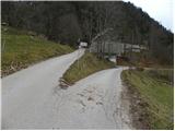 3
3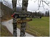 4
4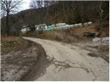 5
5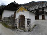 6
6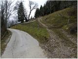 7
7 8
8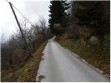 9
9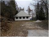 10
10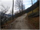 11
11 12
12 13
13 14
14 15
15 16
16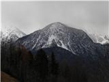 17
17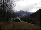 18
18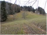 19
19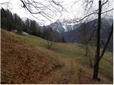 20
20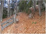 21
21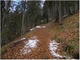 22
22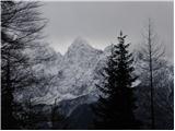 23
23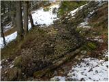 24
24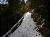 25
25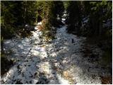 26
26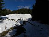 27
27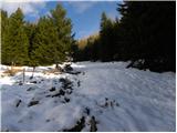 28
28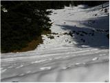 29
29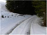 30
30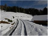 31
31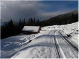 32
32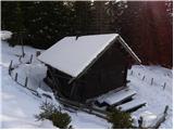 33
33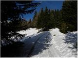 34
34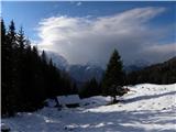 35
35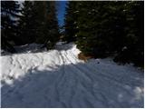 36
36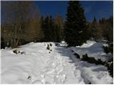 37
37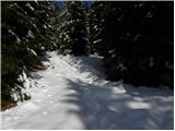 38
38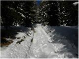 39
39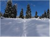 40
40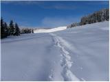 41
41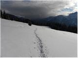 42
42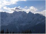 43
43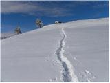 44
44 45
45 46
46