Stara Fužina - Rudnica (by road)
Starting point: Stara Fužina (546 m)
Starting point Lat/Lon: 46.2823°N 13.8896°E 
Path name: by road
Time of walking: 1 h 40 min
Difficulty: easy marked way
Difficulty of skiing: no data
Altitude difference: 400 m
Altitude difference (by path): 400 m
Map: TNP 1:50.000
Access to starting point:
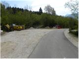
From highway Ljubljana - Jesenice we go to the exit Lesce, and then we continue driving towards Lake Bohinj. In Ribčev laz we continue right towards Stara Fužina, and we follow the road only few 100 meters, or more precisely to a crossroad, where signs for Rudnica and Peč point us to the right through a bridge over the river Mostnica. Immediately behind the bridge is starting point for our tour.
Because in the area of TNP parking is only allowed on a marked spots, we have to park on some nearby payable or on a little more distant free parking lot.
Path description:
At the starting point, we notice signs for Peč and Rudnica, but we don't start in this direction, but right behind the bridge over Mostnica we continue left on asphalt cycling path. The path for some time leads by Mostnica, and then we get to a smaller crossroad (to here possible also from the center of Stara Fužina), where we continue right in the direction of Rudnica. We still continue on cycling road, only that now we walk on a panoramic meadow, which is barely ascending by the stream Ribnica. And only a little further we get to the next crossroad, where we leave cycling road and we continue right on a macadam road, by which we notice signs for Rudnica. The road is only a short time still gently ascending, and then passes into a lane of bushes, where it turns slightly to the left and gradually starts moderately ascending. In two successive crossroads we continue straight, after that from the left joins the path from the village Studor. We continue in the direction of Rudnica and we go on a worse road, partly already cart track which is ascending partly through the forest, and partly over panoramic grassy slopes, on which stands some old cottage. Higher few times a nice view opens up on the hill Studor and Lake Bohinj, and the path then again starts ascending steeper. Next follows a short steeper ascent and from the right joins the marked path past Peč.
We continue in the direction of Rudnica, and the path which ahead runs on a cart track, quickly brings us to a large meadow, where on its lower edge we notice a smaller log cabin. We continue straight through a panoramic meadow, from which a nice view opens up on Lake Bohinj. On the upper part of a meadow path returns into the forest and only few 10 meters higher joins the marked path from the village Brod. Here we continue left and after a minute of additional walking, we get to the top of Rudnica.
Pictures:
 1
1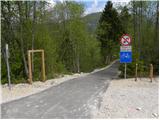 2
2 3
3 4
4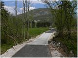 5
5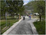 6
6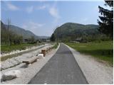 7
7 8
8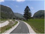 9
9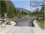 10
10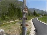 11
11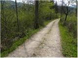 12
12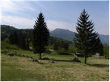 13
13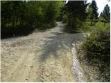 14
14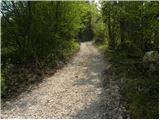 15
15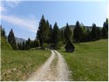 16
16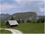 17
17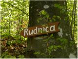 18
18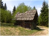 19
19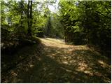 20
20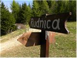 21
21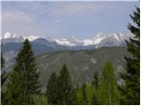 22
22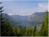 23
23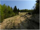 24
24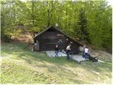 25
25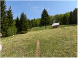 26
26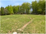 27
27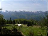 28
28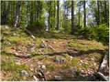 29
29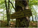 30
30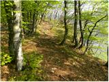 31
31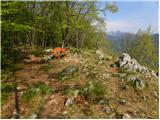 32
32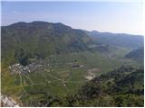 33
33 34
34