Stari Grad (Šega) - Dedni vrh (Šuštarica)
Starting point: Stari Grad (Šega) (357 m)
Starting point Lat/Lon: 46.29639°N 15.65783°E 
Time of walking: 1 h
Difficulty: easy unmarked way
Difficulty of skiing: no data
Altitude difference: 296 m
Altitude difference (by path): 300 m
Map:
Access to starting point:
We drive to Makole, and then at the roundabout in the center of the settlement, we drive in the direction towards Sveta Ana, Šega, waterfall Šošterica and settlement Stari Grad. A little further, we go right in the direction of Šega and waterfall Šošterica (straight - Sveta Ana), and on the road we drive to a smaller crossroad, by which there is a parking lot, and on the right side of the road there are signs for waterfall Šošterica and Boč. We park on a parking lot on the left side of the road.
Path description:
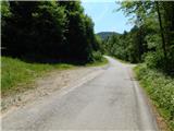
From the parking lot, we continue on the asphalt road in the direction towards Boč (slightly right on the macadam road - waterfall Šošterica - 15 minutes). On the road, we start ascending and in few minutes we get to the hamlet Motanje, where at the crossroad with signs for Dedni Vrh, Planinski Dom na Boču, we leave the main road which leads towards the hamlet Variša vas and we continue right.
After the crossroad, the road becomes a macadam, and after the panoramic meadow it brings us into the forest. Through the forest, we are ascending diagonally, and higher we go past the sports field, after which for few minutes we continue through the forest. When the forest ends, the road again becomes asphalted and it brings us to a hamlet Dedni Vrh, where we bypass few houses on the right side. After the hamlet the asphalt ends, and the road returns into the forest. A little further at the crossroad, we continue straight, and when we reach a small saddle between Plešivec on the left and Dedni vrh on the right, at the feeding site for wild animals we leave the road and we continue right, at first still on a cart track, and then on a steep ridge path. The path which is mainly in wet dangerous for slipping, we follow to the nearby peak, which we reach in approximately 5 minutes of walking from the spot, where we left the road.
Description and pictures refer to a condition in May 2022.
Pictures:
 1
1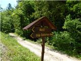 2
2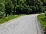 3
3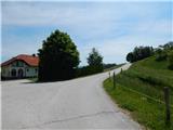 4
4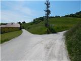 5
5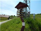 6
6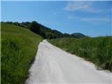 7
7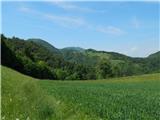 8
8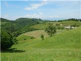 9
9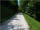 10
10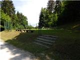 11
11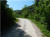 12
12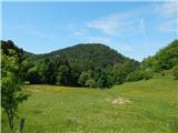 13
13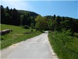 14
14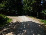 15
15 16
16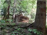 17
17 18
18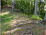 19
19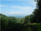 20
20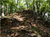 21
21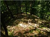 22
22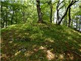 23
23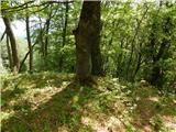 24
24 25
25