Starting point: Stoperce (294 m)
Starting point Lat/Lon: 46.28896°N 15.71569°E 
Time of walking: 50 min
Difficulty: easy unmarked way
Difficulty of skiing: no data
Altitude difference: 179 m
Altitude difference (by path): 195 m
Map:
Access to starting point:
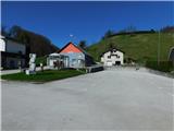
A) We drive to Rogaška Slatina, and then we continue driving towards Rogatec. In Rogatec at the roundabout we go to the exit "left" in the direction of Ptuj, and then we drive on the main road to mountain pass Brzika, where the road starts descending. Lower, we get to Stoperce, where we park on a parking lot at Krajevni dom.
B) we drive to Majšperk, then follow the signs for Stoperce and Rogatec. When we get to Stoperce we park at Domu krajanov Stoperce.
Path description:
From Dom krajanov Stoperce we walk for a short time along the main road towards Rogatec, then behind the Litož store we turn right onto a side road, marked with signs for Sveta Ana and Zelena dolina. The path ahead initially ascends through a small valley, but we soon climb onto a slope, where the path leads past individual houses with beautiful views. Higher up, the road temporarily flattens, offering a nice view towards the church of Sveta Ana, while we continue following the asphalt road and the trail markers.
Hill with the church of St. Ana we bypass in a diagonal ascent towards the right, when we reach the saddle north of Sveta Ana, we go slightly right in the direction of Fidrški Vrh (sharply left Sveta Ana and Zelena dolina), where the path leads us past a pleasant resting place. The path ahead leads us along the Stoperce mountain trail, and at the nearby crossroad, we turn right onto a macadam road, which further on crosses the slopes of Škrbatnica towards the left.
Only a few steps before we reach the saddle between Fidrški vrh and Škrbatnica, we turn sharply right onto an unmarked cart track, which begins ascending along the ridge of Škrbatnica. The cart track then quickly turns into a footpath, which shifts onto the ridge, and in a few minutes, we arrive at the top.
The description and pictures refer to the condition in March 2024.
Pictures:
 1
1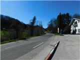 2
2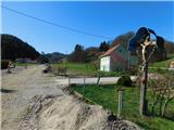 3
3 4
4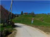 5
5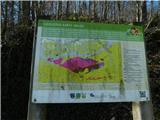 6
6 7
7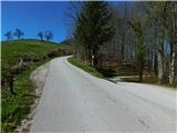 8
8 9
9 10
10 11
11 12
12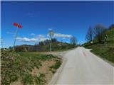 13
13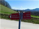 14
14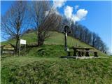 15
15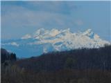 16
16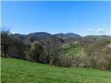 17
17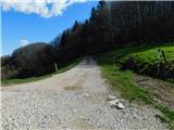 18
18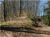 19
19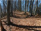 20
20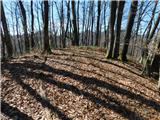 21
21