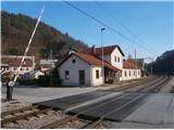
Starting point: Štore (240 m)
Starting point Lat/Lon: 46.2213°N 15.3215°E 
Time of walking: 2 h 30 min
Difficulty: easy marked way
Difficulty of skiing: no data
Altitude difference: 442 m
Altitude difference (by path): 585 m
Map: Posavsko hribovje Boč - Bohor 1:50.000
Access to starting point:
Štore accessible with the help of the train. On the road...we leave the highway in Celje and practically in the center of Celje we go towards Štore or Šentjur. We park the car near the railway station Štore, where there is enough parking spots available and there is also the beginning of the marked mountain path.
Path description:
The beginning of the path is at the railway station in Štore. We go through Voglajna, where a signpost immediately points us left few ten altitude meters uphill. At the first structure immediately left and we follow the mountain path through the forest directly above Voglajna. When we get out of the forest in the settlement Draga we follow the meadow path also directly above Voglajna and further on the asphalt road to the bridge over the river Voglajna or to the crossing named Opoka. Left over a bridge goes the path towards Dramlje, Konjiška gora..., right on a narrower forest road through Kompole and Šentjanž higher into hills above Štore and Celje, and we continue on the asphalt road straight and after few hundred metrers through the settlement Prožinska vas and then we three times turn slightly to the left. Of course the path is well marked with blazes, signs and it is easy to follow. Further, we pass on a cart track which after few hundred meters a little downwards brings us to a stream, which after few hundred metrers we cross it with the help of a smaller bridge, we continue by the water supply building, a smaller source of water, where we can quench the thirst and the wooden cross. Soon after the cross we go away from the water and we continue higher by the hayrack and through a yard of a homestead. Behind the homestead a little more sharply uphill partly on the road and further on a meadow path, where we soon cross the forest road. With the help of few meters of steel cables we continue higher on a pleasant forest path and soon from the left joins the path from Šentjur.
We continue on a little wider forest path below the only homestead in this part and further we go a little right through the forest, where after few hundred metrers we reach an asphalt road which leads higher. Further, we follow the asphalt road and after few hundred metrers from the left a steep path from Šentjur joins.
We continue on the asphalt grounding and with the help of wooden stairs we got to a meadow plain, where at NOB monument we turn right on a forest/transport road for mountain hut Planinski dom Resevna and we soon reach the mountain hut.
From the hut, we of course continue few steps higher to a modern lookout tower.
The distance of the path is around 6500 meters, 585 positive and 60 negative altitude meters.
Pictures:
 1
1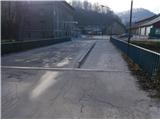 2
2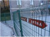 3
3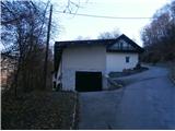 4
4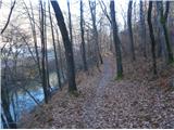 5
5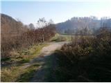 6
6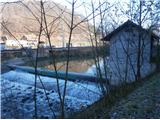 7
7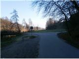 8
8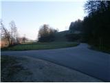 9
9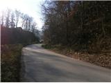 10
10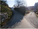 11
11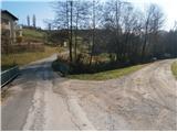 12
12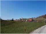 13
13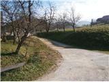 14
14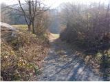 15
15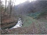 16
16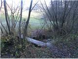 17
17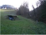 18
18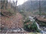 19
19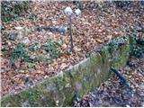 20
20 21
21 22
22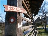 23
23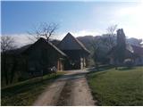 24
24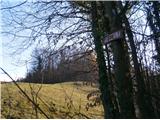 25
25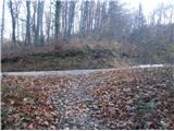 26
26 27
27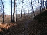 28
28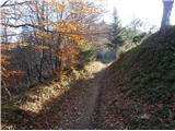 29
29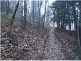 30
30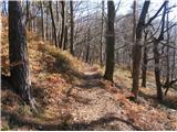 31
31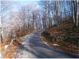 32
32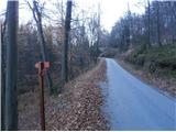 33
33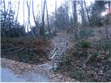 34
34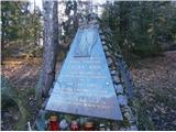 35
35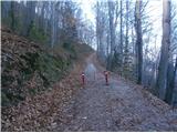 36
36 37
37 38
38