Štore - Tolsti vrh above Celjska koča (via Bojanski graben)
Starting point: Štore (240 m)
Starting point Lat/Lon: 46.2213°N 15.3215°E 
Path name: via Bojanski graben
Time of walking: 2 h 30 min
Difficulty: easy marked way
Difficulty of skiing: no data
Altitude difference: 594 m
Altitude difference (by path): 710 m
Map:
Access to starting point:
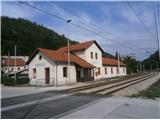
Štore accessible ideally with the help of a railway. On the road...you leave the highway in Celje and practically in the center of Celje go towards Štore or Šentjur. You park the car near the railway station Štore, where there is enough parking spots available and there is also the beginning of the marked mountain path.
Path description:
The beginning of the path is at the railway station in Štore. We go through Voglajna, where a signpost immediately points us to the right and then it goes soon straight practically through the area of old Štore iron works. On the asphalt road, we continue along Bojanski jarek to another crossing, where we continue straight, left path over Žlajfa. Soon the road turns sharply left a little uphill, at the sports field flattens again and behind some terraced houses we turn left on the forest road which passes into a forest path. The path,,past Marija,, branches off to the right, while we continue left through the gorge of Bojanski graben directly by the stream. We continue left higher in a steeper ascent and soon after we get out of the forest, we go again left on the forest road, where soon from the left joins the path over Žlajfa.
We continue right through the meadow part and the forest part. In the forest from the left joins a mountain path from Štore through Šentjanž or Resevna and after a shorter walk through the forest you reach the mountain hut Almin dom na Svetini.
From the mountain hut Almin dom we continue on a marked path on Tolsti vrh, which you reach from the east side.
Pictures:
 1
1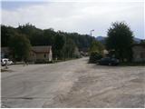 2
2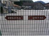 3
3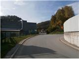 4
4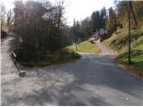 5
5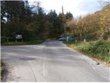 6
6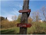 7
7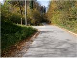 8
8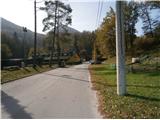 9
9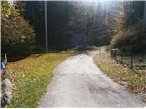 10
10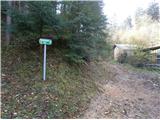 11
11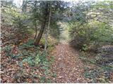 12
12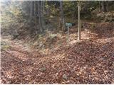 13
13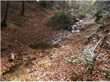 14
14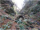 15
15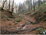 16
16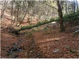 17
17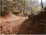 18
18 19
19 20
20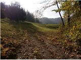 21
21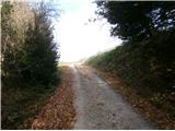 22
22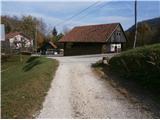 23
23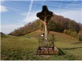 24
24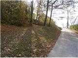 25
25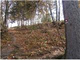 26
26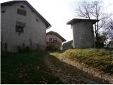 27
27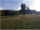 28
28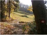 29
29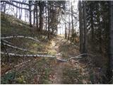 30
30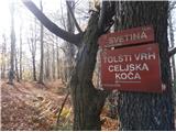 31
31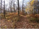 32
32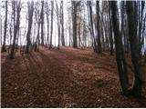 33
33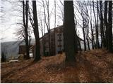 34
34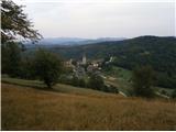 35
35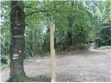 36
36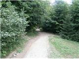 37
37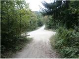 38
38 39
39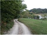 40
40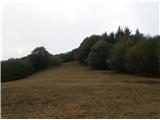 41
41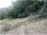 42
42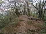 43
43 44
44