Starting point: Straßegg (1170 m)
Starting point Lat/Lon: 47.38978°N 15.53077°E 
Time of walking: 1 h 45 min
Difficulty: easy marked way
Difficulty of skiing: no data
Altitude difference: 410 m
Altitude difference (by path): 445 m
Map:
Access to starting point:
From the border crossing Šentilj we continue driving on the highway towards Gradec / Graz and forward towards Linz and Salzburg. Highway A9 we soon leave and we continue driving slightly right in the direction towards Dunaj / Wien and we continue driving on the highway S35. The mention we leave the highway at exit for Mixnitz, and then at the roundabout we go to the exit in the direction of Teichalm. Further, we still follow the signs for Teichalm. At the end of the settlement St. Erhard, a road branches off to the right towards Teichalm, and we continue straight, following the signs for Straßegg, Hartberg, Birkfeld, and Gasen. The road then starts to ascend considerably, and we drive to the mountain pass Straßegg, where the guesthouse Stroßeggwirt is also located. The designated parking lot by the inn is intended for inn guests, so we park in an appropriate place nearby.
Path description:
From the mountain pass, we walk to the inn, where we notice signs for Hochschlag, Stanz, Rennfeld, Knappensattel, Schanz, and Mariazellerweg, which guide us past the inn's terrace onto a path that begins moderately ascending toward the north. The path ahead leads us alongside a pasture; at the upper edge of the pasture, we pass several crosses, veering slightly right into the forest. After a few minutes of easy walking, we arrive at a junction, where we continue slightly left toward Hochschlag mountain (slightly right for Knappensattel).
Next follows a short, easy diagonal ascent to the left, and at an altitude of 1242 meters, we reach the temporarily highest point at Reschen-Anger.
A little further, we leave the cart track to the left in the direction of Hochschlag (straight for Stanz and Stanzberg) and descend to the Maißhöhe saddle, where we follow the trail markers.
On this section, the poorly marked path continues by keeping slightly to the left, gradually transitioning to the left side of the slope. When we leave the forest, we cross diagonally over a partly grassy slope where the footpath fades, but upon re-entering the forest, it becomes clearer yet quite steep, requiring extra caution in wet conditions, especially during descent. Higher up, we cross another pasture, then return to the forest, where we continue a diagonal ascent. We soon reach a rough road, which we follow to the left, but quickly veer slightly right onto an ascending cart track that leads us higher to a saddle east of the Hochschlag peak.
The path ahead follows the mostly vegetated eastern ridge of the mountain, where we ascend relatively steeply. Higher up, a short, slightly exposed section offers a beautiful view to the north toward the Northern Limestone Alps; the path's steepness eases, and the forest begins to thin. After a few minutes of moderate ascent, we reach the cross at the mountain's summit.
Description and pictures refer to the condition in November 2023.
On the way: Reschen-Anger (1242m), Maißhöhe (1221m)
Pictures:
 1
1 2
2 3
3 4
4 5
5 6
6 7
7 8
8 9
9 10
10 11
11 12
12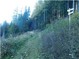 13
13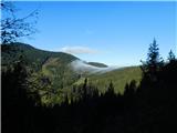 14
14 15
15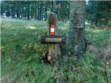 16
16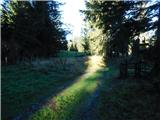 17
17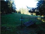 18
18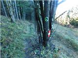 19
19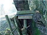 20
20 21
21 22
22 23
23 24
24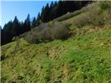 25
25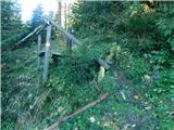 26
26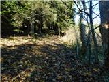 27
27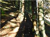 28
28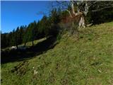 29
29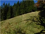 30
30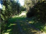 31
31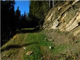 32
32 33
33 34
34 35
35 36
36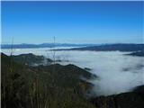 37
37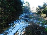 38
38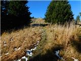 39
39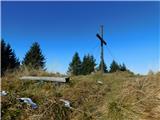 40
40 41
41