Starting point: Straßegg (1170 m)
Starting point Lat/Lon: 47.38978°N 15.53077°E 
Time of walking: 2 h 30 min
Difficulty: easy unmarked way
Difficulty of skiing: no data
Altitude difference: 361 m
Altitude difference (by path): 450 m
Map:
Access to starting point:
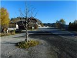
From the border crossing Šentilj we continue driving on the highway towards Gradec / Graz and forward towards Linz and Salzburg. Highway A9 we soon leave and we continue driving slightly right in the direction towards Dunaj / Wien and we continue driving on the highway S35. The mention we leave the highway at exit for Mixnitz, and then at the roundabout we go to the exit in the direction of Teichalm. Further, we still follow the signs for Teichalm. At the end of the settlement St. Erhard, a road branches off to the right towards Teichalm, and we continue straight, following the signs for Straßegg, Hartberg, Birkfeld, and Gasen. The road then starts to ascend considerably, and we drive to the mountain pass Straßegg, where the guesthouse Stroßeggwirt is also located. The designated parking lot by the inn is intended for inn guests, so we park in an appropriate place nearby.
Path description:
From the mountain pass, we follow the path towards Sommeralm and Teichalm, initially walking on a macadam road that soon leads us to a spot with several crosses. Križe we bypass on the left, continuing on a cart track, which we leave after crossing a grazing fence, proceeding slightly left on a steeper footpath. After a few minutes, we exit the forest, with beautiful views opening up to the right and behind. Next follows a forested ascent and a higher crossing of a rough forest road, which we later return to. We continue on the road, which soon begins descending; before the fence, we veer slightly left onto a footpath. Next comes a short passage through the forest, and after a cross, we leave the forest, followed by a brief, steeper descent on a grassy slope. The path then leads to a cart track, which, near the Pöllabauerkreuz cross, joins a macadam road.
After a few minutes, when the road enters the forest, we take a marked cart track that ascends steeply, continuing straight at several crossings.
When we reach the southeastern slopes of the mountain Zechnerschlag (Rohregg), we exit the forest and, with a gentle descent, arrive at a nearby road and, a few dozen steps further, the cottage on the mountain pasture Haberlstall Alm.
From the mountain pasture, we head south, and after a short ascent, the path splits. We bear slightly left, following signs for Sommeralm (slightly right for Heulantsch), then diagonally ascend on a cart track. Upon reaching a panoramic grassy ridge, we continue straight (right for Heulantsch), then moderately descend to the next crossing, where we turn left (right for Teichalm).
We proceed in the direction of Sommeralm, and the path on the other side of an indistinct saddle splits once more.
We continue slightly right (slightly left to Stoakogelhütte cottage), then follows a diagonal ascent through a strip of forest. When the forest ends at a few crossings, we continue straight, or follow the signs for Sommeralm; a wind power plant can also aid in orientation.
From the crossing at the wind power plant, we continue left towards the summit of Plankogel and the cottage Stoakogelhütte (right Sommeralm) and bypass the wind power plant on the left side. Next follows a shorter crossing, then we leave the marked path leading towards the cottage Stoakogelhütte and turn left onto an unmarked but well-trodden path that starts ascending a grassy slope upwards. Higher up, we cross a grazing fence, followed by a few minutes of moderate ascent to the cross at the mountain's summit.
Straßegg - Haberlstall Alm 1:25, Haberlstall Alm - Plankogel 1:05.
Description and pictures refer to the condition in November 2023.
Pictures:
 1
1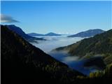 2
2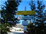 3
3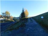 4
4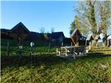 5
5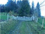 6
6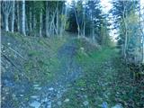 7
7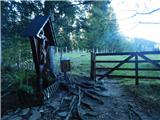 8
8 9
9 10
10 11
11 12
12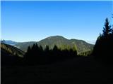 13
13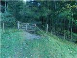 14
14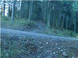 15
15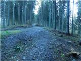 16
16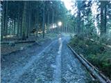 17
17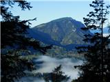 18
18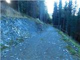 19
19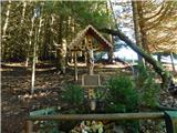 20
20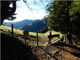 21
21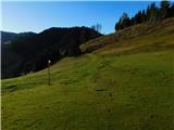 22
22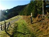 23
23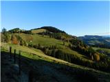 24
24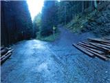 25
25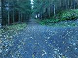 26
26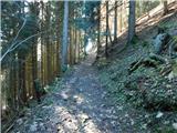 27
27 28
28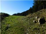 29
29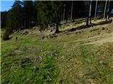 30
30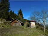 31
31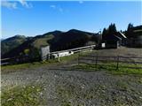 32
32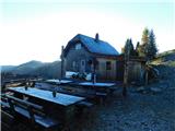 33
33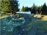 34
34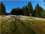 35
35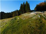 36
36 37
37 38
38 39
39 40
40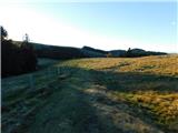 41
41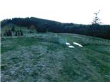 42
42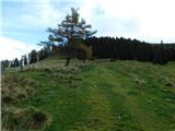 43
43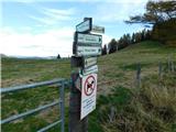 44
44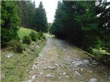 45
45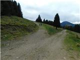 46
46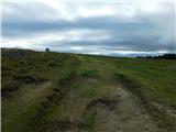 47
47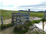 48
48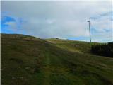 49
49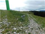 50
50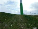 51
51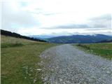 52
52 53
53 54
54 55
55 56
56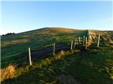 57
57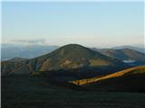 58
58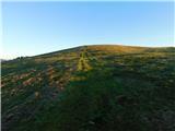 59
59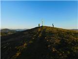 60
60 61
61