Stražišče - Leskovica (above Stražišče)
Starting point: Stražišče (865 m)
Starting point Lat/Lon: 45.842°N 14.3976°E 
Time of walking: 20 min
Difficulty: easy unmarked way
Difficulty of skiing: no data
Altitude difference: 82 m
Altitude difference (by path): 82 m
Map: Snežnik 1:50.000
Access to starting point:
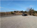
A) We drive on Rakitna, and then we continue driving towards Cerknica. After the settlement Pikovnik, the road starts descending steeper, and then we are driving through the settlement Kržišče, Beč, Župeno and Gorenje Otave. Even a little further, we leave the main road which leads towards Begunje pri Cerknici and we continue driving straight on a side road in the direction of the settlement Stražišče. We bypass Stražišče on the right bypass road, and when both roads join again, we continue straight and after few 10 meters we park on an appropriate place by the road.
B) We drive to Cerknica, and then we continue driving in the direction of Begunje pri Cerknici and forward towards Rakitna. From a quite winding road towards Rakitnik, higher we turn left in the direction of the settlement Stražišče. We bypass Stražišče on the right bypass road, and when both roads join again, we continue straight and after few 10 meters we park on an appropriate place by the road.
Path description:
From the parking lot, we return on an asphalt road to a bus stop, where the road branches off, which leads to the settlement, and we continue on the left road which bypasses the settlement. We soon get to the spot, where the cart track branches off to the left, which starts ascending through a small valley. We at first walk through a narrower lane of a forest, and higher on an ample pastures. When the cart track starts vanishing, in front of us on the top of Leskovica we already notice a column of a high voltage power line, which further shows the right path. To the top, which is situated few meters before the mentioned column and on which there is a trigonometric point, we have only few minutes of easy pathless terrain with nice views on Snežnik, Javorniki, Nanos and Kamnik Savinja Alps.
Description and pictures refer to a condition in the year 2016 (December).
Pictures:
 1
1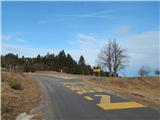 2
2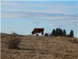 3
3 4
4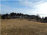 5
5 6
6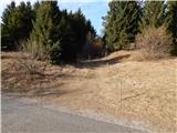 7
7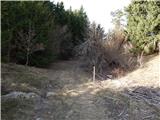 8
8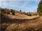 9
9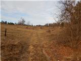 10
10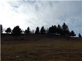 11
11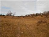 12
12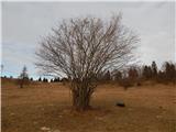 13
13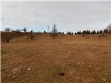 14
14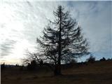 15
15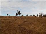 16
16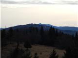 17
17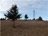 18
18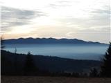 19
19 20
20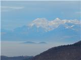 21
21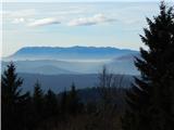 22
22