Studenice - Dom na Boču (by road)
Starting point: Studenice (260 m)
Starting point Lat/Lon: 46.2999°N 15.6138°E 
Path name: by road
Time of walking: 2 h
Difficulty: easy marked way
Difficulty of skiing: no data
Altitude difference: 398 m
Altitude difference (by path): 500 m
Map: Posavsko hribovje Boč - Bohor 1:50.000
Access to starting point:
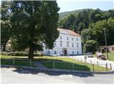
A) From the direction of Ljubljana we leave the highway at Slovenske Konjice and through Žiče, Loče and Zbelovo we get to the center of Poljčane. In the center, we turn right in the direction of Studenice and after about three kilometers we reach Studenice, where we continue right across the bridge over the river Dravinja into the main part of the settlement. In front of the monastery complex we safely park.
B) From the direction of Maribor we leave the highway at Slovenska Bistrica, where signs point us to Poljčane. In the center, we turn left in the direction of Studenice and after about three kilometers we reach Studenice, where we continue right across the bridge over the river Dravinja into the main part of the settlement. In front of the monastery complex we safely park.
C) From the direction of Ptuj, Kidričevo through Ptujska gora, Majšperk and Makole we get to Studenice, where we continue left across the bridge over the river Dravinja into the main part of the settlement. In front of the monastery complex we safely park.
Path description:
After a short tour of the main part of Studenice, we continue left from the monastery complex by the parish house. In the passage/underpass between the parish house and the winegrowers' association Studenice we continue upwards on a cart track alongside a stone wall and the nuns' cemetery. We soon reach the source(s) of the Topli studeniški stream, which is(are) left of the path, and across a narrow footbridge we cross the stream. We continue upwards, now on the old Roman road, which through long centuries has retained the original form of the basic path higher up to Boč. At the exit onto the forest road we turn left; right leads the road to the settlement Podboč or Zgornje Poljčane.
We follow the forest road and at the first larger crossroads/junction we continue right; left leads the road in the direction of Makole. Further on, we reach the log cabin of the hunters LD Poljčane at Golnik to the right of the road. We continue along the road, which flattens out for a few meters. After a short flat section we continue uphill and soon reach another junction, where we continue left onto a narrower forest road; right the path continues towards the tower on Boč. Along the narrower forest road between Kisovec to the left and Drevesnica to the right we soon reach the approximately 645-meter-high pass above Formila. We continue downhill; Formila is already visible to our right, and from the left a marked hiking path from Makole soon joins us.
Formila is reached and a short extension follows to the junction: left to the partisan hospital, Gaveza, Grilova kapela, Plešivec... and right to the mountain hut Dom na Boču. The junction is also the connection with the Štajerska-zagorska or "B" - Bratska pot.
After a short tour of Formila we continue right in the direction of the mountain hut Dom na Boču. We follow the well-compacted forest road through the forest. Further on, a forest road joins steeply from below from the direction of Rogaška Slatina from the left, as does the direct hiking path from the hunting lodge Rogaška Slatina and Gaveza. Soon, after a few dozen meters, we reach a new junction and continue right; straight ahead is the direction to Kostrivnica. We continue and reach another junction, where we go left onto the classic forest hiking path, which we follow through the forest. Soon on a grassy clearing and before the building under construction, which is uphill to the right, and immediately left again onto the forest road. We follow the forest road and at the pass we reach the highest point of the path today... 727 meters. A gentle descent follows downhill and then another short ascent past the former refreshment hut Drevenik to the left of the path. A few more steps and we reach the asphalt road and an important junction. Many options for possible continuations, but today right and downhill past a small abandoned quarry to the right of the path. Soon afterwards, to the left of the path we reach the church of St. Miklavž on Boč and to the right the end of the path... the hut of the mountaineers PD Poljčane on Boč.
The path from Studenice "po cesti" measures about 8500 meters, 500 positive elevation meters and 80 negative elevation meters.
Pictures:
 1
1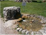 2
2 3
3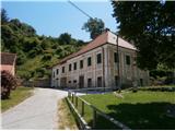 4
4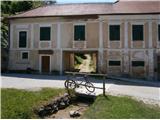 5
5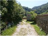 6
6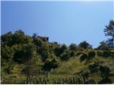 7
7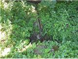 8
8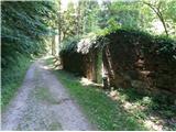 9
9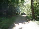 10
10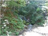 11
11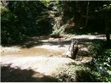 12
12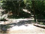 13
13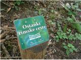 14
14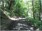 15
15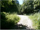 16
16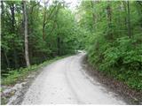 17
17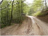 18
18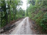 19
19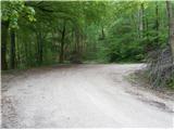 20
20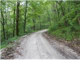 21
21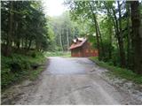 22
22 23
23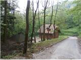 24
24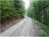 25
25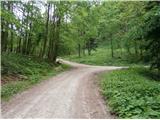 26
26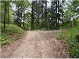 27
27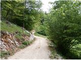 28
28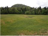 29
29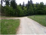 30
30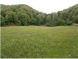 31
31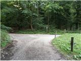 32
32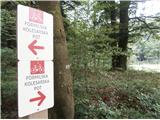 33
33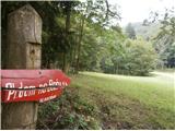 34
34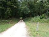 35
35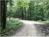 36
36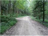 37
37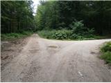 38
38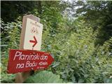 39
39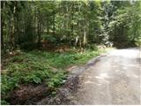 40
40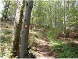 41
41 42
42 43
43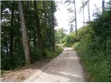 44
44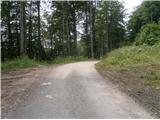 45
45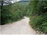 46
46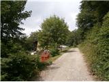 47
47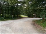 48
48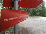 49
49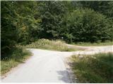 50
50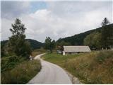 51
51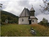 52
52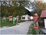 53
53