Suhi Dol - Marinčeva planina (Hrib)
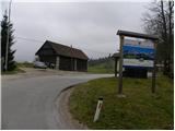
Starting point: Suhi Dol (681 m)
Starting point Lat/Lon: 46.0502°N 14.2013°E 
Time of walking: 35 min
Difficulty: easy pathless terrain
Difficulty of skiing: no data
Altitude difference: 124 m
Altitude difference (by path): 135 m
Map: Škofjeloško in Cerkljansko hribovje 1:50.000
Access to starting point:
First, we drive to Horjul (to here from Dobrova at Ljubljana or Vrhnika), and then we continue driving towards Vrzdenec, Šentjošt and Gorenja vas. At Vrzdenec the road starts ascending steeper, and then a little further it brings us to hairpin turn, in the middle of which road branches off to the left towards Šentjošt and Smrečje. We continue right on the main road, and it soon brings us on a small saddle, at the end of which road branches off to the right towards the village Samotorica. We continue straight, and the road starts steeply descending and after a short descent it brings us to a hamlet Ljubljanica (bottom part of Butajnova), where we come to the next crossroad. We continue left in the direction of Gorenja vas and we follow the road to Suhi Dol, where we park on an appropriate place.
To the starting point, we can come also from the direction Polhov Gradec and Gorenja vas.
Path description:
By the bus stop in Suhi Dol, we will notice signs for Planina, which point us to the right on the road which soon splits into two parts. We continue on the right marked road (both roads higher join), which leads us on a little steeper road, among houses in the village. Above the village, both roads join, and we follow it to the right, where it quickly pass into the forest. Further, we are ascending for some time through the forest and then we pass on panoramic meadows. A short ascent follows and the road brings us to the smaller crossroad, where we continue on the right road in the direction of Butajnova (left Zalog and Črni Vrh). The road then crosses slopes below the summit, on which there is church of St. Andrej and leads us past a smaller hamlet. When the hamlet ends, also the asphalt ends, and we follow the macadam road to the nearby religious symbol (cross), in front of which we go right on the pasture.
We then cross a grazing fence (in the time of grazing it is forbidden to pass it, and also in the winter time, when the pasture is usually empty, we have to be careful, that we don't make damage on undergrowth) and we in 5 minutes ascend to the top of Marinčeva planina (from the spot when we leave the road we walk on pathless terrain or pasture).
Pictures:
 1
1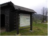 2
2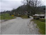 3
3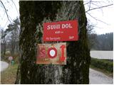 4
4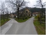 5
5 6
6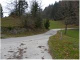 7
7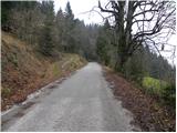 8
8 9
9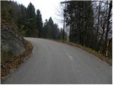 10
10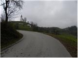 11
11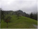 12
12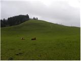 13
13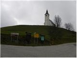 14
14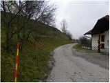 15
15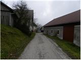 16
16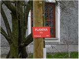 17
17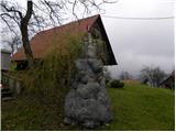 18
18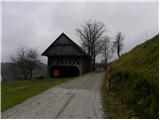 19
19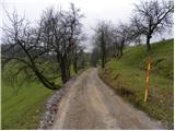 20
20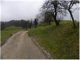 21
21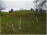 22
22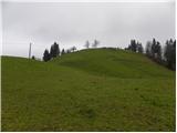 23
23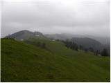 24
24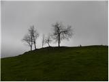 25
25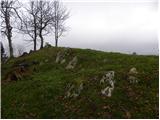 26
26 27
27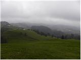 28
28