Šujica (Na Gmajni) - Toško Čelo (along the stream Ostrožnik)
Starting point: Šujica (Na Gmajni) (316 m)
Starting point Lat/Lon: 46.0662°N 14.4134°E 
Path name: along the stream Ostrožnik
Time of walking: 55 min
Difficulty: easy unmarked way
Difficulty of skiing: no data
Altitude difference: 274 m
Altitude difference (by path): 275 m
Map: Ljubljana - okolica 1:50.000
Access to starting point:
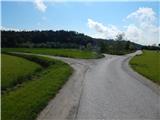
A) We drive to Dobrova (to here from Ljubljana, Brezovica pri Ljubljani or Podutik over the mountain pass Preval), and then we continue driving in the direction of Polhov Gradec. At the sign for the end of the settlement Šujica we turn right, and after few 10 meters in the triangular crossroad we turn right. We drive about 30 more meters and then we turn on the first road which turns left. By the mentioned road which past a hayrack brings us into the forest, we park on an appropriate place.
B) From Polhov Gradec we drive towards Ljubljana, and then at the sign, which marks the beginning of the settlement Šujica we turn left. After few 10 meters we get to the triangular crossroad, where we go right. We drive about 30 more meters and then we turn on the first road which turns left. By the mentioned road which past a hayrack brings us into the forest, we park on an appropriate place.
Path description:
The road by which we park goes a little after the hayrack in the forest and then it is almost unnoticeably ascending by the stream Ostrožnik, and by it is stretching a longer meadow. We then cross the mentioned stream and immediately after that, at the smaller crossroad we continue right, so that the mentioned meadow we see from its end, and we also see archery site. Here the road turns a little to the left and changes into a cart track, and it continues by the smaller stream. For some time we are gently ascending by a small stream and then we are choosing the right cart tracks (first two, which continue towards the left continue by the stream, there we get to the site of a wild garlic, and the third leads to the near hunting observatory, and all three soon end).
Cart track, on which we continue the ascent becomes steeper, at the smaller older abandoned quarry turns right and it ascends on a small saddle, where we continue left. We continue on a worse cart track which leads us on an indistinct ridge and when the cart track from the mentioned ridge withdraws to the right and it widens, we leave it and we continue left on an easy to follow, but further also quite overgrown footpath which continues on a more and more distinct ridge. Next follows few minutes of a steep ascent, where the path here and there gets interrupted by some fallen trees (mostly consequences of sleet in the year 2014). Higher, we cross another cart track, and then we join one of the marked paths, which leads from the saddle Preval towards Toško Čelo. Some 10 strides higher we step on an asphalt road, and we walk there approximately a minute, and then we continue on a footpath which from the road branches off slightly to the right. We for a short time still continue on the ridge and then the path turns slightly to the right and it brings us to the hunting cottage on Toško Čelo.
Description and pictures refer to a condition in the year 2016 (May).
Pictures:
 1
1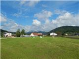 2
2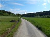 3
3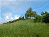 4
4 5
5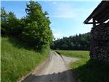 6
6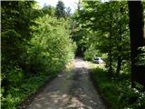 7
7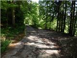 8
8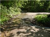 9
9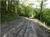 10
10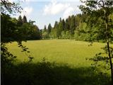 11
11 12
12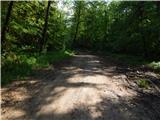 13
13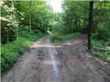 14
14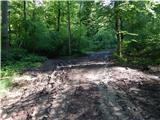 15
15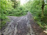 16
16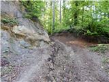 17
17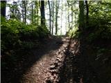 18
18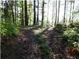 19
19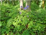 20
20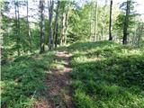 21
21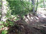 22
22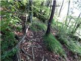 23
23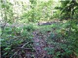 24
24 25
25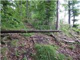 26
26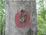 27
27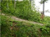 28
28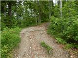 29
29 30
30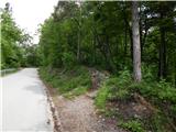 31
31 32
32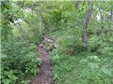 33
33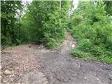 34
34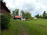 35
35 36
36