Starting point: Svečina (293 m)
Starting point Lat/Lon: 46.66545°N 15.58851°E 
Time of walking: 1 h 35 min
Difficulty: easy marked way
Difficulty of skiing: no data
Altitude difference: 217 m
Altitude difference (by path): 350 m
Map:
Access to starting point:
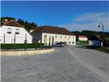
We drive to the Pesnica roundabout and take the exit for Lenart. We quickly leave the road towards Lenart in the Slovenske gorice and continue right in the direction of Zgornje Kungote and Dolnje Počehove; still before reaching the expressway, we turn right once again in the direction of Zgornje Kungote. We then drive along the main road to Zgornje Kungote, where in the middle of the settlement we turn right in the direction towards Plač and Svečina. A little further on, we leave the road towards Plač and go left towards Svečina; when we arrive in Svečina, we park in a suitable place in the center of the settlement.
Path description:
From the starting point, we head onto the road by which we arrived at the starting point; along or beside the road we walk to the nearby bus stop, where we go left onto the marked path that climbs through the meadow. When we reach the narrower asphalt road, we follow it to the left, ascending along it with nice views of the Svečinske gorice. Higher up, the path splits; we can continue straight past the farm where the control stamp is located, or go right already before the farm. Behind the farm, both paths join and we arrive at a smaller ridge, where we go left (right Kopica (423 m) - 5 minutes). A slight ascent follows, then the road begins to descend; still at the beginning of the descent, we go left from the road onto the macadam road, from which a temporary view opens towards Plački vrh. To Pesjak (433 m) some ascent follows, then we mostly descend; below Svečinski vrh the path turns right and we briefly cross the slopes to the right; before the Vrezner farm the path splits again.
We continue straight, or also right downhill past the mentioned farm; lower down both paths join, and we continue towards Plački vrh.
The path ahead leads us along a grassy cart track; when we arrive in the forest the path splits once again. We continue right on the overgrown marked path (slightly left border panoramic path), which brings us lower to the farm (also possible to here if we first continue on the panoramic path and from the place where the border panoramic path turns left, we continue straight); after the farm at the junction we go onto the left cart track that climbs beside the field. Higher we reach the asphalt road, which we follow to the right, and along it we begin to ascend; when higher we reach a somewhat wider road, we go right, then a little further left onto the road leading towards Plački vrh. A few minutes of steeper ascent follow with occasional nice views; at the right bend the border panoramic path rejoins us. We continue along the asphalt road to the left bend, from which we go straight onto the path that climbs through the forest on steps; when we leave the forest we already reach Plački vrh, where there is a 28 m high lookout tower.
Description and pictures refer to the state in August 2022.
On the way: Pesjak (433m)
Pictures:
 1
1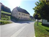 2
2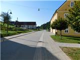 3
3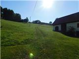 4
4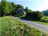 5
5 6
6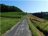 7
7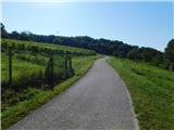 8
8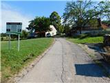 9
9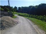 10
10 11
11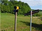 12
12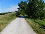 13
13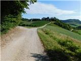 14
14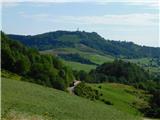 15
15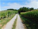 16
16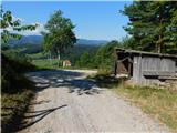 17
17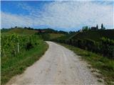 18
18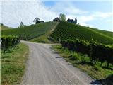 19
19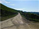 20
20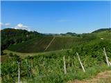 21
21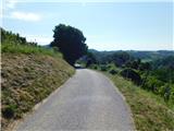 22
22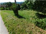 23
23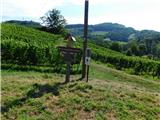 24
24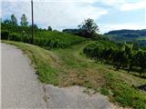 25
25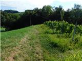 26
26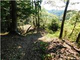 27
27 28
28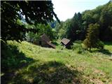 29
29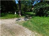 30
30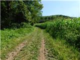 31
31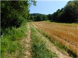 32
32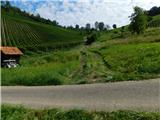 33
33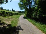 34
34 35
35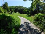 36
36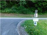 37
37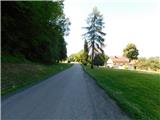 38
38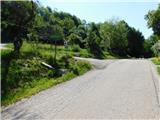 39
39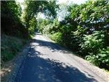 40
40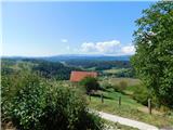 41
41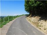 42
42 43
43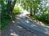 44
44 45
45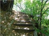 46
46 47
47 48
48 49
49