Starting point: Sveta Trojica (527 m)
Starting point Lat/Lon: 46.1188°N 14.6805°E 
Time of walking: 45 min
Difficulty: easy marked way
Difficulty of skiing: no data
Altitude difference: 216 m
Altitude difference (by path): 216 m
Map:
Access to starting point:
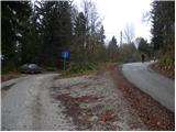
A) From highway Ljubljana - Maribor, we go to the exit Domžale, and then we continue left towards Gorjuša. When we get to Gorjuša, we will at the crossroad with a priority road turn right in the direction of Sveta Trojica, to which we have approximately 6 km of driving. Further, we drive through the village Spodnja Brezovica, Žeje and Sveta Trojica. Through Sveta Trojica, we follow the signs for Murovica, and on a little narrower road we drive almost to the end of the village, where we park at a smaller crossroad by a religious symbol.
B) From highway Maribor - Ljubljana, we go to the exit Krtina, and then we continue driving in the direction of Moravče. At the end of the Krtina, more precisely at the settlement Brezje pri Dobu, we leave the main road and we continue right towards Gorjuša and Sveta Trojica. Immediately after few houses, the road splits into two parts, and we choose the left, which leads us through a lane of a forest and then through Raško polje we drive to the village Rača and Račni Vrh. A little after Račni Vrh, we join the road from Gorjuša, which we follow to the left, and we are driving there almost to the end of the village Sveta Trojica, where we park at the smaller crossroad by a religious symbol.
Path description:
From the crossroad at the religious symbol, we continue on the upper right still asphalted road which is moderately ascending through the forest. We soon get to a smaller crossing, where a path branches off sharply to the right towards the ruins of the nearby castle and castle well. Here we continue straight and the road which brings us out of the forest, we follow to a hamlet of few holiday cottages, where there is also a smaller parking lot and hiking signposts.
From the signposts, we continue on a marked hiking path in the direction of Murovica and Cicelj. The path ahead at first continues along the fence, and then gradually passes into a dense forest, through which it is mostly moderately ascending. Higher, the path turns a little to the right, and from the left joins also a marked path from the village Zgornja Javoršica. Here we continue straight and after two minutes of additional walking, we get to the top of Murovica, where there are quite a few wooden benches.
Pictures:
 1
1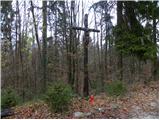 2
2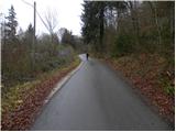 3
3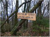 4
4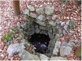 5
5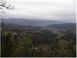 6
6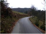 7
7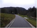 8
8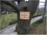 9
9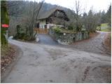 10
10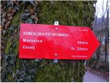 11
11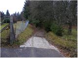 12
12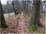 13
13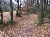 14
14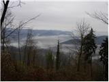 15
15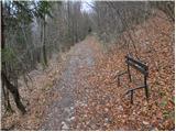 16
16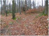 17
17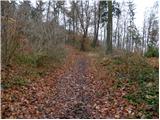 18
18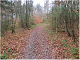 19
19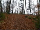 20
20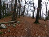 21
21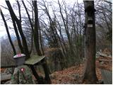 22
22 23
23