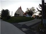
Sveti Trije Kralji v Slovenskih goricah - Sveta Trojica v Slovenskih goricah
Starting point: Sveti Trije Kralji v Slovenskih goricah (296 m)
Starting point Lat/Lon: 46.60241°N 15.89524°E 
Time of walking: 1 h
Difficulty: easy marked way
Difficulty of skiing: no data
Altitude difference: -5 m
Altitude difference (by path): 60 m
Map:
Access to starting point:
A) We leave Pomurska highway at exit Lenart v Slovenskih goricah, and then we follow the road in the direction of Gornja Radgona. In the settlement Benedikt in Slovenske gorice we turn right towards Sveta Trojica, and after approximately 1400 meters we go left towards Sveti Trije Kralji. Next follows few 100 meters more of ascent, and then we park on a parking lot below the church of Holy Three Kings.
B) We drive to Gornja Radgona, and then we follow the road in the direction of Lenart v Slovenskih goricah. In the settlement Benedikt in Slovenske gorice we turn left towards Sveta Trojica, and after approximately 1400 meters we go left towards Sveti Trije Kralji. Next follows few 100 meters more of ascent, and then we park on a parking lot below the church of Holy Three Kings.
Path description:
From the starting point, we return on the road to the first crossroad, and from there we continue straight on a side road, by which there are signs for Sveta Trojica and lake Trojiško jezero. Few 10 meters ahead we continue left, then straight, and when the road turns right and loses an asphalt covering we go straight on a grassy cart track. The cart track leads us by bushes, and by the edge of the forest it splits.
We continue on the right cart track which moderately ascends by the edge of the forest, and higher it flattens and it brings us to an asphalt road which we only cross. We continue on a narrower asphalt road which at first lightly descends, and then starts gently to moderately ascending, and occasionally leads us between the houses. On some crossroads we continue straight or we follow the main road and the blazes. Higher, we go also past the chapel Perkova kapela, and then in few minutes of additional walking, we get to Sveta Trojica, where through dense part of the settlement, we ascend to the church, which is situated on the top of the hill and from where a nice view opens up on lake Trojiško jezero.
Description and pictures refer to a condition in July 2021.
On the way: Perkova kapela (269m)
Pictures:
 1
1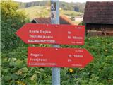 2
2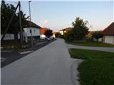 3
3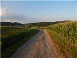 4
4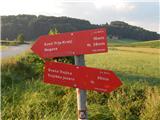 5
5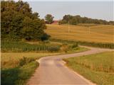 6
6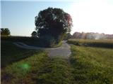 7
7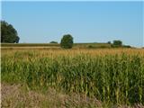 8
8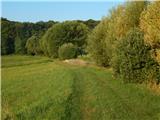 9
9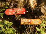 10
10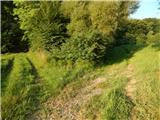 11
11 12
12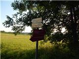 13
13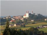 14
14 15
15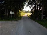 16
16 17
17 18
18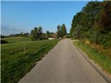 19
19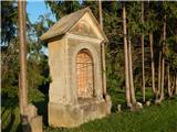 20
20 21
21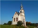 22
22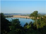 23
23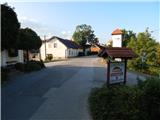 24
24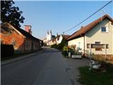 25
25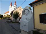 26
26 27
27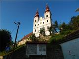 28
28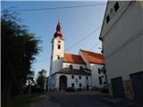 29
29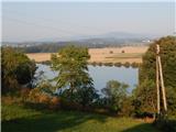 30
30