Tacen (Sveti Jurij) - Šmarna gora (Partizanska steza)
Starting point: Tacen (Sveti Jurij) (305 m)
Starting point Lat/Lon: 46.1202°N 14.4666°E 
Path name: Partizanska steza
Time of walking: 1 h
Difficulty: easy marked way
Difficulty of skiing: no data
Altitude difference: 364 m
Altitude difference (by path): 364 m
Map: Ljubljana - okolica 1:50.000
Access to starting point:
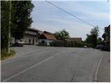
A) From the Ljubljana - Jesenice highway, take the Ljubljana - Šmartno exit, then continue driving towards Tacen. Continue along Tacenska cesta until the crossroads with Ulica bratov Novak, where our path begins. At the crossroads there is a bus stop (stop no. 804151) and a few meters away the church of St. Jurij. There are no suitable parking spots at the starting point.
B) From Celovška cesta in Ljubljana, just after the entry to the Gorenjska highway, the road to Vižmarje and Tacen branches off to the right (if coming from the Medvode side, just before the highway entry, continue left). Continue driving towards Tacen, then immediately after crossing the bridge over the Sava River, turn right towards Šmartno. Continue along Tacenska cesta until the crossroads with Ulica bratov Novak, where our path begins. At the crossroads there is a bus stop (stop no. 804151) and a few meters away the church of St. Jurij. There are no suitable parking spots at the starting point.
C) The starting point can also be reached by city bus LPP No. 8.
Path description:
At the bus stop, we notice signs for the Romarska pot to Šmarna gora, which direct us onto a slightly ascending road. The path initially leads along Ulica bratov Novak, then just after the water trough, which we notice on the left side, we leave the road and continue slightly left onto an initially wide cart track. After a short ascent, the cart track splits into two parts; we choose the right marked cart track, which gradually begins to ascend more steeply. We continue along and beside the cart track, which leads us through the forest in a moderate ascent. Higher up, we join the path from Šmartno, and shortly afterwards we arrive at a marked junction at the chapel of Our Lady of Sorrows.
At the chapel, we continue right; the path quickly brings us to the next junction, where we continue left uphill in the direction of Partizanska steza to Šmarna gora.
From the junction onwards, the path becomes steeper and transitions to much steeper slopes, which are especially dangerous for slipping in snow and ice. Further on, we ascend in zigzags up the steep slope; the well-made and maintained path brings us after some time to a bench, from which a nice view opens towards the valley. Above the bench, the path transitions to a ridge, along which we ascend right below the summit of Šmarna gora. Here the path leaves the ridge for a slope, over which we reach the summit of Šmarna gora in a few dozen further steps.
Pictures:
 1
1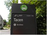 2
2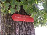 3
3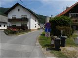 4
4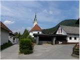 5
5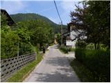 6
6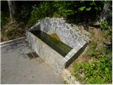 7
7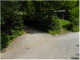 8
8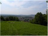 9
9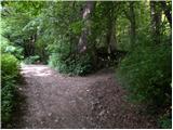 10
10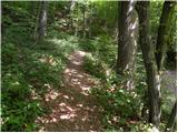 11
11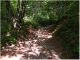 12
12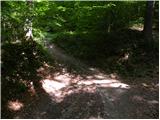 13
13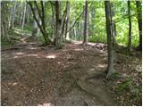 14
14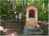 15
15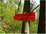 16
16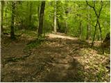 17
17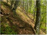 18
18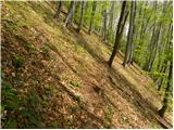 19
19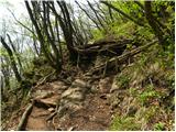 20
20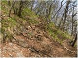 21
21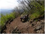 22
22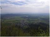 23
23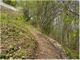 24
24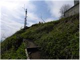 25
25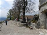 26
26 27
27