Tegoška planina - Pungartska gora
Starting point: Tegoška planina (1430 m)
Starting point Lat/Lon: 46.4313°N 14.3737°E 
Time of walking: 1 h 30 min
Difficulty: easy pathless terrain
Difficulty of skiing: no data
Altitude difference: 595 m
Altitude difference (by path): 595 m
Map: Karavanke - osrednji del 1:50.000
Access to starting point:
From the highway Ljubljana - Jesenice we take the exit Tržič (Ljubelj), and then we continue driving on the quick road towards Tržič. Here just before the gas station, we turn right and descend to the center of Tržič. We continue driving on a somewhat narrower road which through the Dolžanova soteska gorge brings us to the village Dolina and a little higher to Jelendol. Here we continue left (straight on the lower road Medvodje) and we continue driving on at first still asphalt road in the direction of the mountain pastures Kofce, Šija and Pungrat. The road then soon becomes macadam and starts to ascend steeply on an occasionally quite rough road. Higher up, the road moves away from the riverbed of the stream Dolžanka and gradually brings us into a somewhat less dense forest. Further ahead the road has a few more crossroads, and we follow the signs for Tegoška planina. We park on a smaller parking lot about 100 m before the shepherd hut on the mountain pasture Tegoška planina.
Path description:
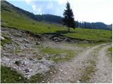
From the parking lot by a smaller torrent ditch we ascend to the edge of the forest, where we step on a marked path which leads from the mountain pasture Kofce towards the mountain pasture Dolga njiva.
Here we have two options to continue, and both run on pathless terrain.
We can choose the route which continues through the torrent ditch, where we ascend through the ditch straight upwards, and in doing so, we cross a lane of dwarf pines a few times. When after approximately 20 minutes of ascent we step above the forest belt, wide unvegetated slopes of Tegoška gora open up in front of us.
To here we can also come if at the beginning, when we step on the marked path, we follow it to the right and then, when on the left a passage through the dwarf pines opens up, we leave it. On easier pathless terrain we ascend above the lane of dwarf pines and then continue a little towards the left.
Above the treeline, or lane of dwarf pines, the slope starts to rise more steeply, and we all the time stick slightly to the left, where the slopes are a little less steep and initially also still covered with individual lanes of dwarf pines. Higher we ascend on an even steeper slope, where mainly when wet, at some spots there is also a risk of slipping on the grassy slope. Higher the slope flattens a little again, and with increasingly beautiful views we ascend to the main ridge of Košuta, where we reach the marked ridge path.
When we reach the mentioned path we follow it to the left (right Tegoška gora), and it starts to ascend steeply along the border ridge. We follow this path, which on some spots is also exposed, all the way to the panoramic grassy peak of Pungartska gora.
Pictures:
 1
1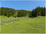 2
2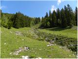 3
3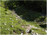 4
4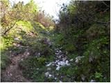 5
5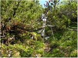 6
6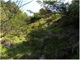 7
7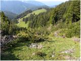 8
8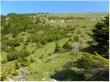 9
9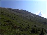 10
10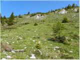 11
11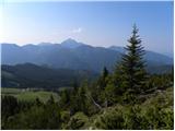 12
12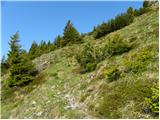 13
13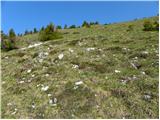 14
14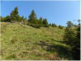 15
15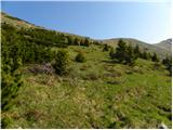 16
16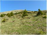 17
17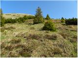 18
18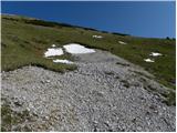 19
19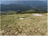 20
20 21
21 22
22 23
23 24
24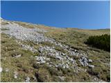 25
25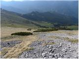 26
26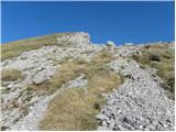 27
27 28
28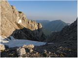 29
29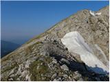 30
30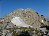 31
31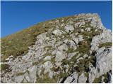 32
32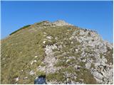 33
33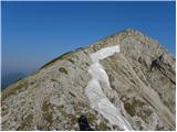 34
34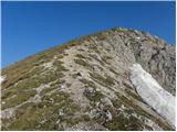 35
35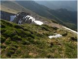 36
36 37
37 38
38