Teichalm (Harrerhütte) - Osser
Starting point: Teichalm (Harrerhütte) (1198 m)
Starting point Lat/Lon: 47.34955°N 15.48833°E 
Time of walking: 1 h 35 min
Difficulty: easy marked way
Difficulty of skiing: no data
Altitude difference: 350 m
Altitude difference (by path): 355 m
Map:
Access to starting point:
From the border crossing Šentilj we continue driving on the highway towards Gradec / Graz and forward towards Linz and Salzburg. We soon leave Highway A9 and continue driving slightly to the right in the direction of Vienna/Wien on the highway S35. We exit the highway at the Frohnleiten exit, then follow the signs for Weiz and Rechberg. After the settlement Tulwitz, we turn left towards Teichalm. The road ascends through a few more settlements, then flattens as we reach the Teichalm plateau. We drive to the inn Almgashof Angerwirt, where we turn right towards the settlement Sommeralm. A little further, we arrive at the cottage Harrerhütte, where we park in a parking lot near the cottage.
Path description:
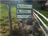
From the starting point, we continue on the macadam road, which gently ascends alongside the stream Mixnitzbach, making several interesting turns on a fairly flat section (similar to below Triglav on Malo polje). A little further, at a small crossroad, we continue straight, and upon entering the forest, we veer slightly left. When we leave the forest again, a marked path from the inn Holzmeister joins from the left, but we continue right, staying briefly alongside the stream before moving away from it and ascending moderately to the crossing at the cross Schwoabauerkreuz.
We turn sharply right (left Sommeralm, straight to the source of Raba / Raabursprung and Passail) and begin ascending a grassy slope. A little further, we cross a grazing fence, and the path becomes slightly steeper. The path ahead leads us past a wooden cottage, which we bypass on the left side, and we begin ascending diagonally to the left, where the path follows a cart track. Higher up, signs direct us to the right onto a marked pathless terrain, where we steeply ascend to the edge of the forest, and after crossing a grazing fence, a footpath reappears. The path ahead becomes quite steep and mostly leads through the forest. After the second crossing of a rough road, the path gradually flattens, and the forest starts to thin out. This is followed by a short, easy ascent, and we arrive at a panoramic summit where a cross stands.
Description and pictures refer to the condition in November 2023.
On the way: Schwoabauerkreuz (1245m)
Pictures:
 1
1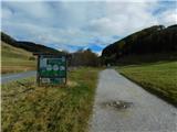 2
2 3
3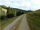 4
4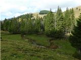 5
5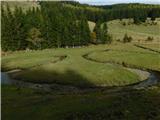 6
6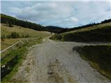 7
7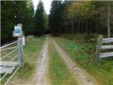 8
8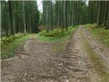 9
9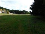 10
10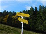 11
11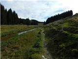 12
12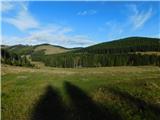 13
13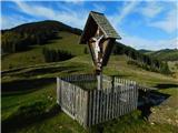 14
14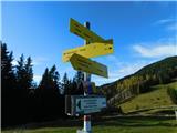 15
15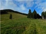 16
16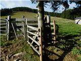 17
17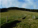 18
18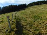 19
19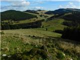 20
20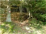 21
21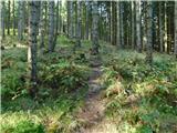 22
22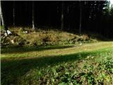 23
23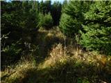 24
24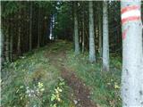 25
25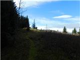 26
26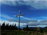 27
27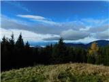 28
28