Teichalm (Teichalmsee) - Breitalm
Starting point: Teichalm (Teichalmsee) (1172 m)
Starting point Lat/Lon: 47.35034°N 15.46031°E 
Time of walking: 1 h 35 min
Difficulty: easy marked way
Difficulty of skiing: no data
Altitude difference: 73 m
Altitude difference (by path): 73 m
Map:
Access to starting point:
From the border crossing Šentilj we continue driving on the highway towards Gradec / Graz and forward towards Linz and Salzburg. Highway A9 we soon leave and we continue driving slightly right in the direction towards Dunaj / Wien and we continue driving on the highway S35. The mention we leave the highway at exit for Mixnitz, and then at the roundabout we go to the exit in the direction of Teichalm. Further, we still follow the signs for Teichalm. At the end of the settlement St. Erhard we once again turn right towards Teichalm, and then we start ascending steeply. When we reach the mountain pasture Breitalm we gradually start descending, and we follow the road to the parking lot at the lake Teichalmsee.
Path description:
From the parking lot, we walk to the inn Almgasthof Zum Teichwirt, which we bypass on the right side, and then we proceed onto a macadam road, along which there are signs for Heulantsch, Sommeralm, St. Erhard in Breitenau. Next follows the traversing of a narrow strip of forest, and then the path splits.
On the right road, the path continues towards Sommeralm and Heulantsch, but we go slightly left onto a footpath that continues between both roads. The path ahead begins to gently ascend and crosses a grazing fence. Further, we ascend diagonally across the expansive mountain pasture Breitalm, and along the marked path, we walk until reaching the junction with an asphalt road, where we notice a small stable on the left.
The description and pictures refer to the condition in June 2025.
Pictures:
 1
1 2
2 3
3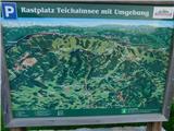 4
4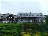 5
5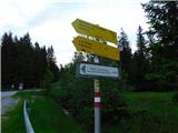 6
6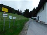 7
7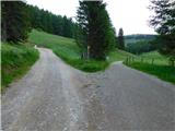 8
8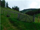 9
9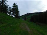 10
10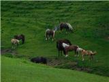 11
11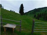 12
12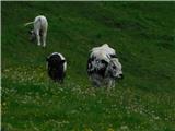 13
13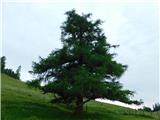 14
14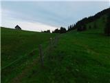 15
15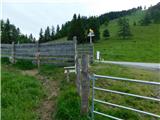 16
16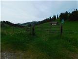 17
17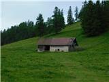 18
18