Teichalm (Teichalmsee) - Rote Wand (lower path)
Starting point: Teichalm (Teichalmsee) (1172 m)
Starting point Lat/Lon: 47.35034°N 15.46031°E 
Path name: lower path
Time of walking: 2 h 15 min
Difficulty: easy marked way
Difficulty of skiing: no data
Altitude difference: 333 m
Altitude difference (by path): 405 m
Map:
Access to starting point:
From the border crossing Šentilj we continue driving on the highway towards Gradec / Graz and forward towards Linz and Salzburg. Highway A9 we soon leave and we continue driving slightly right in the direction towards Dunaj / Wien and we continue driving on the highway S35. The mention we leave the highway at exit for Mixnitz, and then at the roundabout we go to the exit in the direction of Teichalm. Further, we still follow the signs for Teichalm. At the end of the settlement St. Erhard we once again turn right towards Teichalm, and then we start ascending steeply. When we reach the mountain pasture Breitalm we gradually start descending, and we follow the road to the parking lot at the lake Teichalmsee.
Path description:
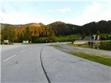
From the parking lot, we walk to the inn Almgasthof Zum Teichwirt, where we notice the first yellow hiking signposts. We go on the path in the direction of the summit Hochlantsch, and behind the buildings the path splits.
We choose the slightly left path in the direction of the summit Rote Wand, the cottage Zum Guten Hirten, and the gorge Bärenschützklamm. The path ahead at first leads through a larger meadow, and then passes into the forest, where it is lightly descending by the stream Mixnitzbach. Further, we reach a crossing where we leave the road and continue left over a small bridge, beside which are signs for the footpath to Tyrnaueralm and Rote Wand (straight ahead leads a few minutes longer path along the road and the path towards the cottage Zum Guten Hirten and the summit Hochlantsch).
We continue over the small bridge, then proceed along the edge of the pasture, with the path mostly leading through the outskirts of the forest. Higher up, we return to the road where the blazes reappear, and we continue through a small grassy valley. Higher up, at the edge of the forest, the path turns right and moves onto a slope, where it leads through a mostly coniferous, partly larch forest. Further, we follow a wider macadam road, which we follow to the cottage Tyrnauer Almhütte.
Before the cottage, we turn sharply right in the direction of the summit Rote Wand, where we briefly walk along a scenic road, then veer slightly right onto a footpath toward the summit Rote Wand. A little further, we go slightly right (slightly left is the base of the Rote Wand cliffs and the Rote Wand parking lot); a bit higher, we veer slightly left onto a well-trodden path, where the blazes continue (the path straight ahead is unmarked and leads over an unnamed peak on maps, or the highest point of the Tyrnauer Alm pasture). Next, we cross through the forest, gradually and mostly gently ascending. Later, we leave the forest, and upon reaching the ridge, the previously mentioned unmarked path joins from the right.
We continue straight, initially on grassy terrain, then the path veers slightly right and moves onto shady slopes, where we cross a short steep slope with the aid of a wooden fenced passage. Further, the slope flattens, and the path gradually approaches the precipitous ridge. The path ahead leads slightly right of the precipice, so it is never visibly exposed, and we follow this path to the cross and inscription box on the mountain Rote Wand.
Teichalm - Tyrnauer Almhütte 1:15, Tyrnauer Almhütte - Rote Wand 1:00.
The description refers to conditions in October 2023, with pictures from September 2002 and October 2023.
Pictures:
 1
1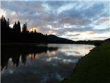 2
2 3
3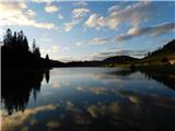 4
4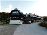 5
5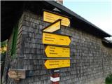 6
6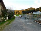 7
7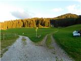 8
8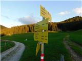 9
9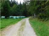 10
10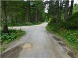 11
11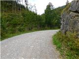 12
12 13
13 14
14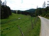 15
15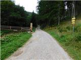 16
16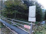 17
17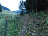 18
18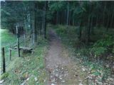 19
19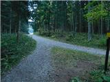 20
20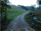 21
21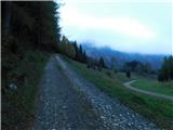 22
22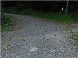 23
23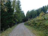 24
24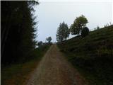 25
25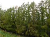 26
26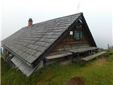 27
27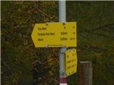 28
28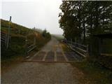 29
29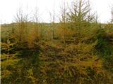 30
30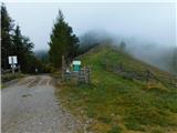 31
31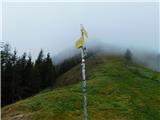 32
32 33
33 34
34 35
35 36
36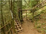 37
37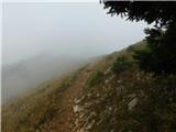 38
38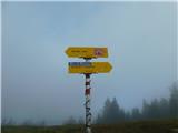 39
39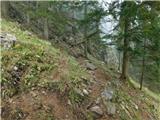 40
40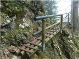 41
41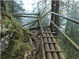 42
42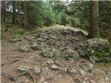 43
43 44
44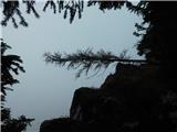 45
45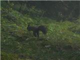 46
46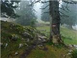 47
47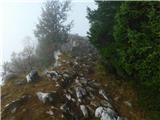 48
48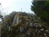 49
49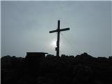 50
50