Tinčkova koča - Bielschitza/Svačica (via Zagon)
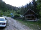
Starting point: Tinčkova koča (1070 m)
Starting point Lat/Lon: 46.4228°N 14.1991°E 
Path name: via Zagon
Time of walking: 2 h 45 min
Difficulty: easy unmarked way, partly demanding marked way
Difficulty of skiing: partly demanding
Altitude difference: 883 m
Altitude difference (by path): 883 m
Map: Karavanke - osrednji del 1:50.000
Access to starting point:
From highway Ljubljana - Jesenice we go to the exit Lesce and follow the road ahead in the direction of Žirovnica and Jesenice. After few km of driving, we will get to a crossroad, where the road in Žirovnica and Moste branches off to the right (from the direction of Jesenice left). Only few meters ahead in the next crossroad, we turn left in Moste (right Žirovnica). Further, we drive past a monument to fallen soldiers, where the road starts ascending on a hill below the railway track. On top of the slope, we turn right (at the sign Vila Karin), and then drive towards the lake Završniško jezero and Valvasorjev dom. The road then flattens and it brings us to a crossroad, where the road towards the mountain hut Valvasorjev dom branches off to the left, and we continue straight on at first still asphalt road. The road soon becomes a macadam, and we follow it to a parking lot near the mountain hut Tinčkova koča. The road in the upper part is often in quite bad condition.
Path description:
From the parking lot, we go left on a wide footpath (straight on a bad road mountain hut Koča pri izviru Završnice), which at the beginning bypasses some holiday cottages. A wide path or cart track after few minutes turns into a footpath which crosses a torrent and then steeply ascends. Steep and a little-visited path higher brings us to the hunting cottage from which a view opens up a little on surroundings.
Poorly visible path by which there are situated few smaller cairns higher joins the marked path from the mountain hut Koča pri izviru Završnice towards Stol.
We continue left and the path which is surrounded by dense bushes soon brings us to high mountain cirque, where from the right side, the path from the mountain hut Dom na Zelenici joins. We continue left in the direction of Stol on a path, which is for a short time steeply ascending, and then it brings us in plateau terrain between Svačica and Srednja peč.
Here we continue sharply right in the direction of the mountain hut Celovška koča (straight Stol). The path ahead soon steeply ascends over a shorter rocky jump, and then it flattens and it quickly brings us on a saddle Belščica, where we come on the border ridge.
Again we go right and we continue the ascent on a footpath which is ascending on a grassy slope surrounded by dwarf pines. This increasingly panoramic path, we then follow to the peak on which stands a cross.
Pictures:
 1
1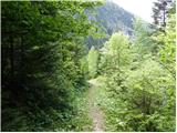 2
2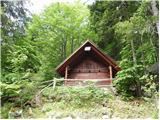 3
3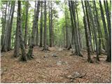 4
4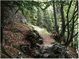 5
5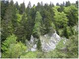 6
6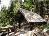 7
7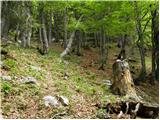 8
8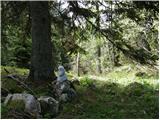 9
9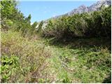 10
10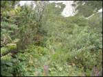 11
11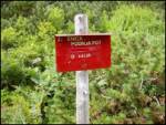 12
12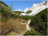 13
13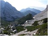 14
14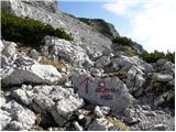 15
15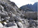 16
16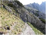 17
17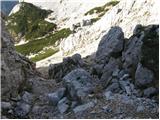 18
18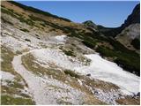 19
19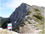 20
20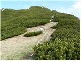 21
21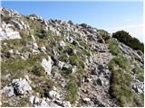 22
22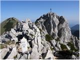 23
23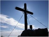 24
24