Tinčkova koča - Vertatscha/Vrtača (via Zagon)
Starting point: Tinčkova koča (1070 m)
Starting point Lat/Lon: 46.4228°N 14.1991°E 
Path name: via Zagon
Time of walking: 3 h 30 min
Difficulty: easy unmarked way, partly demanding marked way
Difficulty of skiing: no data
Altitude difference: 1111 m
Altitude difference (by path): 1111 m
Map: Karavanke - osrednji del 1:50.000
Access to starting point:
From highway Ljubljana - Jesenice we go to the exit Lesce and follow the road ahead in the direction of Žirovnica and Jesenice. After few km of driving, we will get to a crossroad, where the road in Žirovnica and Moste branches off to the right (from the direction of Jesenice left). Only few meters ahead in the next crossroad, we turn left in Moste (right Žirovnica). Further, we drive past a monument to fallen soldiers, where the road starts ascending on a hill below the railway track. On top of the slope, we turn right (at the sign Vila Karin), and then drive towards the lake Završniško jezero and Valvasorjev dom. The road then flattens and it brings us to a crossroad, where the road towards the mountain hut Valvasorjev dom branches off to the left, and we continue straight on at first still asphalt road. The road soon becomes a macadam, and we follow it to a parking lot near the mountain hut Tinčkova koča. The road in the upper part is often in quite bad condition.
Path description:
From the starting point signs for Valvasorjev dom and Stol point us to the left on a wide cart track which passes into the forest. Already after few 10 meters a marked path towards the mountain hut Valvasorjev dom and Stol turns left, and we continue slightly right, on a cart track which leads us past few more cottages. We continue on an unmarked cart track which is at first moderately, and higher relatively steeply ascending through the forest. Even a little further cart track changes into a forest footpath, and before a crossing of the torrent it splits into two parts. We continue on the bottom right path, which crosses a torrent, and then it is few minutes only moderately ascending through the forest. The path soon becomes pretty steep and on some parts a little harder to follow. The path through the valley Zagon has in the upper part some crossings, and on all of them we are choosing right turn-offs (even if we continue straight, higher we join the path which leads from the saddle Šija towards Stol, only that we reach it more to the west).
Higher, at an altitude of approximately 1500 meters, the path for some time leads right into a small valley, from which it soon withdraws a little to the right. On this part we get to another less noticeable crossing, where we go once again right, and further we are ascending diagonally with nice views on Stol, Srednja peč and surrounding mountains. Relatively easy to follow, but on parts more overgrown path, gradually flattens and returns into a small torrential valley. For a short time, we are ascending by a smaller torrent, and then we reach lower path on Stol.
We follow the mentioned path slightly right to the near decaying concrete cottage, and from there right in the direction of saddle Šija and Zelenica. Next follows a short ascent, and then the path turns left and is further ascending diagonally on northwestern slopes of Srednji vrh. After few minutes, the crossing ends, and the path brings us on a saddle Šija, where there is a marked crossing.
We continue left in the direction of Vrtača (right Srednji vrh, straight Dom pri izviru Završnice) on the path which ascends through a lane of dwarf pines and after few minutes of additional walking brings us to the upper path Zelenica - Stol.
Here we continue left in the direction of Stol, but only few steps, and then we will notice a poorly beaten footpath which continues on a slope almost straight upwards (if we don't find the turn-off of the path, we can continue also in the direction of Zelenica and we go then at the marked crossing left upwards). The path ahead starts ascending steeper and steeper and after few minutes of additional walking joins a wide marked path from Zelenica. We go left and we continue the ascent on the path which is steeply ascending towards the side ridge of Vrtača. Higher, the path turns slightly to the left, crosses a steep, partly rocky slopes and after few minutes of additional walking brings us on the before mentioned ridge, where the path turns sharply to the right (straight downwards Stol past Vatelca or Skleda).
The path ahead starts steeply ascending on quite steep and for slipping dangerous slopes. Higher, the path brings us on the main ridge of Karawanks, where it flattens. Next follows approximately 20 minutes of walking on and by the ridge, which is in parts slightly exposed, and in the entire part dangerous for slipping. This panoramic path we then follow all the way to the top of Vrtača.
Because of steep grass, mainly in wet there is a great risk of slipping.
The starting point - Šija 1:40, Šija - Vrtača 1:50.
On the way: Šija (1693m)
Pictures:
 1
1 2
2 3
3 4
4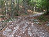 5
5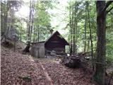 6
6 7
7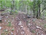 8
8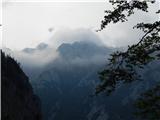 9
9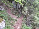 10
10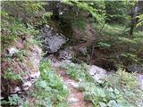 11
11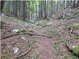 12
12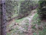 13
13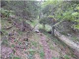 14
14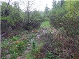 15
15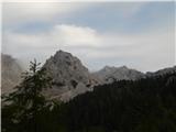 16
16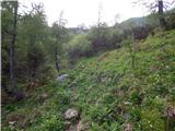 17
17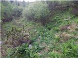 18
18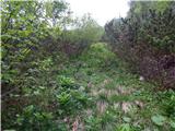 19
19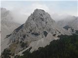 20
20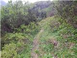 21
21 22
22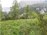 23
23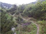 24
24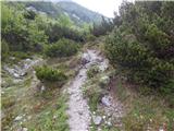 25
25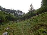 26
26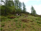 27
27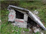 28
28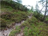 29
29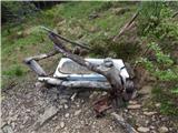 30
30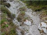 31
31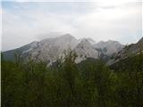 32
32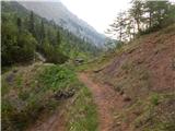 33
33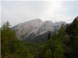 34
34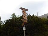 35
35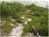 36
36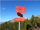 37
37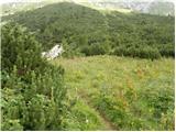 38
38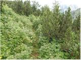 39
39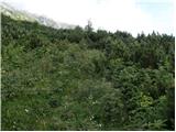 40
40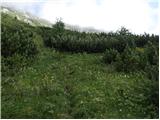 41
41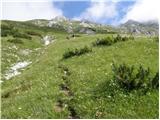 42
42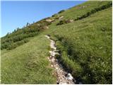 43
43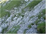 44
44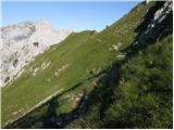 45
45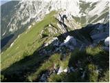 46
46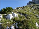 47
47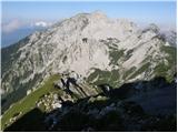 48
48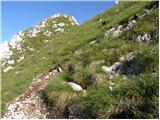 49
49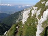 50
50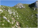 51
51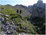 52
52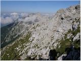 53
53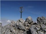 54
54 55
55