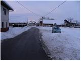
Starting point: Tomišelj (315 m)
Starting point Lat/Lon: 45.9625°N 14.4822°E 
Time of walking: 2 h 15 min
Difficulty: easy marked way
Difficulty of skiing: no data
Altitude difference: 792 m
Altitude difference (by path): 792 m
Map: Ljubljana - okolica 1:50.000
Access to starting point:
From south Ljubljana bypass highway, we go to the exit Rudnik and follow the road ahead in the direction of Ig. At the roundabout in Ig, we continue right in the direction of Iška vas, and then in the village Staje we continue right towards the village Vrbljene. In Vrbljene we go right and we continue driving to the village Tomišelj, where on a parking lot by the sports field we also park.
From highway Ljubljana - Koper we go to the exit Brezovica, and then we continue driving in the direction of Podpeč. In Podpeč we continue in the direction of village Jezero, and then we follow the signs for Tomišelj, where on a parking lot by the sports field we also park.
Path description:
From the parking lot, we at first walk to presbytery, and there we notice numerous stairs on which we quickly ascend to the church in the village. On the top of the stairs we notice signs for Krim, which point us to the right on a cart track which immediately passes into the forest. Cart track, which is moderately, only occasionally a little more steeply ascending, higher crosses some forest roads, and then joins usually better beaten path from Strahomer.
We continue slightly right in the direction of Krim (left downwards Vrbljene and Strahomer) on a little steeper cart track which higher crosses a forest road. Cart track, which all the time runs through the forest, again flattens and a little further brings us to the next crossing, where from the right side joins the path from Podpeč and Preserje. We continue on a wide, moderately steep cart track which higher brings us to a macadam road which leads on Krim. The mentioned road, we follow to the left, and it quickly brings us to a larger parking lot, or turning point, where from the left joins the path from Iški Vintgar (also the path from Iška vas and the path from Strahomer over Kramarca). Here we continue right through a meadow on the path which past a cross in few additional minutes of walking, it brings us to the summit of Krim.
Pictures:
 1
1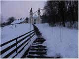 2
2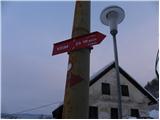 3
3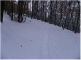 4
4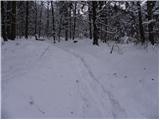 5
5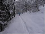 6
6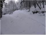 7
7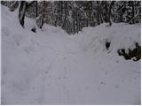 8
8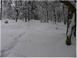 9
9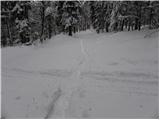 10
10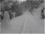 11
11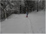 12
12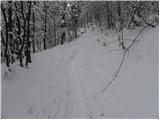 13
13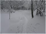 14
14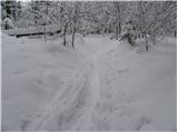 15
15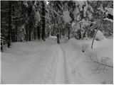 16
16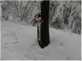 17
17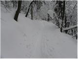 18
18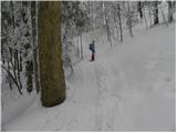 19
19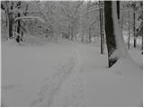 20
20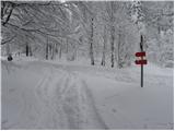 21
21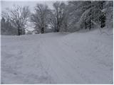 22
22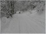 23
23 24
24 25
25 26
26 27
27 28
28