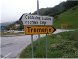
Starting point: Tremerje (242 m)
Starting point Lat/Lon: 46.2019°N 15.2362°E 
Time of walking: 1 h
Difficulty: easy marked way
Difficulty of skiing: no data
Altitude difference: 290 m
Altitude difference (by path): 315 m
Map:
Access to starting point:
Tremerje is a settlement between Celje and Zidani Most. From the direction Celje, we turn right and near the settlement sign there are available parking spots. In the opposite direction there is a bridge over Savinja. From the direction Zidani Most or Laško we turn left and near the settlement sign there are available parking spots.
Path description:
From the starting point Tremerje we go over a bridge on the opposite - left bank of river Savinja and at the beginning we walk by the treatment plant Celje. At the end of the treatment plant in the direction of Celje, we turn right onto a forest path and follow it upward. The path is well marked, easy to follow, and somewhere in the middle part transitions to a wider forest road, which we follow to the Ivankovič junction higher up, where we take the far left, narrower path by the homestead. By the homestead, the path opens up slightly, passing through a meadow or pasture, and soon re-enters the forest. In the forest, the path branches off to the left upward toward the summit of Vipota, to the right downward toward Celje, and after a short ascent, we reach the peak.
Pictures:
 1
1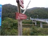 2
2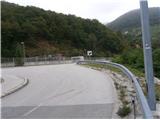 3
3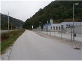 4
4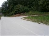 5
5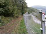 6
6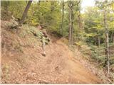 7
7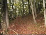 8
8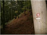 9
9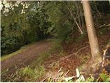 10
10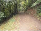 11
11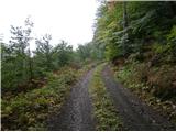 12
12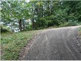 13
13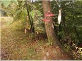 14
14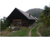 15
15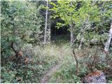 16
16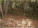 17
17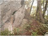 18
18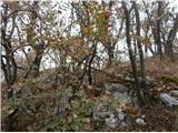 19
19 20
20