Trenta - Zadnjiški Ozebnik
Starting point: Trenta (620 m)
Starting point Lat/Lon: 46.3772°N 13.7495°E 
Time of walking: 4 h 15 min
Difficulty: easy unmarked way
Difficulty of skiing: no data
Altitude difference: 1464 m
Altitude difference (by path): 1464 m
Map: Trenta 1:25.000
Access to starting point:
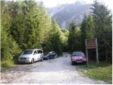
A) First, we drive to Kranjska Gora, and then we continue driving through the mountain pass Vršič towards Bovec. Soon after the 50th serpentine the road crosses the river Krajcarica, from where we drive for approximately 1 km to the spot where a gate-closed forest road branches off to the left. We park a few meters before the gate in a suitable place by the road.
B) We drive to Bovec, and then we continue driving towards Trenta. When we arrive in Trenta, we will notice a forest road before the center of the settlement which from the main road branches off sharply to the right. At the mentioned junction, which is located a few hundred meters before the center of Trenta, we turn sharply to the right and then we park in a suitable place by the road.
Path description:
From the gate, we continue on the forest road, which ascends gently and brings us to a junction, by which there is a smaller "parking lot". From the junction, we continue on the lower right road following the signs Prehodavci, but we walk on it only a short time because then the signs lead us left into the forest. The path ahead leads us past the house and behind it starts ascending again. Further, we ascend along the stream Beladovec, on which we can notice some nice smaller waterfalls. During the ascent along the stream, the path gradually becomes less steep, then turns slightly to the left, where it flattens even more. Next follows a few minutes of entirely easy walking, then the path, which runs along an old mule track, starts to ascend moderately in zigzags. For some time we still ascend through the forest, then, when we are already high above the stream, the forest also gradually starts to thin out. Next follows a few minutes of walking and the path brings us to the hunting cottage in Trebiški dol.
The path ahead still continues along the mule track, which leads us below the ridge of Špičje on the right and Velika glava and Veliki Konj on the left. A moderately steep path, which continues through a panoramic valley, splits a little higher into two parts.
We continue on the lower left path (right Prehodavci), along which we quickly arrive at the saddle Čez dol.
On the grassy saddle, more precisely at the cairn, we leave the marked path and head onto an initially barely visible footpath which crosses the overgrown grassy saddle Čez Dol. On the north side of the saddle Čez Dol, we arrive at the southern slopes of Zadnjiški ozebnik or initially still the slopes of Veliki Konj. The initially barely visible footpath leads us further across grassy slopes grown with bands of dwarf pines. Higher, the path brings us into a short indistinct valley, from which with the help of a few cairns we arrive at the ridge of Zadnjiški Ozebnik. Here we continue right and proceed along the very panoramic ridge. The summit, which we already see in front of us, we reach after approximately 5 minutes of further walking.
On the way: Planina Lepoč (1090m), Planina Trebiščina (1412m), Čez Dol (1632m)
Pictures:
 1
1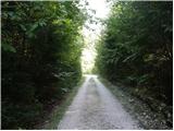 2
2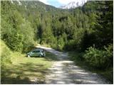 3
3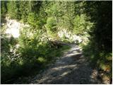 4
4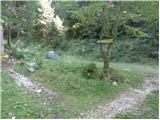 5
5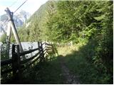 6
6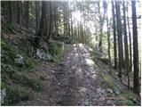 7
7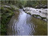 8
8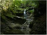 9
9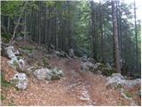 10
10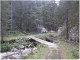 11
11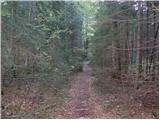 12
12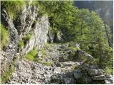 13
13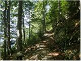 14
14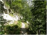 15
15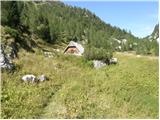 16
16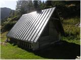 17
17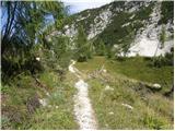 18
18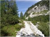 19
19 20
20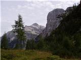 21
21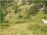 22
22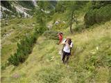 23
23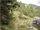 24
24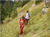 25
25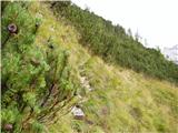 26
26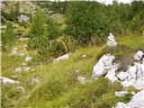 27
27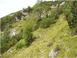 28
28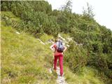 29
29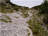 30
30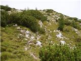 31
31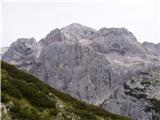 32
32 33
33 34
34 35
35 36
36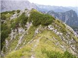 37
37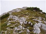 38
38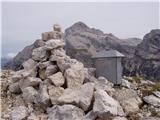 39
39